Technically speaking (and surveying is a technical discipline), there is no such thing as a ground coordinate system. We cannot ever scale coordinates to match ground distances. The reasons for this are that the terrain of the Earth does not lend itself to a simple mathematical shape or frame, such as a plane, or a sphere, or even an ellipsoid. The shape of the Earth is unwieldy, craggy, rolling, hilly, mountainous, sloping, etc. In a very technical sense, we can scale a ground measurement to a defined grid, by using the combined factors at each end of the line, but we cannot scale a grid system to get a ground measurement. Two factors are applied to convert a grid measurement to a horizontal surface distance (or vice versa). The factors used are the grid factor (or scale factor), which is related to the separation between the perfect mathematical shape of the grid projection surface and the perfect mathematical shape of the ellipsoid at a particular place on the grid and the ellipsoid (relevant for a specific place on Earth) and the elevation factor, which is related to the separation between the Earth surface and the ellipsoid at one particular place on Earth. When combined, the product of the elevation factor and grid factor (also called the scale factor) is commonly referred to as the Combined Factor. This Combined factor is relevant to a very narrow set of points on the face of the Earth with a specific elevation. While the precise Combined Factor of a point may be equal to the precise Combined Factor for another point, this is coincidental and not usually the case. The Combined Factor will vary with location and elevation.
A project may be such that all points within the project have a functionally equivalent Combined Factor (perhaps varying only a few ppm for the entire project). In such cases users may scale all grid coordinates in the project by a single Combined Factor. They may assume that they now have ground coordinates, but this is not the case. The coordinates are still related to the grid system of the coordinates that they have scaled. This means the rate of change of distortions will be the same. This rate of change may be functionally negligible over a small area, but it exists nonetheless. Because the Combined Factor includes elevation as part of its determination, it could be said that the scaled coordinates are related to a particular elevation. This ignores the change in grid factor caused which is caused by the change in location away from or toward the line or point at which the underlying grid touches the ellipsoid (standard parallel for Lambert projections, Central Meridian for Transverse Mercator projections, origin for Tangential Plane projections). So, ignoring the effects that the relative position of a point has on the CF, the "Ground System" is related in essence to a specific elevation (more particularly the ellipsoid height). The ground typically undulates over the course of a survey site, varying in elevation to some degree from point to point meaning the elevation factor varies as well. So to call this system a "Ground System" is simply not correct.
Most survey software probably includes the term so that we, as a profession, can easily understand the concept, but the term overly simplifies the process to our detriment. As a profession we should probably be a bit bothered by the implication.
A "ground system" relates to a specific place and a specific elevation. Changing either of these components by any degree will affect the proportionality of the system to the actual ground. Are these changes significant enough to be concerned about on the project you're using this Ground System on? Professional discretion will dictate the answer. But if you don't know enough to even understand the question, that suggests, not that you are stupid, but that there is more to learn. Don't let apathy keep you from ascending. Step up your game.
"Don't let apathy keep you from ascending. Step up your game."
Wise words, Shawn Billings.
I wonder if apathy or if arrogance is the biggest obstacle. Some guys are too proud to think they don't understand something. Oh well, regardless, both are traits to recognize and overcome if you want to move forward.
What Shawn said assumes that your state plane coordinates are really state plane coordinates, determined from a 3D survey. If you have a plain old tangent plane survey attached to the grid at one point and rotated based on another, and "scaled to grid" by a single factor then you could get back to ground using the reciprocal of the same scale factor. The key point being that to get true state plane values you have to work in 3D.
Tom Adams, post: 357351, member: 7285 wrote: Some guys are too proud to think they don't understand something.
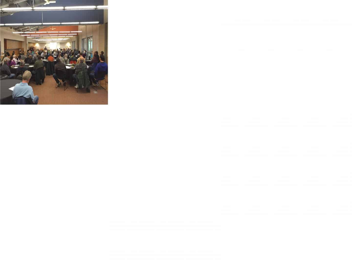
Lots of gray hair in this crowd:

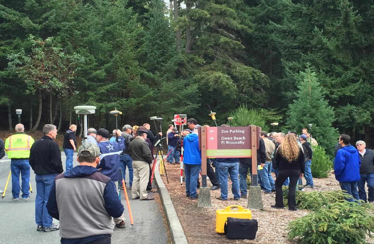
This was the RTK training we put on for the LSAW. 150 surveyors; most of them over 50; learning how to use a network system.
RADAR, post: 357355, member: 413 wrote: This was the RTK training we put on for the LSAW. 150 surveyors; most of them over 50; learning how to use a network system.
:good:
I would suspect that those are the few greats that are neither apathetic nor arrogant.
I've spoken with a lot of surveyors across the country in the past few months. A lot. I can assure you that there is no age demographic that has a monopoly on apathy or arrogance. I've been in contact with surveyors in their 60's and 70's that are continually putting in the hard work to learn new things. I've been in contact with some in their 40's that have no desire to learn proper methodology for success. The converse has also been true. I hope to encourage our ranks to realize the importance of our profession and the continuous pursuit of excellence that the profession demands.
We should be bothered when the industry feels compelled to keep providing us with the fat pencil and big chief tablet. A significant number in our ranks look at our work as a trade instead of the noble profession it truly is. Nothing wrong with tradesmen. They help make the world go round, but surveying is not a trade. We aren't a profession because we have demanded to be recognized as such or through aesthetic trappings such as including "professional" in licensure titles, requiring college degrees, or lamenting the lack of proper attire, etc. Surveying is a profession because of its very essence. We deal in measurements, law, and a dozen Earth sciences. Regardless of the superficial accoutrements of being a professional, the very nature of surveying is a profession with profound implications for some very fundamental aspects of our way of life. We should approach such a sacred thing with the respect due it.
Licensure tests, by necessity, test for minimal competency. I was licensed to practice surveying in the State of Texas in 2003. I demonstrated to the State of Texas that I was at least minimally competent to perform surveying services for the public. Minimally Competent. I know far more today than I did in 2003. I would not have been able to explain the original post to this thread in 2003. Being a professional demands a continued devotion to excellence (the process of excelling), not a starting point of perfection (completion).
I like the second half of that middle paragraph.
RADAR, post: 357355, member: 413 wrote: Lots of gray hair in this crowd...
I've watched us all age at each and every annual convention down here. I am proud to say that most of us old silver eagles (that are actually still working) have a good grasp on the latest techno-crap. My theory is this can be attributed to two main factors:
1. Most of us were around when the satellite technology came about and got on board while it was in its infancy; we've watched it grow up.
2. Most of us are the purchasers of all the new junk...and SOMEBODY has to explain it to the hired help. There is nothing more humbling than paying $50K for something and nobody knows what it will really do....
Shawn Billings, post: 357365, member: 6521 wrote: We should be bothered when the industry feels compelled to keep providing us with the fat pencil and big chief tablet. A significant number in our ranks look at our work as a trade instead of the noble profession it truly is. Nothing wrong with tradesmen. They help make the world go round, but surveying is not a trade. We aren't a profession because we have demanded to be recognized as such or through aesthetic trappings such as including "professional" in licensure titles, requiring college degrees, or lamenting the lack of proper attire, etc. Surveying is a profession because of its very essence. We deal in measurements, law, and a dozen Earth sciences. Regardless of the superficial accoutrements of being a professional, the very nature of surveying is a profession with profound implications for some very fundamental aspects of our way of life. We should approach such a sacred thing with the respect due it.
AMEN!
Here in Tasmania coordinates slowly crept into our life and growing up in our government road authority it became part of life. In their wisdom they adopted 3 zones across our little state to minimise scale factor. The only problem was how to treat the overlapping areas at edges of zones.
For most work we could run with ground or grid without stuffing too much up when it came to roadworks over a small area.
Now we have one coordinate system across Tasmania.
But we do work ground distance in all jobs (most? Can't speak for all)
Ground coordinates as such are based on a given true grid coordinate at one (stated point) and the job scaled appropriately about that point.
Very occasionally I'd do a 150 metre road survey with RTK and just leave it at grid.
Engineering here accepts the concept and some design bods understand the difference.
However our tech savvy sewer and water authorities request true grid information in as constructed drawings.
As to the public few would have an inkling of any of this, being more concerned whether we measure horizontal or follow the slope in determining boundaries.
General setout can survive either systems, but when it comes to long bridges then obviously it can have a dramatic effect!
RADAR, post: 357355, member: 413 wrote:
Lots of gray hair in this crowd:
Mr. Radar: please note, appearances are deceiving... many in that group are Not "gray", it is properly termed "sun bleached"
Peter Ehlert, post: 357380, member: 60 wrote: Mr. Radar: please note, appearances are deceiving... many in that group are Not "gray", it is properly termed "sun bleached"
Oh....I thought the ones not grey were called "bald".
BajaOR, post: 357353, member: 9139 wrote: What Shawn said assumes that your state plane coordinates are really state plane coordinates, determined from a 3D survey. If you have a plain old tangent plane survey attached to the grid at one point and rotated based on another, and "scaled to grid" by a single factor then you could get back to ground using the reciprocal of the same scale factor. The key point being that to get true state plane values you have to work in 3D.
Hmmm. In that case, you'd have a ground system, sort of, but the combined factor would still be different for instrument each setup. Loyal has explained this to me before. When surveying in the mountains, even using terrestrial only surveying methodologies, closures will be crappy unless the surveyor relates all measurements to a common elevation.
Shawn Billings, post: 357387, member: 6521 wrote: Hmmm. In that case, you'd have a ground system, sort of, but the combined factor would still be different for instrument each setup. Loyal has explained this to me before. When surveying in the mountains, even using terrestrial only surveying methodologies, closures will be crappy unless the surveyor relates all measurements to a common elevation.
It was beat into my head while surveying over a mountain range. The distance up was different than the distance down the mountain, of course the distance reduced to horizontal was longer from the top to the bottom than the bottom to the top.
This was my first introduction to the real fantasy of "plane" surveying.
You can of course do ground coordinates, if you count lat, long, elevation.
They are fun to inverse and incorporate into a description.
Excellent post Shawn!
I am aware of several PLSS Townships out in the West Desert of Tooele County Utah, that are rather unique (in my experience).
They are Townships 1 and 2 North, Range 15 West (SLM), and can be viewed on the USGS 7å? Minute Quads Floating Island NE and Floating Island SE.
The USGS has elevation on nearly all of the Section Corners in these Township, the elevation range from 4214 to 4216 in 2 North, and 4216 to 4217 in 1 North.
That's pretty fricking FLAT!
HOWEVER, as you pointed out above, that DON'T mean that a single "CAF" would fit the entire Township PERFECTLY! (An LDP could be purdy darn close though).
B-)
Loyal


