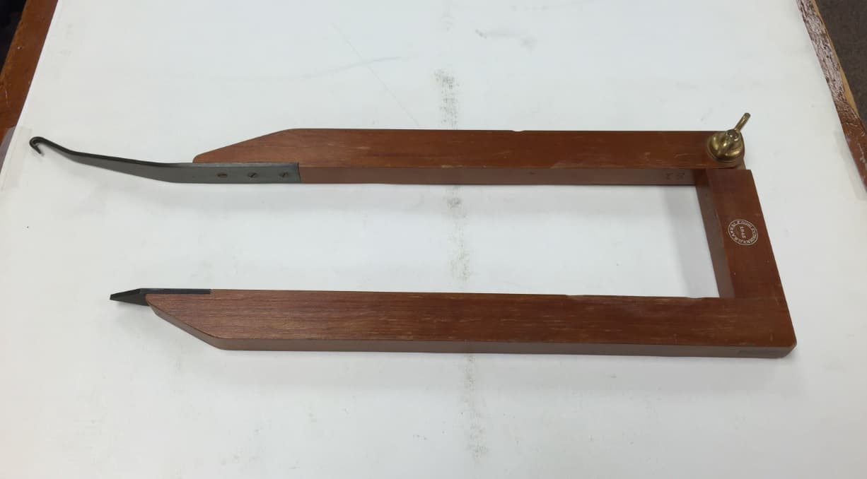
Does it somehow let you hang a plumb bob under the table and get the alidade over a point?
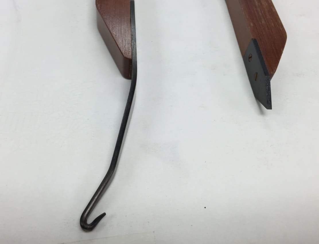
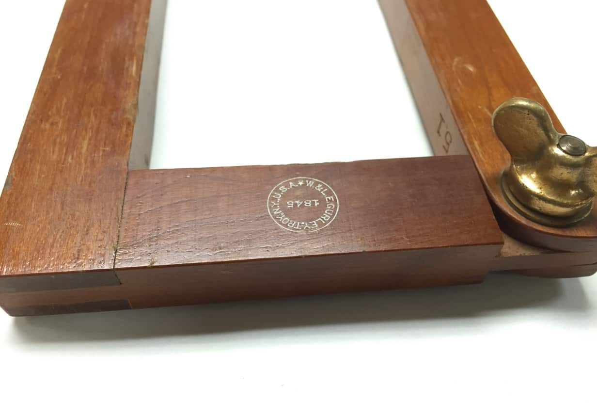
The hook would lead one to believe it was for hanging a plumb bob, but the other pointed end seems like it would go in the ground? The wingnut allows it to go from the letter "U" to the letter "L" shape.
A Harris, post: 386320, member: 81 wrote: Plumbing Arm
Page 911
I don't get it
R.J. Schneider, post: 386324, member: 409 wrote: I don't get it
Have you ever done topo work with a tool such as this?
RADAR, post: 386325, member: 413 wrote: Have you ever done topo work with a tool such as this?
No, but why not just ad hoc a bob from the bottom of the instrument screw ?
A Harris, post: 386320, member: 81 wrote: Plumbing Arm
Good find.
R.J. Schneider, post: 386327, member: 409 wrote: No, but why not just ad hoc a bob from the bottom of the instrument screw ?
Some surveyors believe you need to be as accurate as possible.
Most of the time; we just dropped a rock from the center of the tripod...
RADAR, post: 386339, member: 413 wrote: Some surveyors believe you need to be as accurate as possible.
Not to put to fine a point on this, Radar, and sure I've never done this, but the idea that it is a stadia survey, keeps coming front and center.
Not sure I get this.
R.J. Schneider, post: 386343, member: 409 wrote: Not sure I get this.
IKR?
The first surveyor I worked for would say; it only takes a minute...
I believe that you should always be as accurate as possible; but never any more accurate than that.

I imagine one secures the layout paper to the board, uses the arm to find the point on paper over the reference mark, marks the paper and lays out all the observed points. One may possibly have several reference points on the sheet and none need be exactly on center.
Paul in PA
We also used the "drop a rock" method as mentioned by Radar.
I would be interested to know how many have actually done a topo with planetable and alidade? I have, we did them all the time in the early 80's when I started out. Beaman Arc, anyone? I setup a program on my HP41 to make those comps easier. A good planetable guy could keep two rodmen hopping. I was not that good (i.e. slow), I only had a few years with one, some of the party chiefs on the crews at that time had been doing them for decades.
But you could produce a nice completed topo in the field, on mylar.
I used one in the late 70s and early 80s. I could run the elevations in my head with one rod. Worked with a guy that could write the elevations in the same direction, so that you could not tell he was writing upside down or backwards. Compared to him, i was just a novice. It was an analog data collector.
This reminds me of when we first started using an edm. I would use a portable drafting table, with a "drafting machine" and plot the shots as they were taken. The instrument man would read an angle, distance and difference in elevation and I would plot it, to scale. We would complete the project with a fine working plan. I never had the opportunity to use an alidade, though.
Dtp
R.J. Schneider, post: 386324, member: 409 wrote: I don't get it
Me niether...
Jim in AZ, post: 386471, member: 249 wrote: Me neither...
It's like taking a ground shot; on a steep slope; with a peanut prism on a fully extended, 25' rod and showing the Hz/Z location the the nearest thousandth(x.xxx) just because the software will let you...
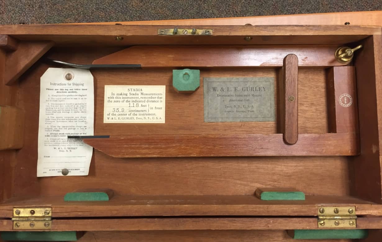
J. Penry, post: 386300, member: 321 wrote: Included in the box with a Gurley alidade. The last photo is purely speculative.
I sent Bill Skerritt the link to your post and here is his reply:
"The speculation over the plummet arm is interesting. I have a couple of these plus one I had a friend make out of tiger maple. The point is placed at the point on the paper that you intend as the instrument location. The arm is opened so that two grooves line up. In that position the plumb line is precisely under the point.
Many, but not all, Gurley high post telescopic alidades came with plummet arms.
I used to survey quarries and gravel pits with plane table and alidade. The USGS surveyed the Grand Canyon in this way. Sometimes you just didn't need high precision.
Bill"
Jim Vianna
Jim in AZ, post: 386471, member: 249 wrote: Me niether...
Radar says it comes with a peanut prism, so you can measure twice, but no one seems to mention how it is you can center over a point when you strike an angle with that contraption.
R.J. Schneider, post: 386502, member: 409 wrote: no one seems to mention how it is you can center over a point
For a minute there; I thought you were keeping up with this thread...
RADAR, post: 386339, member: 413 wrote: we just dropped a rock from the center of the tripod...
John Hamilton, post: 386390, member: 640 wrote: We also used the "drop a rock" method as mentioned by Radar.


