Please feel free to submit your photo for June. Please only photos that were taken in June of this year. Thanks, and the deadline will be Sunday the 12th
Wow, that's cool. I had no idea that such a thing existed. I would love to see a ship crossing the road.

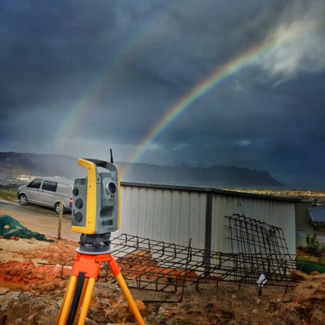
New house going up on Kanonkop overlooking stellenbosch valley
Tight tolerances needed for the layerworks on this vehicle testing track, it falls 1%south and 0.5% west. No machine control, but we set lotsa grade stakes and that grader operator did a fine job of the final cut, just finished dipping it .
Here are few pics from a recent trip/job. I finished a LiDAR control survey and had time to take a drive around Crater Lake. Found a few disks.
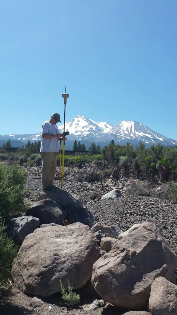
For the photo submittal threads, any chance we could stickey them to the top? I enjoy seeing everyone's photos and I think it's a great way to convey what we all are up to. I know I posted this photo on a misconstrued post on "finding the pin" it was taken in June on a very serine place trying to find a couple of PRMs
Great Smoky Mountains
Aloha,
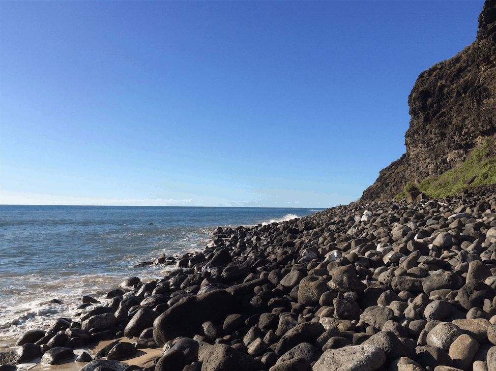
This of course not a job site. Just from an outing we did earlier this month. It is longest beach on island of Kauai--[hl]Polehale.[/hl] The first image isa spot considered very sacred by Hawaiians. It is at one end of the beach. If you walk to the other end of the beach you will be politely escorted away by the military police from the Pacific Missile Range facility:-D
This little fawn walked up to me while I was setting a pin.
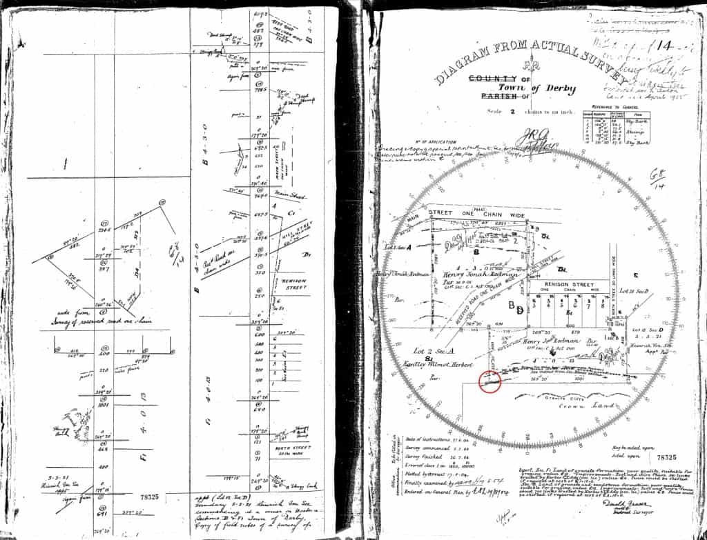
From today's efforts of a little boundary identification at the western end of a little town called Derby.
@-41.1437362,147.7911205,1233m/data=!3m1!1e3"> https://www.google.com.au/maps/ @-41.1437362,147.7911205,1233m/data=!3m1!1e3
We were very close to the red circle on the 1904 survey below. Luckily there have been surveys (recorded as we are that type of state here, thank goodness) in the 1980's and 1990's that hooked onto either end of this plan making my job today a lot easier.
It is always good to see examples of note keeping that resemble art....


