Nothing like a day in the field to change one's perspective, esp. when the job includes searching for stone corners and the scent of pine is heavy in the air. Last Tuesday, I found seven original stone corners southwest of Idaho Springs, elevation 9300 ft. The original mineral surveys were done in 1906 and 1910 by U.S. Dep. Mineral Surveyor N.H. Brown.
The last stone was the most gratifying to find. After taping 500 feet through the woods with my Brunton, I flagged a nearby Aspen after a quick search.
The other corner of the lode claimÛªs end line is 150 feet downhill.
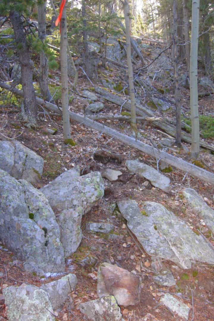
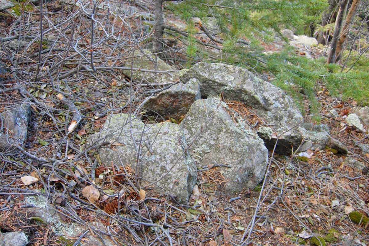
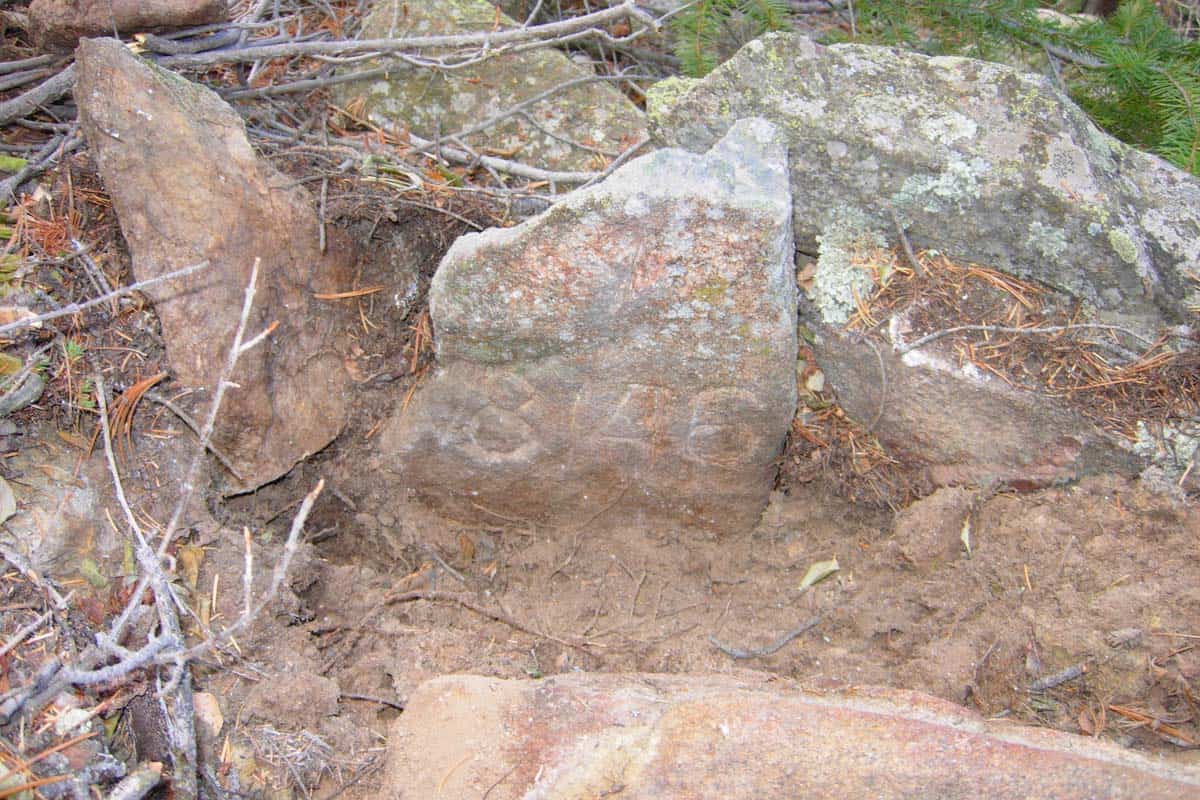
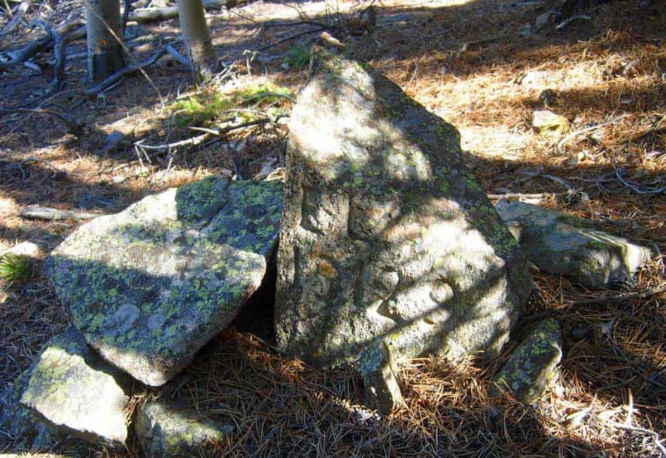
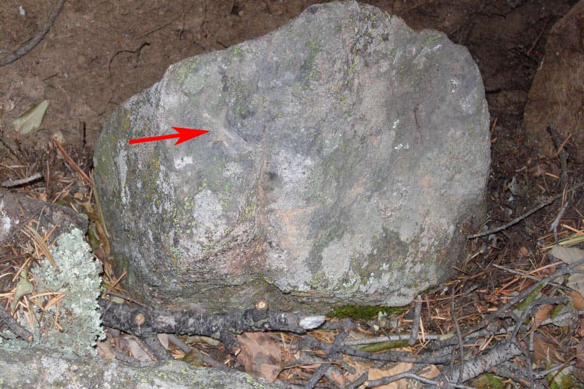
I ended up at this pile of rocks.
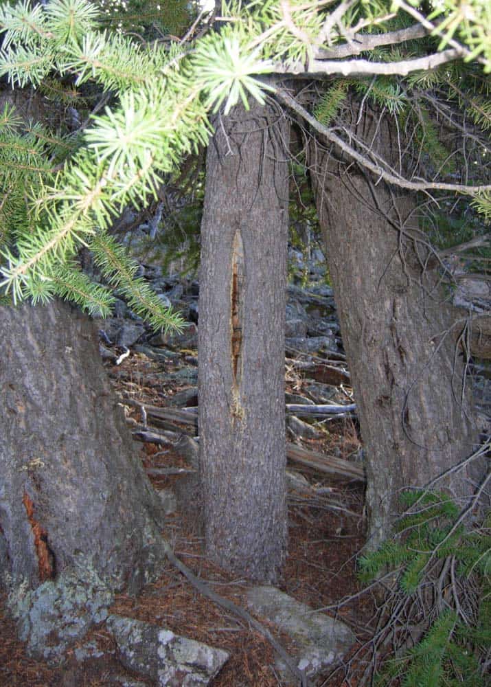
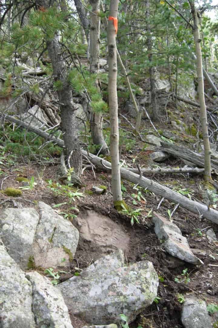
The field notes call for a 6Û pine, S 19å¡ W, 11 feet. I look in that general direction and see this 13Û diameter pine.
The center stone is upright, firmly set, matches the dimensions in the field notes, and fits the bearing tree tie. Maybe this isn't a pile of rocks after all. Rotating two of the stones in the mound out of the way shows it to be Cor. No. 1, Sur. No. 18146.
Time to go back and probe around for the other corner.
Cool pics. How close did the stones fit?
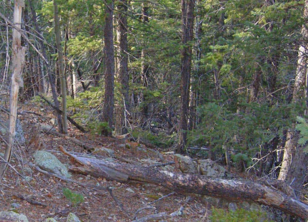
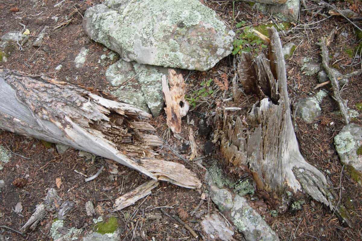
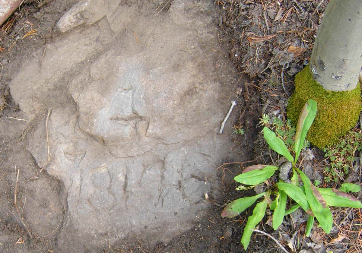
Back where I started, the notes call for a 6Û pine, N 77å¡ W, 21.5 ft. The only thing nearby is this stump and deadfall.
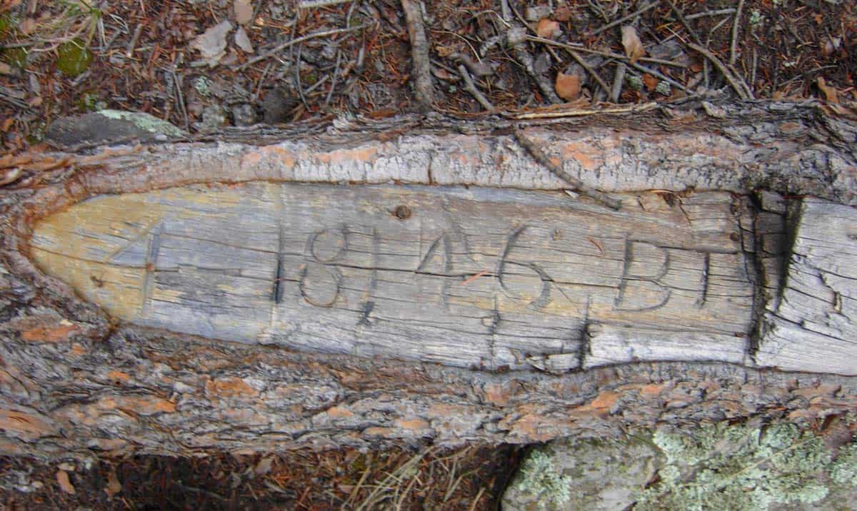
I rolled the 8Û diameter trunk over to find this.
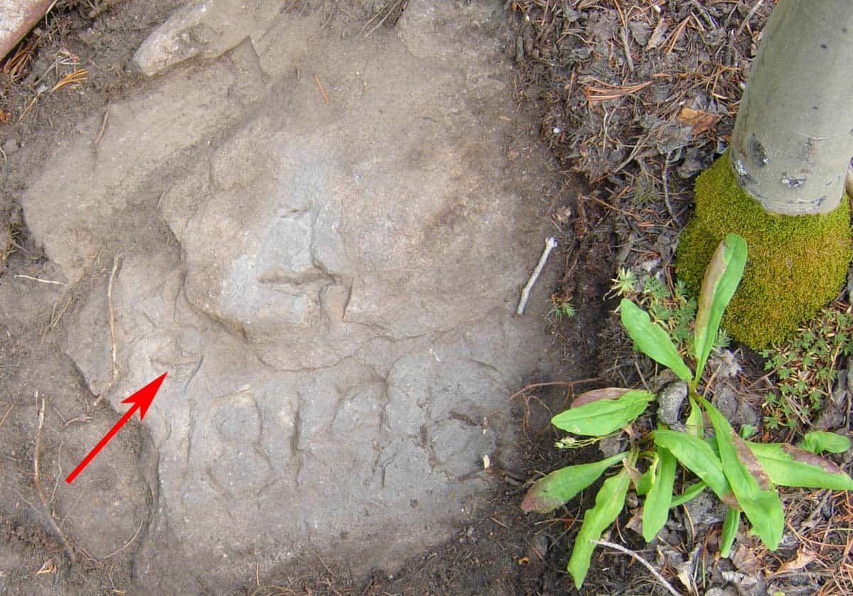
The corner description is for, ÛÏa rock in place 2 x 3 ft exposed even with the general surfaceÛ. Taping back from the BT stump.and digging down 2" to 6" in the pine duff unearthed the corner.
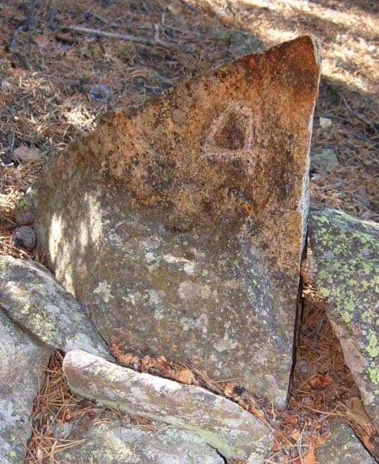
Here is a close up of the corner. The rock type is a very hard granitic gneiss. The corner number "4" is distinctive of this Dep. Mineral Surveyor.
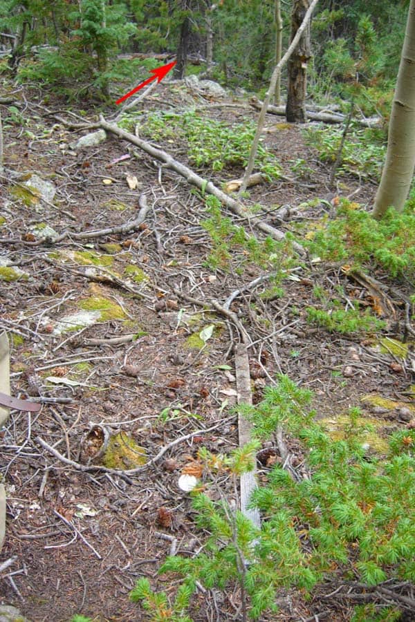
Searching the nearby area, I found this pin and plastic cap 26 feet from the stone (on the other side of the pine with the arrow). Doh!
My client hired a surveyor back in 1982 to survey this and two other lode claims. To date, I have found 8 of the 10 original stone corners for these three claims. My guess is that the pin & plastic cap was set to mark the corner. I'll tie it in and include a note on my plat showing it as conflicting evidence. This week I will verify if the surveyor set a pin and cap ~26 feet from the other stone, tooÛ?.sigh.
John,
I'll let you know after I run the traverse.
Gene
P.S. Dep. Brown was obviously adept with a stone chisel. Here is Cor. No. 3 of the Eliza Lode, which is approx. 1200 feet to the south. The stone is also a granitic gneiss.
And here is the other side of the stone, Cor. No. 4 of the Annie Lode. Dep. Brown had a distinctive way of closing his ÛÏ4Ûs.
Good find Gene!
Always nice to see your photos.
Loyal
Wow Gene those are nice finds. They don't mark corners like that around these parts. Usually old stuff here had three notches. newer stuff and X.
Thanks for posting, these always high on my interest list.
It amazes me the trouble your (assume some/all) early surveyors went to. They must have spent a lit of time pecking away at rocks, and that stuff wouldn't be easy.
Curious as to where on the rock was "The Point"?
The actual mark.
9300'. That's a long way up by our standards.
Now that is what I call real surveying, and the scenery ain't bad either. Gene: Well done, well done indeed. I would have loved to have been there with you, to see those pieces of history up close and touch them. Wow.
Bruce and Vicki
Thanks Gene.
Any chance of posting the original survey notes or what they're referred to there, please.
Gene,
Great posts, and so nice to see your work!
Andy
Gene Kooper, post: 335479, member: 9850 wrote: Richard,
Both marks are chiseled crosses.
Oh, good, only one set of crosses. Now when you're done with your survey you can chisel in the more correct location(s). 😉
Great photos Gene, good to hear from you.
Thanks for the photos, Gene.
We are scanning those photos with color spectrometry to verify the patina is correct ;-).
[USER=1201]@Bruce Small[/USER] devote a week to assisting Gene. You will see lots of cool scenery and monuments.
Thanks for the post, Gene. Nice to get a reality check every now and then. I can just smell those pines!
JBS
MightyMoe, post: 335530, member: 700 wrote: Very nice!!!!
Do you think the plastic cap was set as a corner?
That's a lot of evidence to miss:-(
I went back today with a pin finder to look for the "other pin" that might be near Cor. No. 1. Only thing I found were a handful of rocks containing magnetite. I'm not sure why the pin was set nearly 26 feet away from the stone corner. The survey was done in 1982 and there was no requirement to deposit the plat with the county. I heard that the other surveyor's records were eventually acquired by someone else who is no longer in business, so no way to get a copy. My client has a copy of the plat somewhere, but he can't remember where he stored it. I've found 27 original corners to date and have another 7 at the bottom of the hill to find. That leaves only 3 so far that I need to set.
All I do know is that the other surveyor never knew Paul Reid. Paul would have told him to go back out and find the original corner.
Damned, I sure miss Paul!
Si. Pablo is missed here as well.
Gene: neat stuff and great finds you made. Glad to see you back here.
