This has to be the shortest course in a metes and bounds legal description ever: 0.01 feet (and it is not a typo). It is part of the legal description for my next survey project. I'm thinking I better buy a micrometer.
Wow, I sure hope there's a yielding-type call to another object on that one or perhaps, e.g., "...thence X-XX-XX NESW'ly 0.01 feet to the other side of same tack..."
I like that. A single monument for 2 separate deed points!
On the other hand, 0.01' can have serious consequences: See the post "how-can-30-00-feet-turn-into-30-01-feet?"
You win. I had one a couple months ago that was 0.21', and thought that was quite marvelous.
Is it something like Beginning at one side of a tack nail, thence to the other side of said tack nail?
When I was doing a lot of residential platting, we would often get proposed layouts from civil engineer types with ridiculously short tangents. I think they were just laying the lots out to meet their needs and not thinking of the practical application of the boundary in the field.
Had stuff like that once...
Cadd monkey combined with somnambulant surveyor.
They used some software to create lots for a S/D that had specific acreage which created odd curves etc that were not needed.
That appears to be a call that was mostly a complete waste of the effort to write and expect for any actual determination of location to matter in a land survey.
Had they used more decimal places in their calculations or not have drawn images with CADD and punched auto label and/or used another means to compute, the results would have been different.
It reminds me of looking for a rod with a red plastic cap and instead finding one with a yellow plastic cap 0.01ft farther in distance and calling both locations as a corner.
At one point in time many surveyors did not even deal with calculating curve data as it really did not fit on a DMD sheet and would simply add calls for 100ft chords or divide it into multiple equal chords thruout the length of the curve.
"IRRELEVANT" comes to mind.
I am actually working on a parcel combination that has a 0.11 foot call and it is 100% legit due to the way the deeds were written and the way the property was surveyed. One parcel was an existing plat while the other was the south line of the north 200 feet......
That fits right in with my post from yesterday. 0.01 feet is effectively nothing, so this is much ado about nothing.
Bruce Small, post: 372909, member: 1201 wrote: This has to be the shortest course in a metes and bounds legal description ever: 0.01 feet (and it is not a typo). It is part of the legal description for my next survey project. I'm thinking I better buy a micrometer.
The bearing could be 180 degrees out and still have the description close within tolerances. Strange.
Maybe the description was written in Texas!
:whistle:
It's one thing to show up in a lot closure report, but to make it's way onto a recorded plan? That's pretty sloppy.
Was it the closing course? Deed plotting softwares can be dangerous...
I understand what you are saying about the sometimes very short curve lengths caused by fixed width lot lines, but that isnÛªt the case here, nor is it a closure report. This is an actual deed course, in this case between the right-of-way line and a building corner. WhatÛªs equally odd is that the street monuments are probably 4th generation and who knows how much they have moved in the past 127 years, and, the 0.01Ûª is to a wavy stuccoed building line. What were they thinking is the question.
What were they thinking is the question.
They weren't. Thinking.
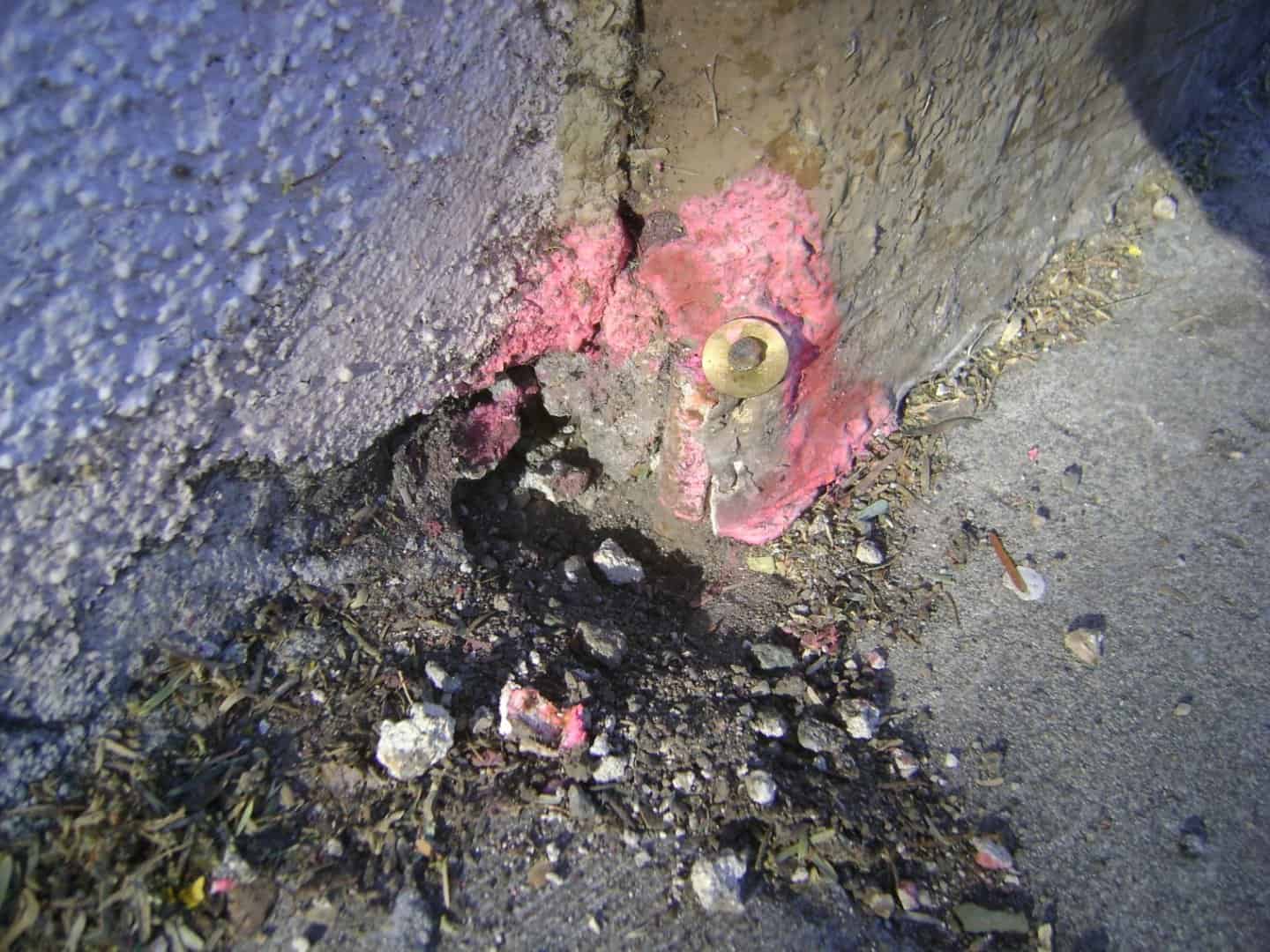
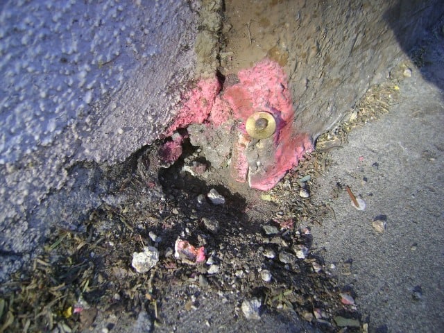
 This morning I went around the block and found this interesting pin cushion one lot over. See the recent nail and disk. Look carefully and you will see the much older 5/8" iron rebar that has been there for ages, just to the left and 0.02' away. The nail and disk surveyor has a habit of not finding original monuments. On the other side of the block the monuments were reversed. He set an iron rebar and didn't notice the nail and disk in concrete in the base of the fence post. It was under the dirt and I realize
  the fence post made it hard to use a metal detector, but isn't that why we have shovels.
I went around the block today, and one lot over I found this recent nail and disk set on the sealant between the two buildings. Suspicious, I peeled away the sealant and found the 5/8" iron rebar that has been there for years as the lot corner. You can just see the rebar - it is all of 0.02' to the left of the nail and disk.


