It's been a while since I stirred the pot, so here goes....
My control network I'm developing across a hilly, wooded 25 acre parcel (usng triangulateration*with a total station) is coming along slowly, I'm about 60 percent done with it, and satisfied with the results so far. I've referenced it to the real world so far in azimuth only (thanks to Larry Scott's help with the astro). I do not have access to any GPS equipment, which would be one option to determine the "real" location of any part of, or all of, the network, nor is there any horizontal control close enough to use for the purpose.
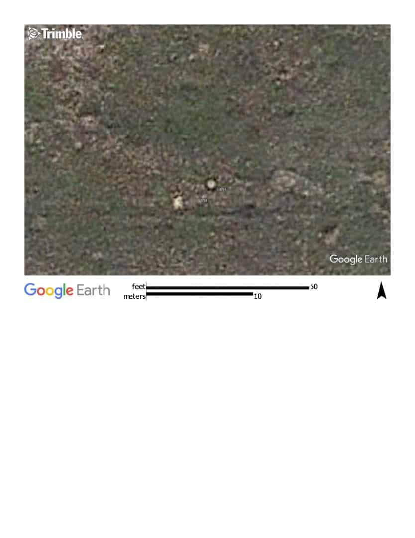
I've read of the unreliability of using Google Earth for anything but the roughest of GIS work, but wonder if over the years, with better photogrammetry, it's getting any better. If so, my long term strategy would then include building a pair of highly visible-from-space targets around two of my most visible control points, so that one day within a few years, once GE has updated the photos around here, I might have additional information with regard to location.
So, does anyone know if GE photo data is getting any better (other than higher resolution photos?). Is there any way to quantify the errors within any given photo taken?
ps: Thank you John Hamilton for the word "triangulateration" used in the paper you recently linked. Never even knew it was a word.
Would it not be with the time and money to rent a base and receiver? There are places that will ship them to you to rent? You could tie in quite a few points in a few hours and process your base file through OPUS.
I don't know what the purpose is for, or the money available.
Sent from my iPhone using Tapatalk
I guess it depends on where GE gets its imagery from. For example, PA imagery is all available for free download, it is 1' imagery (I think), and it is all processed with ground control. However, it is a bit old (a lot of it from 2006), so there is a lot of newer imagery for my area.
If they have to use satellite imagery, then the accuracy (i.e. how close to the truth are the coordinates of each pixel) is much lower than if they get imagery from some government entity (county, city, state, USGS, etc) that had a ground control survey done.
A large part of my work (more than 50% by $$) is ground control for aerial imagery and LiDAR. You can have extremely high resolution photos that are not well controlled, but usually the company doing the acquisition will specify an accuracy for ground control commensurate with the resolution. Typically this is specified by the end client. We adjust our procedures to meet whatever accuracy is needed. Sometimes it is 1 m, other times it is 2 cm.
So my answer is, it varies.
I've noticed GE getting better matching of photo panels, so that some older 30 or 75 (!) ft shifts of roads no longer are seen in areas I've looked at. But that doesn't prove their coordinates are good or the linearity is good across the panel. And if they are good to feet, I'm not even sure what reference frame they are in - consistently IGS08/WGS84, or NAD83(xxxx)?
An interesting study I might try would be to use the NGS gravity study done across Iowa. Search for GSVS14 on their web site. Many of their 204 new points are visible in GE because of the 2 ft diameter concrete ring they poured to support the gravity meters. A file in their reports gives IGS08 coordinates to GPS precision. They have a KMZ file of the points, although I haven't checked - that file may just use the Garmin handneld coordinates that were used for the crews to find the points, and appear on the data sheets. I might look into that later today if I don't get sidetracked.
What resolution do the coordinates read out on the version of GE you are using? I haven't checked for program updates, but I only see x.xx seconds, which is about 1 ft resolution. For my purposes, I am either satisfied with Garmin accuracy (a couple yards at best) to find something or else want OPUS accuracy (a couple cm) to have the best possible idea of where it is. A ft or two is not much better than a couple yards for most purposes.
I recently imported some county line work shape files into GE and was impressed with the way it matched.
I took a quick look at the GSVS14 data. I can't figure out what they put in the kmz file, as it doesn't seem to be accurate IGS or NAD83. They vary a few feet either side of the IGS coordinates but are not the data sheet HH2 coordinates.
The IGS08 coordinates in an Excel file from their site, examined for a few points, plot within a foot or so of the GE image. That says the photos in those areas had IGS/WGS84 control. As mentioned above, it will all depend on the source of the photos.
Andy J, post: 411404, member: 44 wrote: impressed with the way it matched
What was the typical difference?
Jason Graves, post: 411376, member: 9531 wrote: Would it not be with the time and money to rent a base and receiver? There are places that will ship them to you to rent? You could tie in quite a few points in a few hours and process your base file through OPUS.
I don't know what the purpose is for, or the money available.Sent from my iPhone using Tapatalk
Purpose is educational only. Have more time than budget.
lots of people think Google uses photos they take (via satellite).
Nope, they actually harvest imagery from various sources, mostly from public agencies I think.
Some agencies have very high quality control for their imagery, some are really crummy low budget operations.
Same with the meta data, as in street addresses.
Location, location, location
here, I am able to get better imagery (Geo-referenced) direct from the Government agency than Google has...
just speculating, with the global budget crises, I don't expect it to get better soon.
PS: 10 years ago the address for my home in Prescott Valley, Az. plotted about 1/2 mile up the street, I just checked... it is now spot on and the background imagery is much finer/clearer.
Peter Ehlert, post: 411561, member: 60 wrote: lots of people think Google uses photos they take (via satellite).
Nope, they actually harvest imagery from various sources, mostly from public agencies I think.
Some agencies have very high quality control for their imagery, some are really crummy low budget operations.Same with the meta data, as in street addresses.
Location, location, location
here, I am able to get better imagery (Geo-referenced) direct from the Government agency than Google has...just speculating, with the global budget crises, I don't expect it to get better soon.
PS: 10 years ago the address for my home in Prescott Valley, Az. plotted about 1/2 mile up the street, I just checked... it is now spot on and the background imagery is much finer/clearer.
They are shooting some stuff, whether it represents an increase in in-housing or not, I don't know. Talked to a guy out on the ramp last week who was keeping guard over a sizable fleet of Cessna 206s- said they were all shooting Google stuff, and indicated his firm was in other locales doing the same, that they'd been at it for a while and were gonna be for some time. I only asked about his plane's exhaust, which led to the whole thing- got a "tour" of the rig, which was pretty cool.
Aside- sometimes you can catch a whole fleet of aerial planes on flightaware, going to an assignment in some other city. Once you know what you're looking at, it'll stick right out on the screen.
flyin solo, post: 411566, member: 8089 wrote: They are shooting some stuff, whether it represents an increase in in-housing or not, I don't know. Talked to a guy out on the ramp last week who was keeping guard over a sizable fleet of Cessna 206s- said they were all shooting Google stuff, and indicated his firm was in other locales doing the same, that they'd been at it for a while and were gonna be for some time. I only asked about his plane's exhaust, which led to the whole thing- got a "tour" of the rig, which was pretty cool.
Aside- sometimes you can catch a whole fleet of aerial planes on flightaware, going to an assignment in some other city. Once you know what you're looking at, it'll stick right out on the screen.
That sounds cool. they're shooting from aircraft? Any idea what altitude? What did the cameras look like?
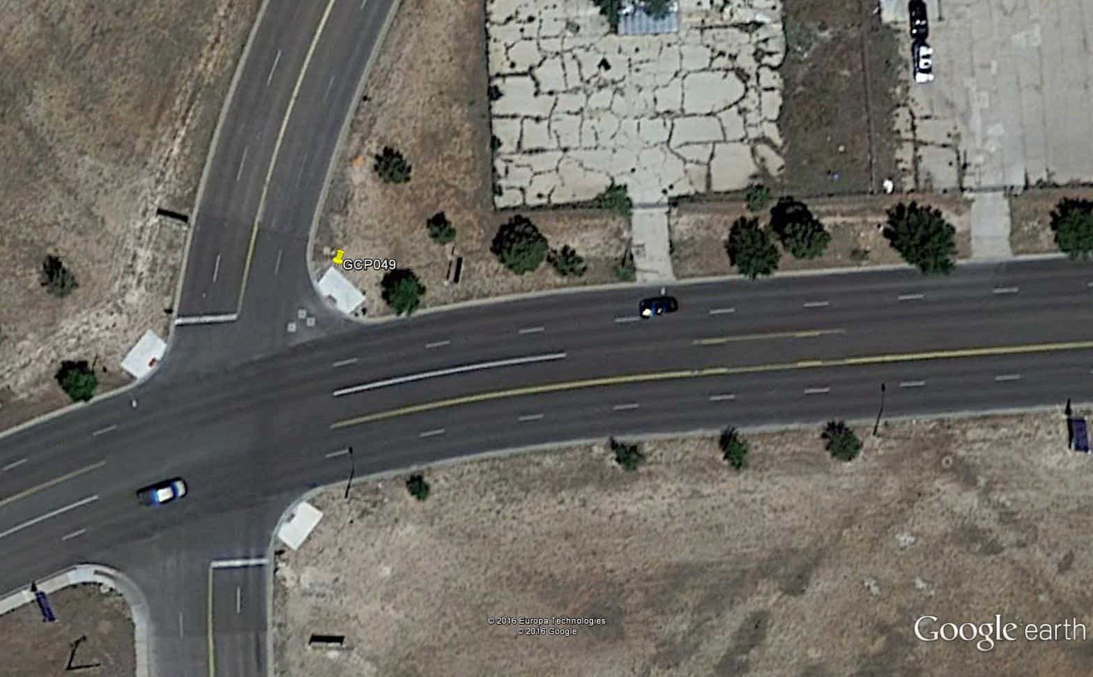
Yesterday I was preparing deliverables for a large photo control project of 192 points covering an area about 1200 km N-S and 1200 km E-W. We were not controlling the entire area, just 60 scattered sites inside that area. I use log sheets, ground photos, and Google Earth to write brief descriptions for the photogrammetrist to use in identifying the points, which were mostly photo ID's (probably about 90% ID's and 10% targets). So I bring my adjusted coordinates into google earth. The accuracy varies a lot. Some areas the point falls right on, others it could be a meter or more.
Here is a typical ID that was pretty close...
We were doing control for 3" (7.5 cm) GSD.
John Hamilton, post: 411671, member: 640 wrote: Some areas the point falls right on, others it could be a meter or more.
Does GE have a symbol that is centered on the coordinates? It seems that most of them are placed with a corner of the icon at the coordinates, and you can see movement as you zoom. If I'm being fussy about locations, I overzoom to place the icon before reading coordinates.
Bill93, post: 411418, member: 87 wrote: What was the typical difference?
Bill, I don't have any "hard numbers" to share, but I am lucky that my county does have some well geo referenced imagery that GE is clearly using here. Our property appraiser site uses the same data. Of course the parcel lines are not nearly as useful.
RFC,
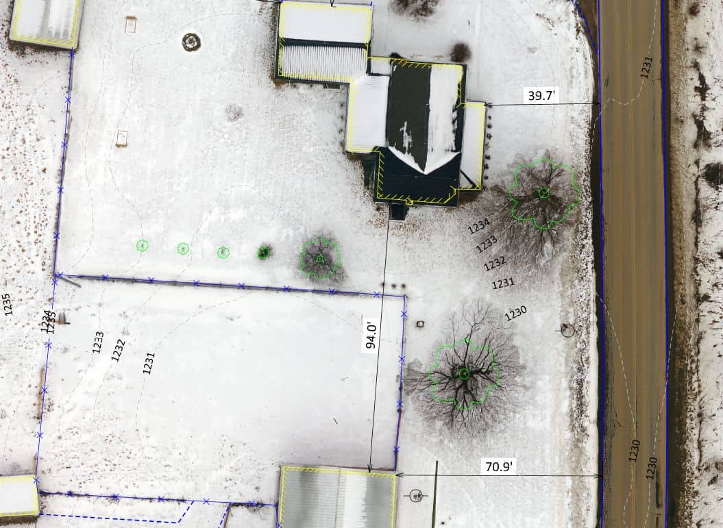
Fly your own aerial. Since you are working on your own property, doing only a single survey project in your lifetime, then you could rent a drone and do it your self. Or phone a friend with a drone. This time of year makes for great aerials without the leaves and grass.
Here is a test site I did, when there was only an 1" of snow on the ground, on a cloudy day. 


