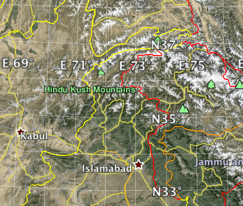
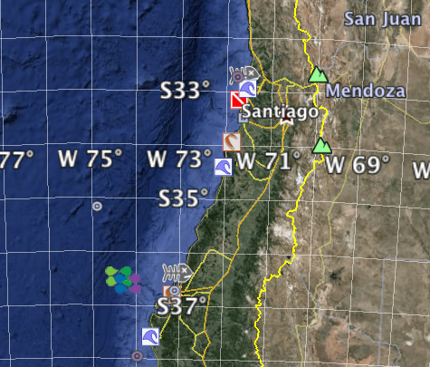
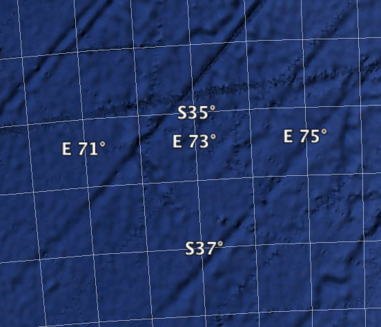
I received a coordinate file for a project yesterday. They looked a little strange. When I plotted one pair for a test it looked like this.
I wonder where one gets a license to do legal surveys in that locale. Perhaps it's the new site for Buoystown.
Holy Cow, post: 364075, member: 50 wrote: I wonder where one gets a license to do legal surveys in that locale. Perhaps it's the new site for Buoystown.
Not a license, but....
What datum are the coordinates on....UTM? Or perhaps from a CAD file and the N/E reversed to represent x/y? Just a thought....
I don't know who did what. When I look @ someone else's work, and some things don't make sense, the first thing I do is try to find out what I did wrong. If I can't find anything, I try to figure out what they may have done to get their screwy results. I have a lot easier time if I figure out exactly what bonehead thing someone most likely did.
not my real name, post: 364073, member: 8199 wrote: I received a coordinate file for a project yesterday. They looked a little strange. When I plotted one pair for a test it looked like this.
At first I thought this was easy. NEZ rather than ENZ (or some similar coordinate transposition).
But 73N x 36W doesn't look much better than 36N x 73W:-D
Perhaps they are using Washington DC as the longitude base???
https://en.wikipedia.org/wiki/32nd_meridian_west_from_Washington
DDSM:-S
That wouldn't be from the NC Bridge Inventory file, would it? Several years ago I wrote software to convert federal bridge inventory text files to kml. There was a bridge in Brunswick County whose official gummit coordinates were in the middle of the Atlantic Ocean.
If a client or colleague want to send me a coordinate file, I always ask for the metadata that describes the coordinate system. When sending a coordinate file, I always include this information.
This avoids uncertainty, and more importantly, liability.
For instance, I have clients that use UTM mapping coordinates scaled to ground (and still labelled as UTM) because "that is the way we have always done it". If they do not know why I need the metadata, I explain it to them using examples from my collection of coordinate problem data sets that I have collected over the years.
One of our responsibilities as professionals is to provide guidance.
itsmagic, post: 364241, member: 468 wrote: I always ask for the metadata.
Yes, sir. Did you want your room to be 68 Fahrenheit or 68 Celsius?
Bill93, post: 364287, member: 87 wrote: Yes, sir. Did you want your room to be 68 Fahrenheit or 68 Celsius?
Or 68 Rankine, or possibly 68 Kelvins (for those that like their rooms very chilly).


