Had a perfect day doing sectional work. Here are a few pics.
Started out at the West 1/4 beacuse it was closest to the base.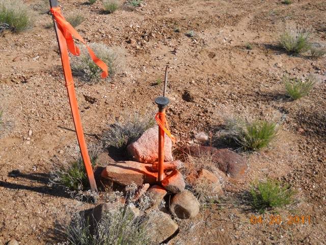
Then on up the line to the NW SC.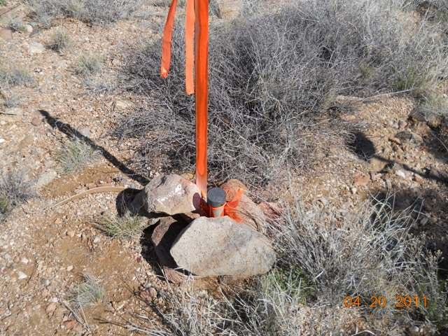
View looking east to the N 1/4.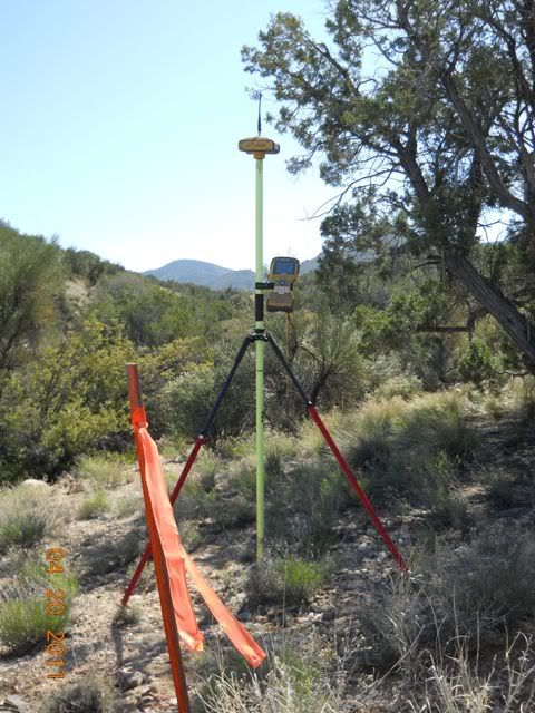
Now the N 1/4 was harder to find, had this to deal with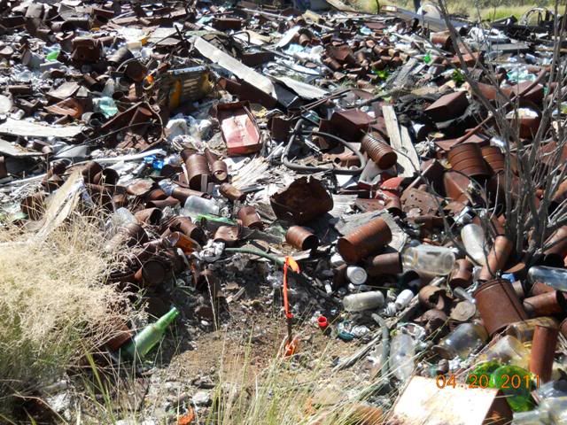
and a close up of the 1" I.P. with rebar in it I found.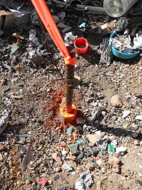
The NE SC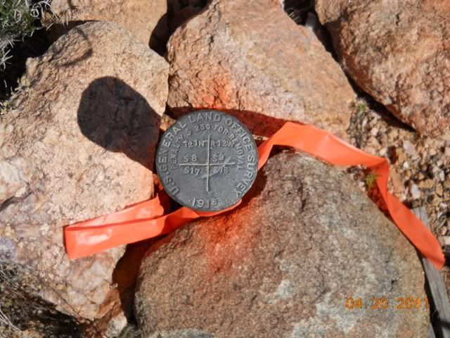
The E 1/4 is a W.C. of .25 chains in the direct of this photo, hard to tell why its a W.C. must have just not wanted to set it in the bottom, possible wash out.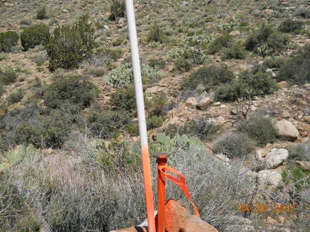
The SE SC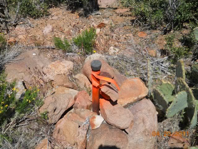
View from the SE SC over the Section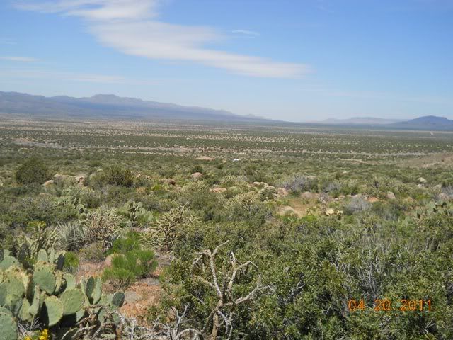
The S 1/4, with a rare pic of the Boss.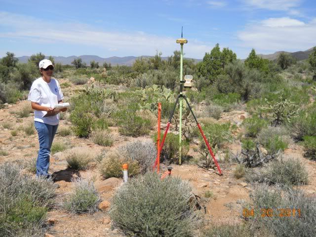
The SW SC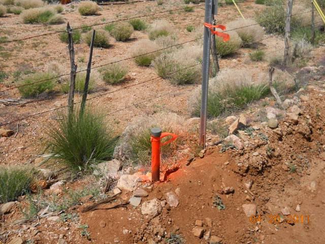
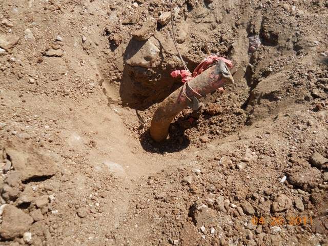
and last the Center Section
The rest of the breakout was just me setting irons, nothing to exicting to take pics of. Ended up being a 14 hr day, plus 2 hrs travel, but I enjoyed every minute of walking around. Now its time to start on the Record Of Survey to file.
Hope you enjoyed the pics.
Lee
Great pictures, thanks for posting.
Keith
Would you mind telling us why your survey was needed? Are they planning to build a Starbucks or something?
I was also wondering what the general use of that land would be. I am guessing cattle, but I am probably wrong.
Why is it that, judging from all the pics that get posted here, everyone seems to work in RTK Utopia ... expect me ... 🙁
> Why is it that, judging from all the pics that get posted here, everyone seems to work in RTK Utopia ... except me ... 🙁
Because we do work in RTK Utopia, or we have been using GPS long enough to know when to leave it in the truck, and run old school under canopy. The longer you use your RTK, the more you get a sense for when to leave it in the truck. 🙂 I've been using RTK since 1996 when it was a 4000SSi on my back, and a 900Mhz radio that worked 1/4 mile line of sight at best.
Nice photos, by the way. 🙂
How would you feel about sharing those coordinates, pictures, history and descriptions?
I just got home from the WSS-ASCM meeting where Gary Gervelis spoke on the state of the State Data Base. Check this out............
I'll collect my thoughts..and my notes and post later, about the meeting.
Cheers,
Radar
You public land guys have it made, just keep walking around and you might just trip over that big ol pipe with a cap on top. Dang he had to move a few tin cans to find one, that must have burned up most of the day right there. lol.:-)
I an licensed in a PLSS state so I have been there, done that and it was challenging and fun, but just saying....
Good pics!!!! and just kidding.
How much do you budget for paint? LOL
Great Pics!
I've never seen old WW1 era GLO 1/4's so straight. They left them tall like that here but many of them got bent so bad they can't be plumbed no matter what you do (they often look more like the center 1/4 you found). Did you find them like that or did they need some rehabilitation?
These pics make it look EASY!!!!!
If only it were always so.
I know everyone gets splattered (flamed) for using too much orange paint.
But you have to understand, the client wants to be able to wander around, with no idea where they are and see the monuments from a mile away. I think it's a good thing when they know the limits of their land ON THE GROUND rather than on paper. Heck it looks like wasteland anyway, can't hurt anything 😉 JRL
The Section had a paper subdivision done on it back in the 60s and sold as 10 ac lots. I was surveying 2 lots for a home owner.
But you sould see the bruises they leave on the legs when you trip over then.
This one was one of the easiest to date. I did have one I could drive to every corner and the road grader even made pull outs to get out of the road at each one.
Funny you say that. I didn't take the normal survey gig, loaded everything into my other truck and I have over 20 cases of paint in the garage and at 4 in the morning I grab the one case that I was putting all the bad cans in. Lucky I keep a can of paint, roll of flagging and a roll of toilet paper in all my trucks. Never know when one of those 3 items will be needed.
Most of the time here the County wants Section line roads for any 5+ac breakouts. When that happens you will see alot of them destroyed.
The County Surveyor current and past here have spent alot of time trying to preserve them by a few different means, setting r.p. and even lowering them into hand holes.
This Section was mostly still native and only had small trails going near the monuments, thus the pics show them how I found them.
Our corners (in south florida) are usually as far down as those are up,
Why do you want to hide them like that?
We wouldn't need to carry a shovel if the durned Surveyors wouldn't bury them in the first place 😉
> Our corners (in south florida) are usually as far down as those are up,
^^^ When you can find them. Usually they look like the center of section after you dig them up. Sometimes you can dig up the brass cap which rusted off and fell in the dirt 40 years ago in South Florida, but not always...


