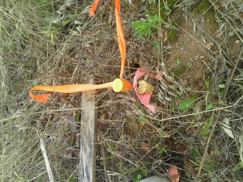
This was a stone that the three previous surveyors hadn't mentioned finding... Surveyor 1 set his own at a single prop distance.
record was a 24"x15"x12" stone
found a 24"x15"x12" lying loose - face down about 40 feet down the slope from a calculated position.....
looks like the stone was lying flat when in place based on the mark.
no original conclusive evidence of the 2 BTS to ascertain a position... :-/
in other news.... Mr. Bear is probably feeling better now....
I love it when you find a stone that measures what the field notes say! Especially when it has been overlooked or ignored!
Another bittersweet discovery.
Think it may have slid down the slope 40'?
I'm pretty sure it was up on the slope. At least 3 different skid trails traverse the slope in the area. Most likely a dozer- they're about 2-2.5 feet deep, plus the drags of trees behind sweeping across the slope in area. There's one significant divot where something broke free on the slope in about the "expected" correct position, but none of the stumps are remotely close to validate the location. 10 in fir and 5 in fir - corner was from 1886.
Mr. Bear probably rolled it down the hill looking for some bugs to eat.
Two steel pins and caps set by the same surveyor. The taller pin is actually leaning over the lower pin. so the center of the cap is basically the same. ?!?!?!
This is a perfect example of the type of problems cause by RTK.
It's clear which one is correct based upon the quantity and quality of flagging.
Can't quite read the cap number....
the stone was marked sideways, very unusual
gary_g, post: 384654, member: 1026 wrote: Two steel pins and caps set by the same surveyor. The taller pin is actually leaning over the lower pin. so the center of the cap is basically the same. ?!?!?!
Oh what BullS#!##


