This sure helped today. There's a rod and cap in one of these pictures that just doesn't make any sense according to the recorded plat. This old iron places the right of way pretty close to the platted width. The part that throws me is not only do the rods and caps not monument the platted width, but they are on different sides of the row, as though the surveyor was not just surveying a lot or two on one of the blocks, but monumenting the row ??
There are monuments up and down this row at the platted width, and buildings built right up to the PL in this old subdivision showing old occupation. I wish I knew why things like this happen.
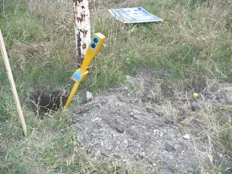
View South along East row
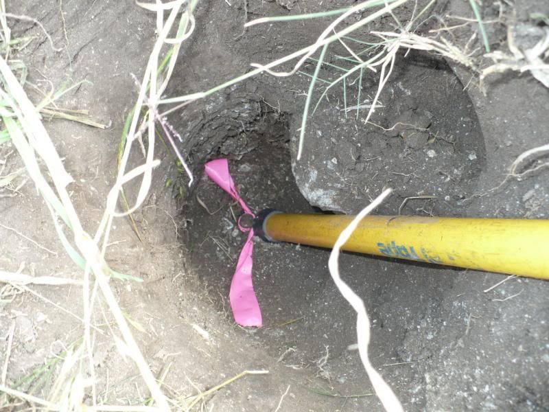
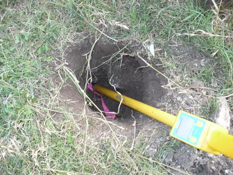
Old iron at platted width
Old iron at platted width
I can not count the times I have set monuments along curves and straight segments of R/W for clients to know where their boundary is.
Some times I took the time to place them at the 100ft stations and then others they were placed randomly.
B-)
I wish I would have never dug up and tied those @#$^$%& capped irons. :-/
Brad Ott asks the dumb question of the day, "Why is that old iron so deep"?
Because..........that's where God the Surveyor put them.
Brad Ott asks the dumb question of the day, "Why is that old iron so deep"?
It does seem deep, but not unusual. There are times when the original monuments take some effort to find. It wasn't this deep to begin with. You could probably look at the top of the concrete footer for the metal pole and suppose it was poured at, or just below grade. In the close-up photo of the hole you can probably make out an elevation line where the oyster shell begins, and the pile of shell off to the side of the hole.
That was likely the paving used on that property. The rest of the dirt was likely accumulated from clearing this old lot, or maybe spoil from clearing the bar ditch.
Good explanation. That will help my mind think more about what my eyes don't see on future recon efforts.
Thanks.
> Good explanation. That will help my mind think more about what my eyes don't see on future recon efforts.
>
> Thanks.
It looked to me that it could be the bottom of a pin driven in from China.;-)
> There are monuments up and down this row at the platted width, and buildings built right up to the PL in this old subdivision showing old occupation. I wish I knew why things like this happen.
Those yellow caps must give some clue as to who set them. Get on the horn and ask for an explanation. There may be a perfectly reasonable one.
I have to amend that previous post. The "Original" monuments were called to be wood stakes set by the platting surveyor of record. I really hadn't expected to find wood stakes from ninety years back. I suppose this iron could be considered set at an earlier date.
There's been considerable information emerging lately confirming the original platted width. This field exercise has been an eye-opener and maybe a wake up call.


