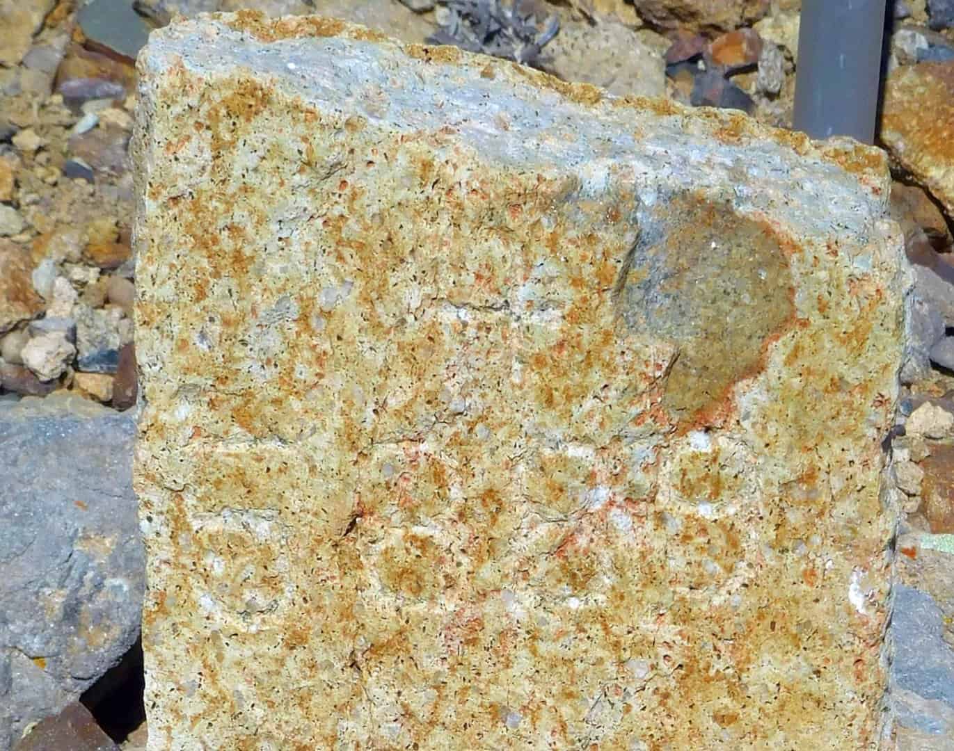
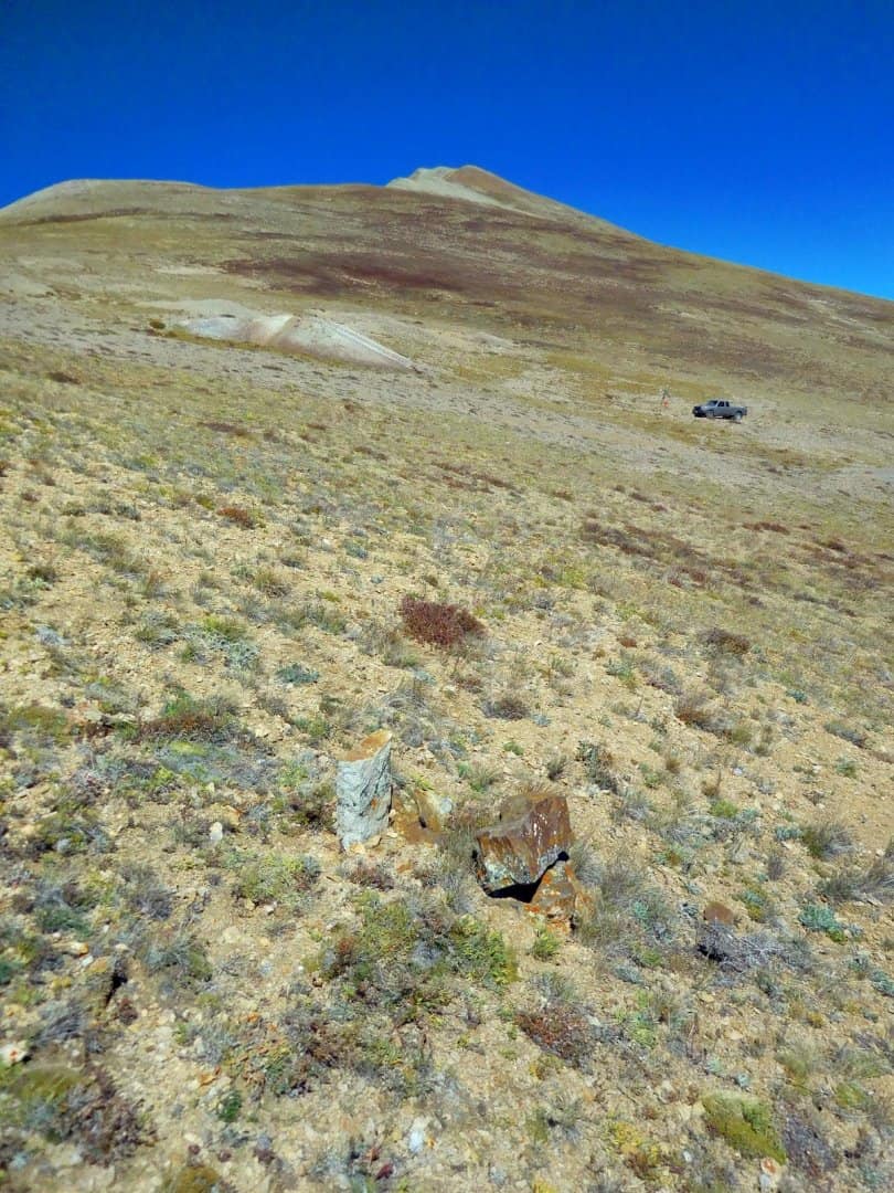
Some stones just stand out against the landscape, but still are difficult to survey (at least for an old corpulant and gray-haired solo surveyor to get to that is). This is Cor. No. 4 of the Luzerne Lode (MS 5889) located on the east side of Mt. Bross at an elevation of 12,859.81 ft (NAVD88).
The town below is Alma, CO. The mountain in the far background just to the right of the Leica GS14 is Pikes Peak. The last two photos show the chiseled corner and survey number. Made me wonder aloud whether the old deputy mineral surveyors had something akin to a Ames Lettering Guide to layout the chiseled numbers on their stones. Draughtman's quality lettering by U.S. Deputy Mineral Surveyor J.W. Evans in 1889.
SWEET!!!
12,860 is getting up there. At what altitude did you leave the truck, and how far away?
:gammon::stakeout::plumbbob:
Jim Frame, post: 390677, member: 10 wrote: 12,860 is getting up there. At what altitude did you leave the truck, and how far away?
😀
Here's a picture of my base and truck at the next corner (Cor. No. 6 of the Cut Off Lode, MS 3434). The base is at 12,901 ft. and approx. 240 feet from Cor. No. 4 of the Luzerne Lode (42 ft. below the base). It is the first stone that I check before going UP the "hill" when I occupy this base station. That way I know the rover is working correctly before I do too much unnecessarily. The furthest stone is Cor. No. 3 of the Ottawa Boy, which is approx. 2900 feet up the hill at 13,553. I have surveyed 46 stone corners on this side of Mt. Bross (some with Dave Karoly).
In order to leave a "magnetic signature" at each corner I set 2-foot long steel "T" fence posts as accessories. Any found or set mineral survey corner in Colorado requires the filing of a monument record with a minimum of two accessories. I will be setting 5 witness corners along the ridge line for corners on the other side that are in a scree slope, which means I get to haul five #6 rebar and 10 2-foot sections of steel fence posts this coming weekend before the snow returns.
67 miles +/- southeast from Mount Bross to Pikes Peak, passing almost directly over Florissant. That is as the crows flies with an oxygen tank and a breathing mask. But, don't try flying that way because you might go directly over TDD's cat house and he might bring out his heavy artillery that he normally reserves for the black helicopters. It's about a quarter of a mile uphill along the path as well.
Thanks for the photos Gene. I spent some of my childhood in Buena Vista and got very familiar with the local peaks. One of my favs was the Buffalo Peaks, probably 20 miles almost due south of where you were at. I can't say as I can remember what Buffalo Peaks looked like from the Alma/ Fairplay side...Something might be in the way (Sherman?).
Beautiful country any way you look at it. You can see forever when you get to some of the tops.
I can remember a surveyor, some years back, explaining having to walk up those scree slopes with concrete monuments slung over his shoulder.
Thank god for flat land.
Gene Kooper, post: 390674, member: 9850 wrote: Some stones just stand out against the landscape, but still are difficult to survey (at least for an old corpulant and gray-haired solo surveyor to get to that is).
Is the idea that the corpulent surveyors have an easier time surveying these stones? Hard to imagine that spelling makes that much difference. :>
paden cash, post: 390713, member: 20 wrote: Thanks for the photos Gene. I spent some of my childhood in Buena Vista and got very familiar with the local peaks. One of my favs was the Buffalo Peaks, probably 20 miles almost due south of where you were at. I can't say as I can remember what Buffalo Peaks looked like from the Alma/ Fairplay side...Something might be in the way (Sherman?).
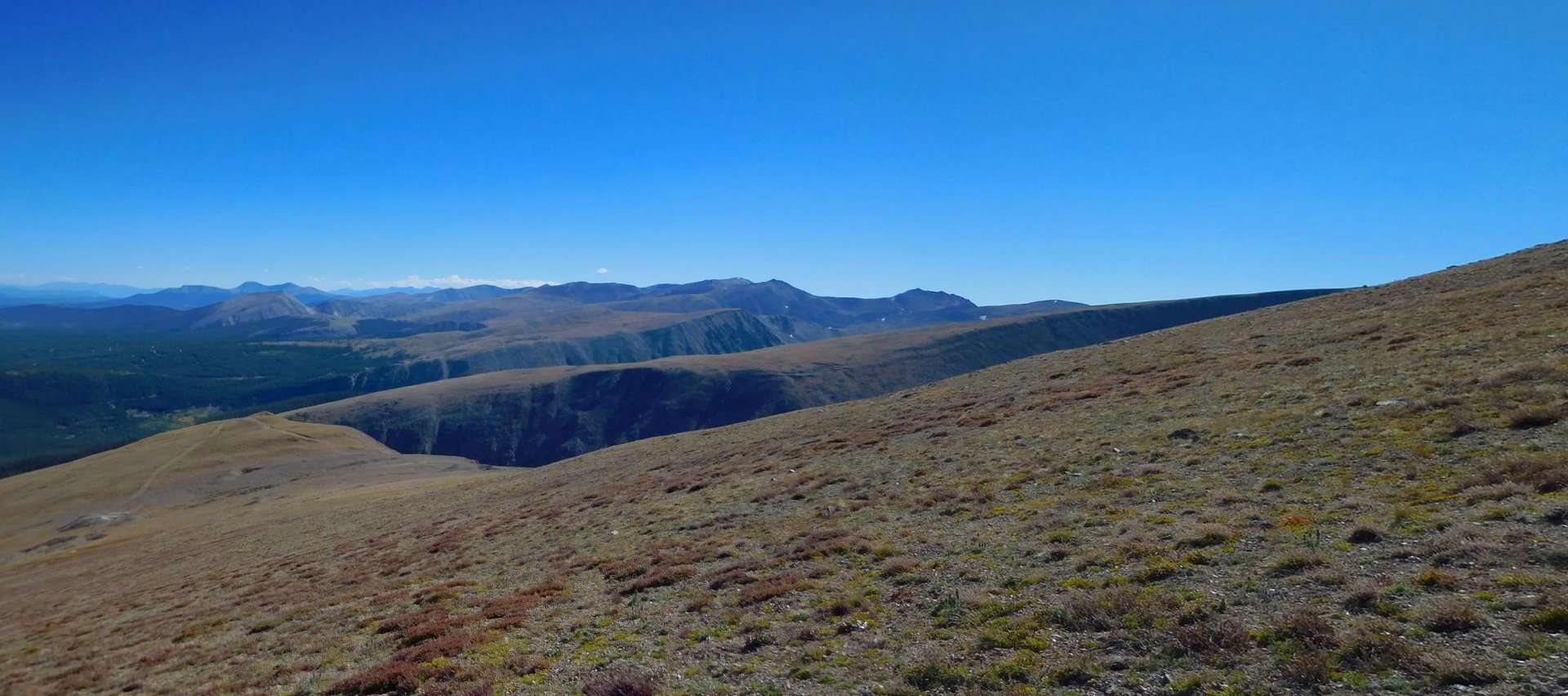
Here's a panorama looking south that I created in Photoshop (oh, Lordy I opened myself up now, haven't I) from two photos taken with a Nikon Coolpix.
Don't ask me which are the Buffalo Peaks and Sheep Mountain. Several of the claims have bearing ties to these mountains. One deputy was a bit of a character and called out bearings to Mount Sheep (I wasn't sure about his usage being a noun or a verb in the field notes).
The panorama was taken a little higher up at Cor. No. 1 of the Silent Friend Lode (MS 20504) at 13,177. Don't nobody ask why some previous surveyor had the urge to pee on the stone with a two-bit pipe!! 🙁
Beautiful stone and a great feeling when we find them. Thanks for the photos.
Sent from my SM-G925V using Tapatalk
That's only 2/3 of the way up! I love that area. Got a real appreciation for how easy it is toting around modern gear when I climbed up to the saddle between democrat and lincoln and saw that old hand dug shaft entrance.
Scurried down the side of bross a few times, one time ran over mosquito pass from Leadville down into Alma. Earned 7 or 8 Sierra Nevadas for that effort.
Kent McMillan, post: 390721, member: 3 wrote: Is the idea that the corpulent surveyors have an easier time surveying these stones? Hard to imagine that spelling makes that much difference. :>
Kent,
I blame all misspellings solely on anoxia. I invariably get stupid when I'm at that elevation all day.
paden cash, post: 390713, member: 20 wrote: Thanks for the photos Gene. I spent some of my childhood in Buena Vista and got very familiar with the local peaks. One of my favs was the Buffalo Peaks, probably 20 miles almost due south of where you were at. I can't say as I can remember what Buffalo Peaks looked like from the Alma/ Fairplay side...Something might be in the way (Sherman?).
Beautiful country any way you look at it. You can see forever when you get to some of the tops.
I was at Buena Vista about 3 months ago. It's very beautiful country.
Dang it, Kent. I was gonna give Ol' Gene a pass on his spelling of corpulent. He hasn't posted near as much of late as he used to could (and would).
Those of us in Flatlandia get nose bleeds just looking at such photos.
Nice photos Gene. I always enjoy your postings. Headed to higher elevations tomorrow myself in southwest South Dakota.
here's a look down the other side of bross. that lake is at 11,000'. not sure why i stopped to take this picture, i was in a bit of a hurry to get down as the metal eyelets on my boots were doing a little dance with the rain clouds overhead.
and here's a younger, healthier version of me on lincoln, right about the time the weather started getting weird. still one of my favorite days ever.

Driving off road - you could probably get a ticket for doing that around there you know..
flyin solo, post: 390769, member: 8089 wrote: here's a look down the other side of bross. that lake is at 11,000'. not sure why i stopped to take this picture, i was in a bit of a hurry to get down as the metal eyelets on my boots were doing a little dance with the rain clouds overhead.
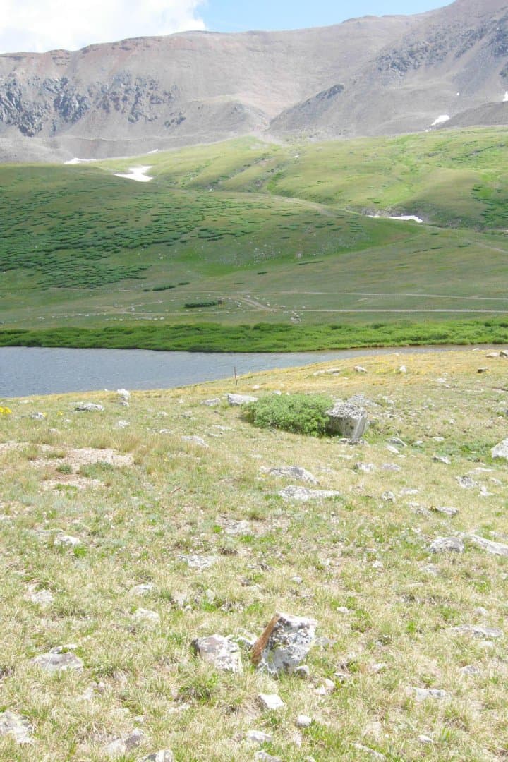
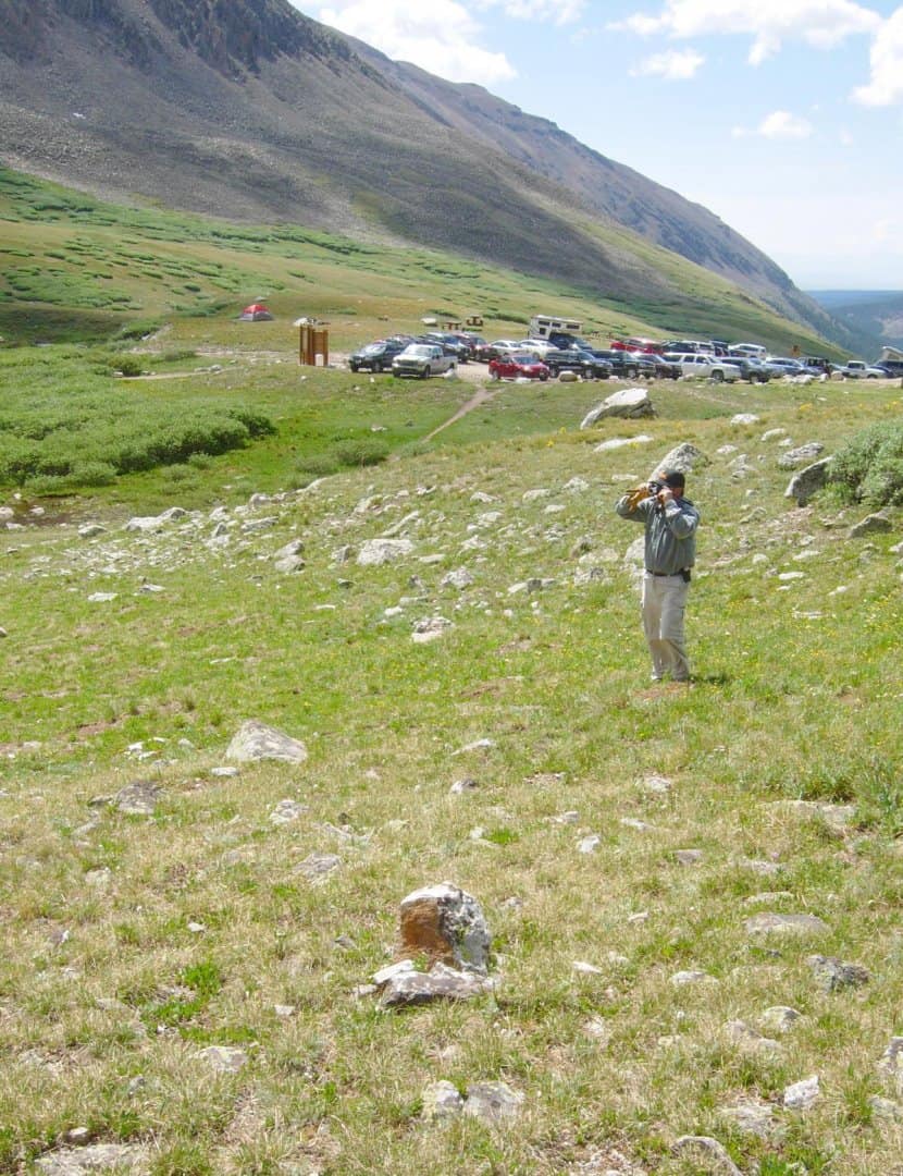
The lake mentioned is Kite Lake and it has a parking lot for the trail head up Mt. Democrat, Cameron, Lincoln and Bross, all 14'teeners that can be bagged by young legs in a single day. Kite Lake is actually at 12,000 ft. There is a patented mill site that straddles the lake at its outflow. A couple of years ago the owner asked if I could locate the claim as he believed the USFS parking lot encroached on his property.
Here's a photo of Cor. No. 4 of the Ora King Mill Site with Mt. Democrat in the background (looking NW).
Same Corner looking to the NE at where flyin solo took his photo on Mt. Bross.
And looking down valley (SE) showing the parking lot and Mt. Bross' scree slope.
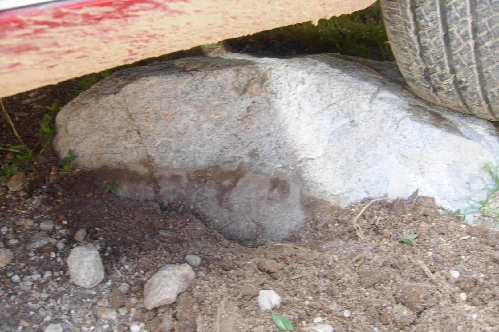
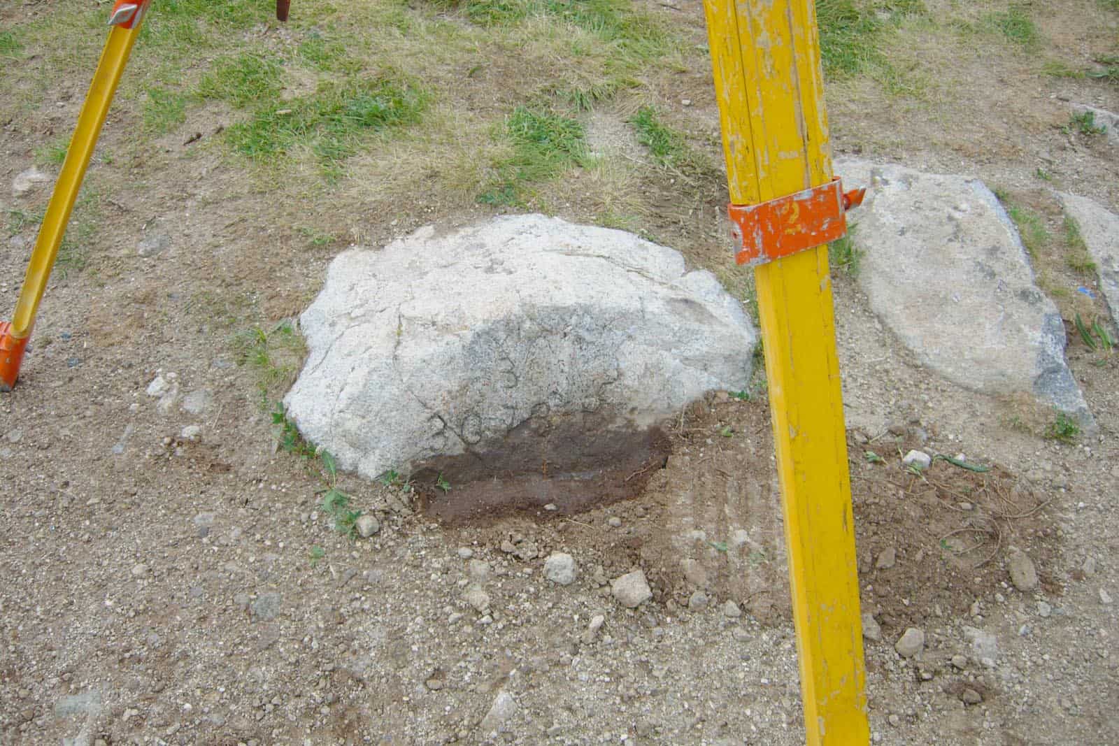
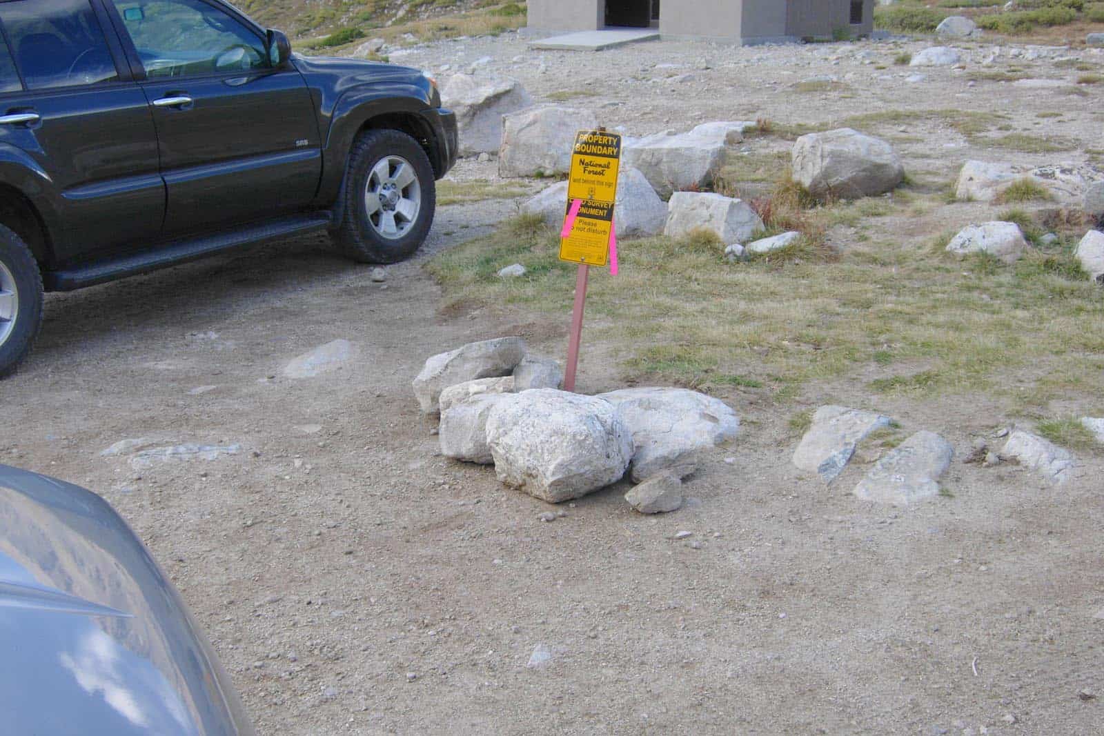
And of course my client's notion was correct. Here is a rock in the parking lot with a car parked on top of it that is chiseled 3 - 3073 B. My client was impressed that I found it.
We had to wait for the hiker from New York to return so I could occupy it.
My client got the BLM to go up and set posts at all four corners of the 5 acre mill site. 🙂
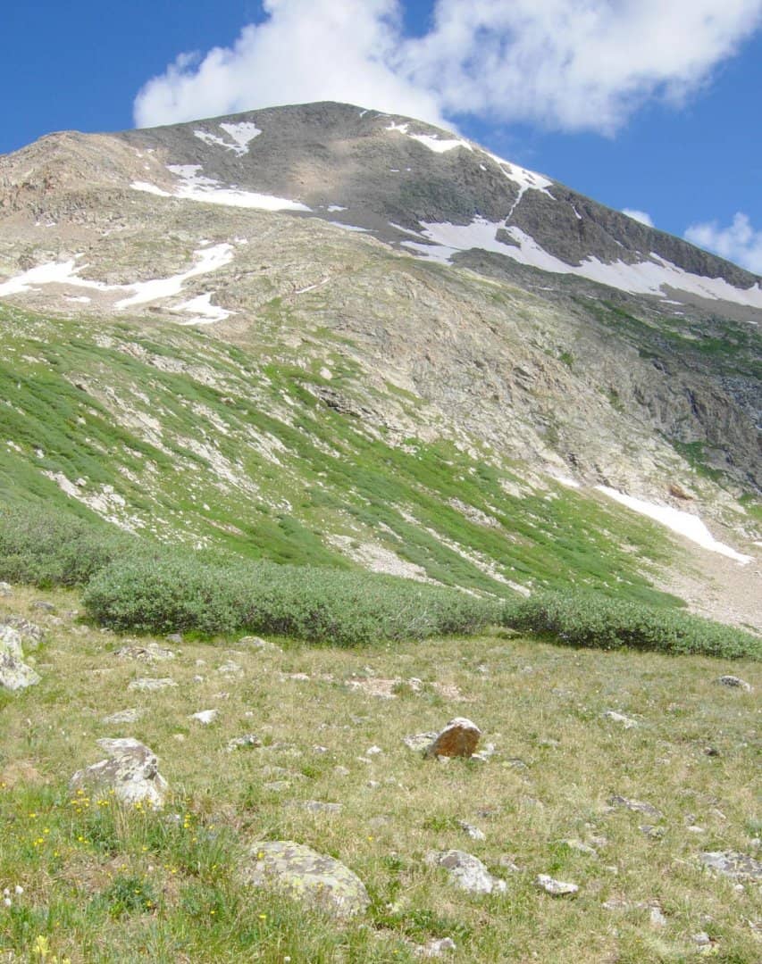
One might notice a complete absence of trees. Apparently they need oxygen to survive.
