Jim
No one denies the fact that subdivisions are simultaneous creations, however, the status assigned to roads is different than that of private parcels. Any land, created by a subdivision, that assigns a right of "public" to a parcel, is automatically elevated to the "no proportion" status such as roads, streets, alleys, parks, commons areas, et cetera.
:good:
spledeus
I'm the other way. I may be (may) inclined to accept some form of proration that maintains the streets integrity as opposed to simply holding the corner, i.e., proration cannot generate angle points up and down the street. This is truly one of those cases where, even if you had the original block corner, and it was set wrong, if it ganks up the street and all other monumentation is in conformance with the street platted r o w, then you may have to set a new corner.
Kris
Do you have any evidence to support this concept other than "that's the way we always do it?" I've been searching for 30+ years for something...
Kris
I'm pretty sure this thread has already provided the evidence that you're looking for. Public tracts have different status. You seem to be laboring under the delusion that your thoughts on this are infallible. That is not the case for you on this, nor is the case for me on certain things. JBS and others have provided you the status change. It's not a "we always do it this way" as much as it is a "this is the way it should be done".
Indeed it does! Followed by "...the actual lines run by the original surveyor at the time of making the plat are presumed to control street lines irrespective of whether or not the courses, distances, and street improvements agree with the plat."
(Irrespective: without regard to something else) ie., the plat
If the original surveyor's chain/tape was short, the retracement surveyor's chain/tape better be also. I see no other way to interpret this...
Kris
"Public tracts have different status."
No Kris, they don't - not when they created on a subdivision plat.
"When a plat that purports to dedicate right-of-way to the public is shown on a subdivision map, it is only one of the many parcels of land that is created equal. At the very instant in time that the plat is recorded, the title passes to the city or county. This is not a senior conveyance, merely the first parcel that changes ownership, with equal standing" - Arizona Surveying and Boundary Law, Platt
If it is not a senior conveyance it does not have senior standing. There are myriads of court decisions supporting this. I am not laboring under any delusion, nor am I the only person that interprets things as they are written.
Jim
Skelton says you're wrong.


Jim
Perhaps - I presume you are referring to $218(2). I will attempt to get a copy of the case he cites there.
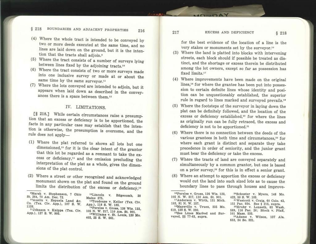
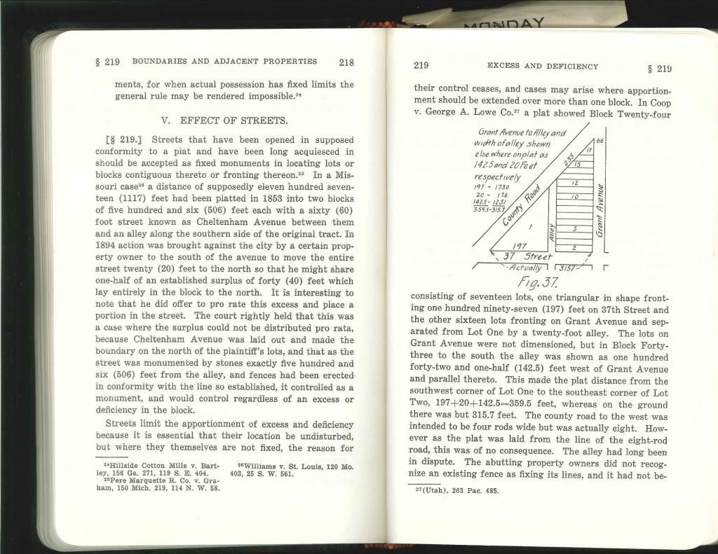
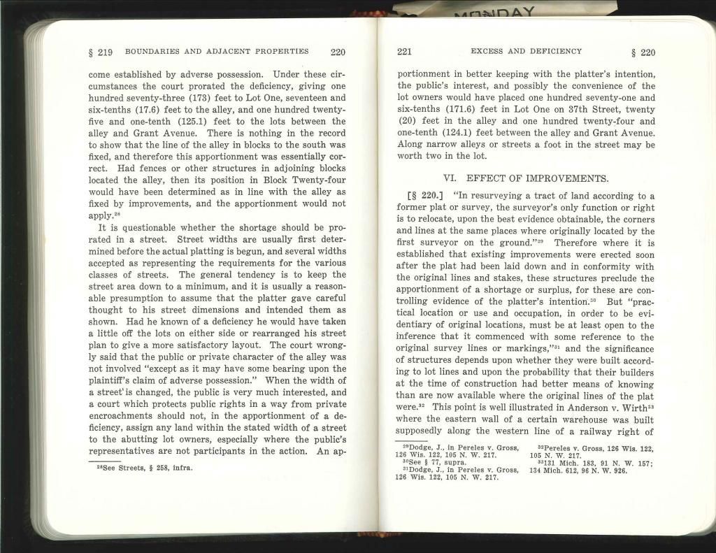
However, in $219 he states that "cases may arise where apportionment should be extended over more than one block." He also cites a case where the court did in fact prorate an alley.
I think that this issue is one of the grayest in our profession. I hope that I can dig up the case Skelton cites to see exactly what the issue was and exactly what the court said. If I do I will post it.
Jim
Check out using {Alt}+0167 to make a §
I have a problem with prorating across the street at all, whether you hold the distance for the street, or if you prorate the distance across the street in your proration. Look at the example from above:

I hope that worked. Anyway, in the example they found two monuments on the south side of "Oak Drive", and one on each side of "Third Street". We are holding those two points for "line" and prorating in the block corners across Third Street.
What if someone was setting monuments on the Third Street frontage? Would you go up and down Third Street and find monuments and prorate across "Oak Drive" to place those same corners? What if they landed in a different location than your other solution? I suspect that 99.9% of the time the two solutions won't match.
Now what would happen if you located the monuments that bordered Oak, and the monuments that border Third and intersected the straight lines? Wouldn't you maintain the existing width of the streets and have only one position for the block corner?
Then you could proportion between block corners, and stay out of the street.
Maybe there are wild situations that require you to put in the street corners by proportioning across them, but that seems nonconsistant and problematic to me.
I say each case might require different solutions because of different circumstances. You need to try to replicate how the streets and blocks were originally laid out...follow in the footsteps of the original surveyor.
Jim
:good:
Seattle is covered with plats that have variable right-of-ways, mostly on the exteriors.
Here is how that happens:
Someone buys a 1/4 1/4 and plats it. They declare the initial point as whatever PLSS subdivision is handy, call the section line, and off we go with the transit and chain, turning 90s and chaining even feet. You get to the exteriors on the opposite two sides of the square and leave the excess. Voila, "variable right of way." And on the plat it is labeled a nice even 25' or 30' or 33' or whatever. And somewhere mid-block it probably is!
There are also plats like this that overlap two or more sections that have plat mons alternating with PLSS subdivision mons. So you wind up with two monument lines that you may have to go blocks away to get a good picture of.
Other times the excess is in the last lot of the block, the nice number to hundredths on the plat is not exact, it is a clue that their intent was to put the excess in the last block.
Where it gets interesting is when someone stakes an 1899 lot in 1970 and applies even rights-of-way and then stuff gets built to it. Now it's been there 30-40 years and we are the first to survey there for a while. How did all this stuff get built like this? I am looking at one this week that has 4 possible interpretations spread over 3 feet in northings and 2 feet in eastings, fences built to one, houses built to another, monuments match another, and then those found tack-in-leads in the sidewalk.
There are plenty of newer plats where the king gets his exact modern distance and the remainder is prorated in the blocks.
The basis of the whole "king owning streets in an independent America" comes down to the uneasy coexistence of common law and civil/commercial law. It is far too complicated for a forum post. It would challenge your fundamental beliefs. It delves into politics and religion in ways such that very few people are capable of suspending their belief or disbelief for long enough to discuss. Most people dismiss the ideas as "just crazy and not what I was taught in school." But given a copy of Blacks' Law Dictionary and a few foundational documents, you can begin to see the underlying infrastructure of society.
Land rights are covered by the common law, "real estate" is covered by commercial law. Surveyors exist on the edge between the two. The Civil law is bound by its own rules to respect the Common law. But it does not have to inform you of your common law rights. Surveyors are licensed by the state under civil law, yet historically surveyors have been the repository of the common law side of land law. (Of which our late friend Mr Schaut was often reminding us -- he was a little antagonistic towards the civil law part.)
Jim
Kris:
Here is another example from the book "Land Surveying Law" by John Keen pertaining to prorating involving streets, alleys, or other public ways. This is from a Seminar he presented in Tucson in 2001 in one of his Land Surveyor Workshops.
The underlining in red was by me.


All of this discussion reminds me of how the ROW markers were set along the freeways and seems to be the case where the monuments are ignored and the exact ROW distance should be held?
Need to read a legitimate court case that says that.
Keith
Seems to me to be the wrong argument anyway: The city spent a lot of time reminding the court that you cannot adversely possess a road against the government.
It is not adverse possession, just the fact of holding the boundary to the monuments.
"last lot" instead of "last block" above. Although sometimes it is the last block, in the last tier of lots.
Well sure, they don't know about monuments, they know about deeds aka contracts, but that didn't stop them from billing the public a bunch to pursue a claim on their behalf.
Jim
Leonard:
That's not another example, its the same one cited earlier by Brown.
"When a plat that purports to dedicate right-of-way to the public is shown on a subdivision map, it is only one of the many parcels of land that is created equal. At the very instant in time that the plat is recorded, the title passes to the city or county. This is not a senior conveyance, merely the first parcel that changes ownership, with equal standing" - Arizona Surveying and Boundary Law, Platt
Equal: Alike, uniform, on the same plane or level
Bold added by me.
Jim
Thanks


