We're required to take lots of pictures of every survey we perform in order to aid the CAD techs. Our field tablet has cameras, however we use a pocket camera. I've thought about persuading the field crew supervisor into using the field tablet instead. It makes sense to me to attach a picture to a point. Since our total station doesn't take pictures, I could walk the job with the field tablet and use the map view to identify point names to attach pictures to. The pocket camera download software assigns names to each picture. I would have to edit those names to reference them to the point names. That would be a lot of work. How do you take and organize your pictures?
Field Dog, post: 448816, member: 9186 wrote: We're required to take lots of pictures of every survey we perform in order to aid the CAD techs. Our field tablet has cameras, however we use a pocket camera. I've thought about persuading the field crew supervisor into using the field tablet instead. It makes sense to me to attach a picture to a point. Since our total station doesn't take pictures, I could walk the job with the field tablet and use the map view to identify point names to attach pictures to. The pocket camera download software assigns names to each picture. I would have to edit those names to reference them to the point names. That would be a lot of work. How do you take and organize your pictures?
Google Photos- We use google business apps for our email/calendar/drive/google sites...just about everything... I have the guys take pictures on the company phones and create an album for each job. Has worked out well and it doesn't chew up any hard drive space on our computers unless we download them.
We'll start to use the smartphones too (Open Camera for Android and standard Iphone app for the Apples). Location and orientation are stored in the pictures, can be extracted to place orientated photo blocks with hyperlink in our CAD.
Christof.
on my phone, the pictures get copied to a file with the job number on the server.
Smart Tools app "Compass"
I'll second Smart Tools.
I have a Samsung Note phone with a stylus (S Pen)
That's brilliant to draw precisely on photos if needed.
The images can also have geo references embedded.
Theodolite app by Hunter Research. Lots of overlay info, wifi upload, EXIF meta data, lots of meta data.
The email image output is really rich.
Example:
Date & Time: Fri Sep 29 18:36:22 EDT 2017
Position: +039?ø40'55.5" / -077?ø41'33.2"
Altitude: 193m
Datum: WGS-84
Azimuth/Bearing: 286?ø N74W 5084mils (True)
Elevation Angle: +37.9?ø
Horizon Angle: -02.4?ø
Zoom: 1X
Note: The sharing URLs and attached KML file use WGS-84 coordinates for proper compatibility.
To open this location in Theodolite on iOS, tap here.
And of course the image:
Pricey: $9.99.
Cell phone images with geotagging info pulled into global mapper as picture points.
I have PhotoMap Pro. An Android application on my tablet.
Geo images open alongside a map showing their location on Google maps.
You can georeference the images directly off the map if they don't carry such information.
Its a neat way to browse photos simultaneously with aerial image.
Thanks all for your suggestions!
[USER=833]@Richard[/USER]
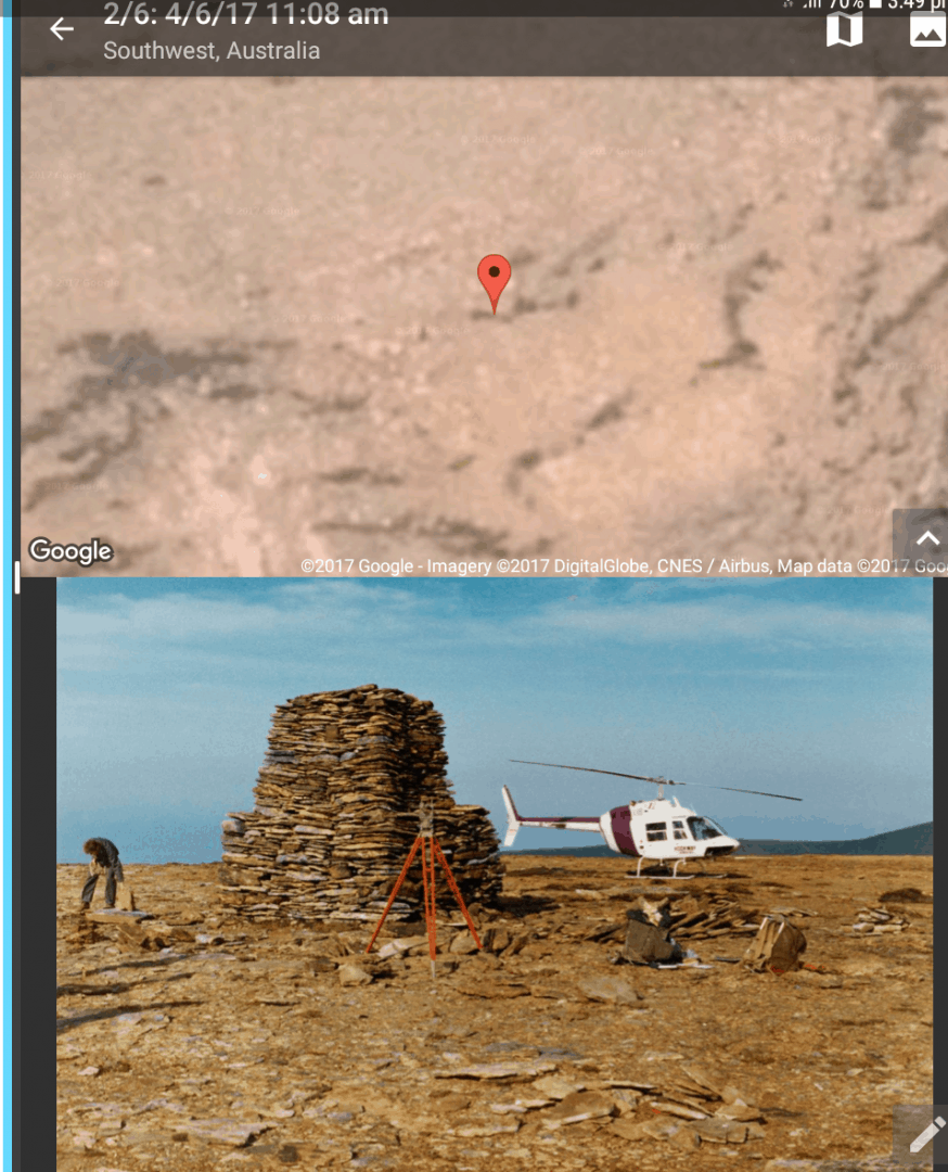
There's something I want to question about that stone pile and where the true corner is but I guess I had better wait until tomorrow after the jail cell doors have been opened. Not supposed to rile those in solitary while they are still in the clink.
That's right, especially on daylight saving changeover. Losing an hours sleep isn't good for many things.
Much appreciate your consideration.
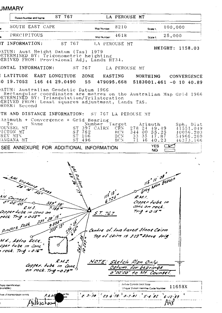
Actually it's the ancient Trig used in control in our southwest.
I take my hat off to those early surveyors. That was seriously hard yakka getting there in those days.
Here's the sketch and other related matters
We use Trimble S6 and S7 instruments that will take photos, and also Trimble TSC 3 with Access,that will assign the photo to the point.
When I was in the field, I would take a photo using the data collector, on anything I thought may add questions for the office.
At the end of each set up, I would have the S6, do a 360 photo panorama.
I've used 360 cameras in the past (I shared this story on the drone thread as well). The crews would take some 360 panoramas on the site with the camera attached to the rod. They'd take a shot at that point and call it "Pic4", or whatever number they were up to. Then, the image could be linked in CAD and a resulting PDF exhibit. The client could click on the link in the PDF and then see the 360 image and pan around it to see the site. It worked well for drafting the topography as well as impressing the client.
christ lambrecht, post: 448825, member: 284 wrote: We'll start to use the smartphones too (Open Camera for Android and standard Iphone app for the Apples). Location and orientation are stored in the pictures, can be extracted to place orientated photo blocks with hyperlink in our CAD.
Christof.
Very interested how you create the orientated photo blocks.
I have managed to put the photos into google earth but I could never get the orientation (eg an arrow), just the location.


