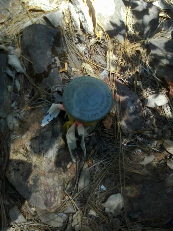
This is at Mount Zion Demonstration State Forest (near Pine Grove on Route 88 east of Jackson) which is a total of nominally 164 acres. This is the east 1/16 corner of Section 9, T6N, R12E, MDM in Amador County.
BLM cap stamped for corner 1970:
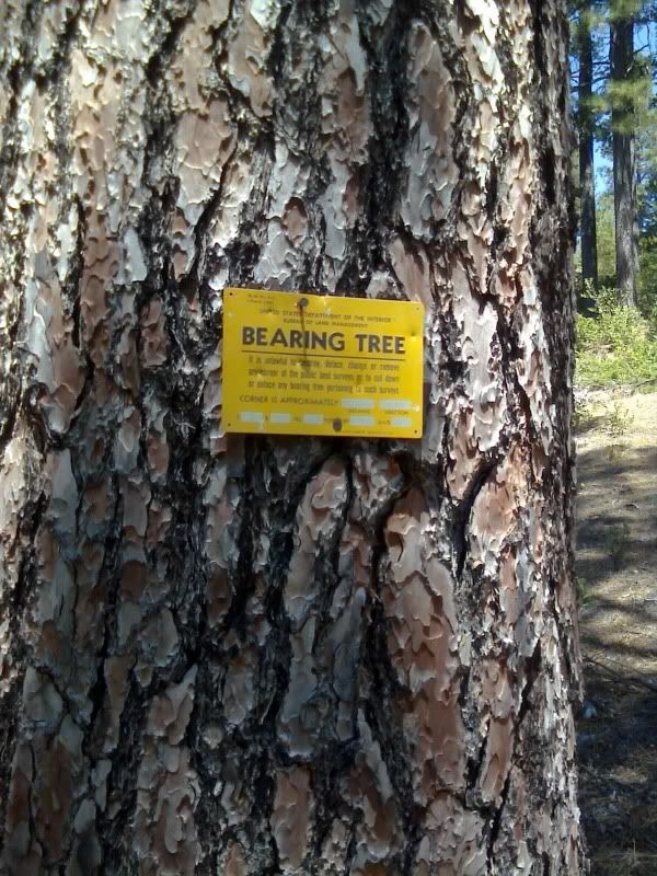
BLM bearing tree tag November 1970:
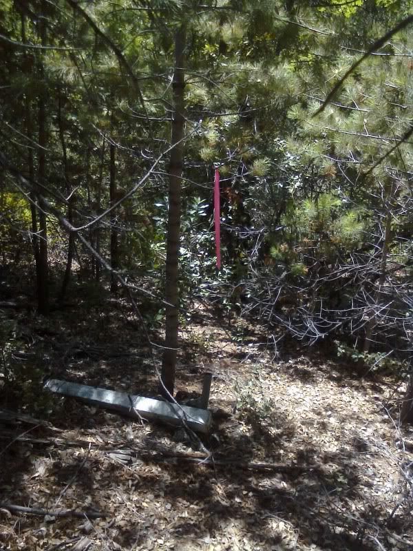
1 1/2" iron pipe shown as found on our 1959 (but found before that as early as 1951) Record of Survey. This pipe is 25'± west of the BLM cap towards some public domain land (never patented):
I need to visit the County Surveyor and see what they know but it is unlikely we will argue with BLM. I also need to get the BLM notes because there might be other caps lurking out there. It's likely the pipe was set by the County Surveyor (they did a lot of Surveying up until the 1960s; you will find maps where the Surveyor and County Surveyor signing are the same person).
As we talked about the other day, the Amador County Surveyor's office was not all that consistent in their own work. On one survey, they might hold a monument and the next year, they might call it into question depending on what part of the section they were working in. Not necessarily anything wrong with that, I guess. In my opinion a monument might hold for a 1/16 corner in one area, but you can't necessarily extrapolate that to other portions of the same section.
Maybe Keith can comment on this little discrepancy between old found monuments and BLM resurveys.
There's a couple of other 1/16th corners but they have Division of Forestry caps and a Section corner with a LS2603 plate riveted on the side. I didn't notice BLM caps at those but I need to get the notes to find out what BLM did.
I'm speculating they pincushioned that particular pipe because it has no cap but I don't know for sure until I get the notes to see if maybe there are other BLM caps out there that I didn't notice yet.
Steve
I can imagine they'd have discrepancies chaining through the manzanita around that place. Steep, manzanita covered hills.
We were driving on the road to the property and there is a solid wall of manzanita on either side. I'm thinking, oh spit, its going to be hard to walk to the corners let alone survey them.
But we show up and our property is actually fairly cleared with a trail all around the boundary and a lot of clearing 50' wide in the boundary areas. It's like a Surveyor's dream, most of the line clearing is already done (probably by inmate crews) except a few small areas.
There's a lookout tower on top of Mt. Zion with a USGS tri station centered under it (yes USGS but it has an NGS PID). There's also a Division of Highways tri station nearby. There's another tower with telecommunications on it.
This forest is open to the public. Go to Pine Grove on Highway 88, just a little east of town turn south on Mt. Zion Road. Go to the parking area. A short hike brings some pretty nice views. You can keep going about 3/4 mile to a very cleared spur but that's private property. There are no fees.
Steve
There is not much for me to comment on here, lots of information yet to be determined.
Keith
Premature Conjuncture
Instead of posting an accusation of the BLM "pin-cushioning" you the perfect surveyor by 25 feet (never seen a pin cushion that big) without even the basic research of reading the BLM's survey record, I think you are premature of pointing blame anywhere. I don't suppose you could have missed some evidence, mis-interpreted some evidence, or accepted some monument without a legacy of perpetuation of the original corner position could you?
Dave, why don't you read and evaluate the BLM survey record, and formulate a protest if you think the BLM errored. If the BLM State director denies your protest and you still feel correct, go convince the IBLA of your position. Maybe that is a bit more work for you than taking an uneducated potshot at BLM on a chat board, but if you think BLM has an incorrect survey, that is the due process.
I look forward to your rational protest of the BLM's survey and record based on facts rather than some initial personal emotion and sensationalism that BLM has differed in opinion in the location of a boundary with your position.
Edit: In re-reading your post which is pretty devoid of facts like Keith said, it might be the case that you are trying to relay that BLM's survey was done in 1970, not recently, and you are now saying the agency you work for is just discovering the difference in surveys? You and your agency are going to have a very hard row trying to claim that an official federal survey done by BLM and filed in the public record for 40 years is suddenly "rocking the boat" with the boundaries in contention. Sounds like you are a little late to the party for any protest and subsequent appeal. Get us the facts.
...? Where is that Dave?
dla
there is a surveyor here would feel more than comfortable, obligated as it were through some delusional self-appointed authority, to remove any & all offensive monuments...
Whining Babies
Sorry, but you "BLM is perfect" folks are really over the top. Seems to me you don't like someone shining a light on a possible error.. Get a grip, mistakes are made, and found all the time. Let's assume that Dave's assessment IS correct (since he is there). It sure looks like in 1970, someone from the BLM ignored the pipe that had been there and known since at least the 1950's and set a "brand new shiny monument". That is the textbook definition of a "pin cushion corner".
Andy
Many pincushions... set by BLM or others tend to occur through poor research or corner search. I know of one case here in Oregon where BLM didn't even bother to contact/visit the County Surveyor's office. The first county surveyor had re-established or perpetuated many original corners and the BLM ended up completely missing these corners because they didn't have the correct record information.
Read their notes/plat and if it looks like they missed some record information a call may be in order. If they set their pipe for another reason... it is what it is.
Good luck and keep us posted.
Whining Babies
Go ahead and call names, and make generalizations.
Why don't we get the facts first before we blame anybody. I would think you would expect the same if someone cried pinchusion about your survey without even reviewing your survey record.
Can we see what the field notes say?
Then we can comment with a little understanding of what happened 40 years ago?
Keith
I know... set a new monument at the midpoint of the line connecting the pipe and BLM monument 😉
Good one Kevin! That's single-porportionment. (survey note: single-proportioned between the NW Cor. section 10 and the NW Cor. of same section 10. The two nearest aliquot corners)
Field notes...........please!
Can we wait for the facts before it gets silly?
Keith
Steve
Maybe this will be one of those junior corner monuments that was rejected? Not close enough to the senior line?
Keith
Field notes...........please!
Keith,
Have you no sense of humor?
Field notes...........please!
Matter of fact I do!
Keep us posted, Dave. I'll be interested to learn how this one turns out.
Field notes...........please!
oh...okay then... (he said meekly)
:-$


