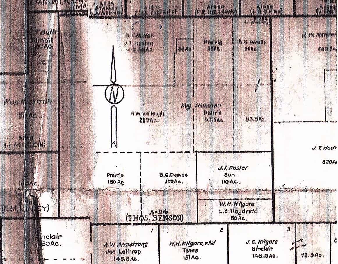
I am looking for a shape file that has information like this in it. Doesn't have to be totally current. I have the OTLS shape file and can often figure it out but my clients often send me areas where they want work performed highlighted on a map like this and I want to be able to load it into Arc and Trimble Business center and see what the topography, vegetation, etc is like. 
This works quite well with Google Earth.
It currently costs $50.00 per year.
Along with the RR Commission sites and the Texas GLO sites most everything you need is online.
It also includes townships and sections in PLSS states along with some localized information in California and Louisiana.
There are also some geodetic calculations programs you can use on the Earthpoint site.
SJ


