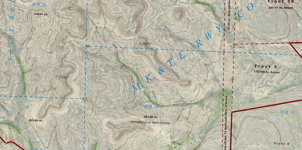
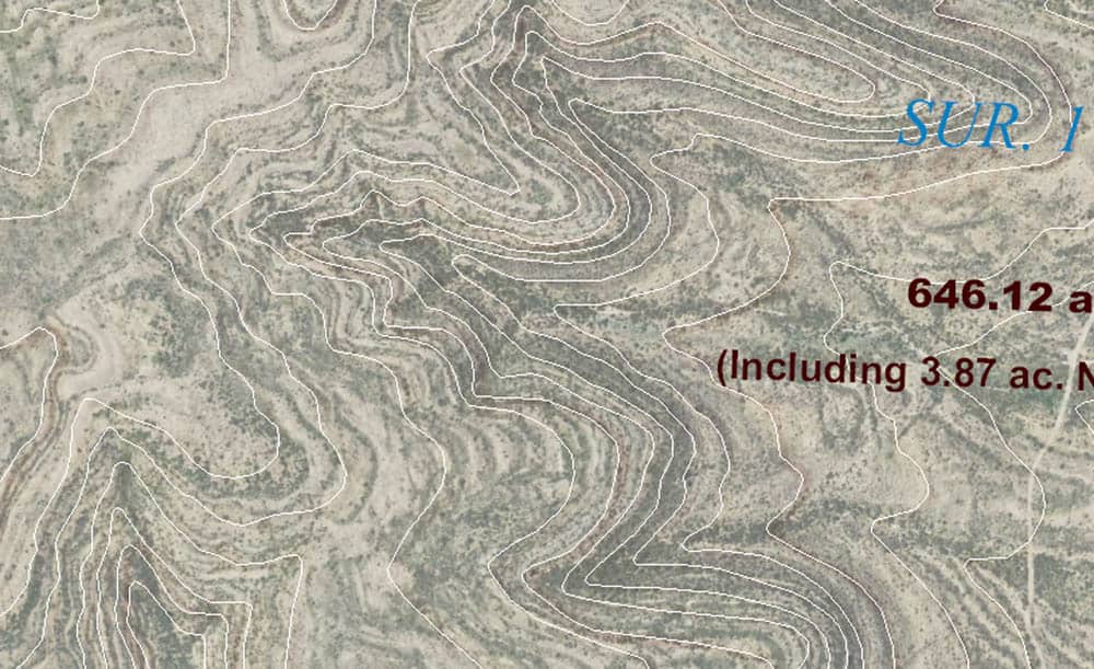
A client wanted a topographic map of the ranch he's assembled from various tracts, all of which I've surveyed over the years. Considering that the land use is as a hunting preserve, the map was mainly intended to show how to get around the ranch via the roads he's made and to give some idea of elevation differences for his water system, not as a map of the boundary surveys.
The USGS 7.5-minute quadrangle maps were decades out of date as far as showing features like the pasture roads and fences, but I thought that overlaying semi-transparent images of the USGS maps onto current aerial orthophotos, as seen in the detail below, made a fairly good exhibit. I'm sure I'll find out since I sent proofs of three different versions of the map with the same text and linework overlaid on just the USGS quad maps, just on current aerial orthophotos, as well as on the composite (which has the feature of adding some color to a landscape that is not so green in the aerials).
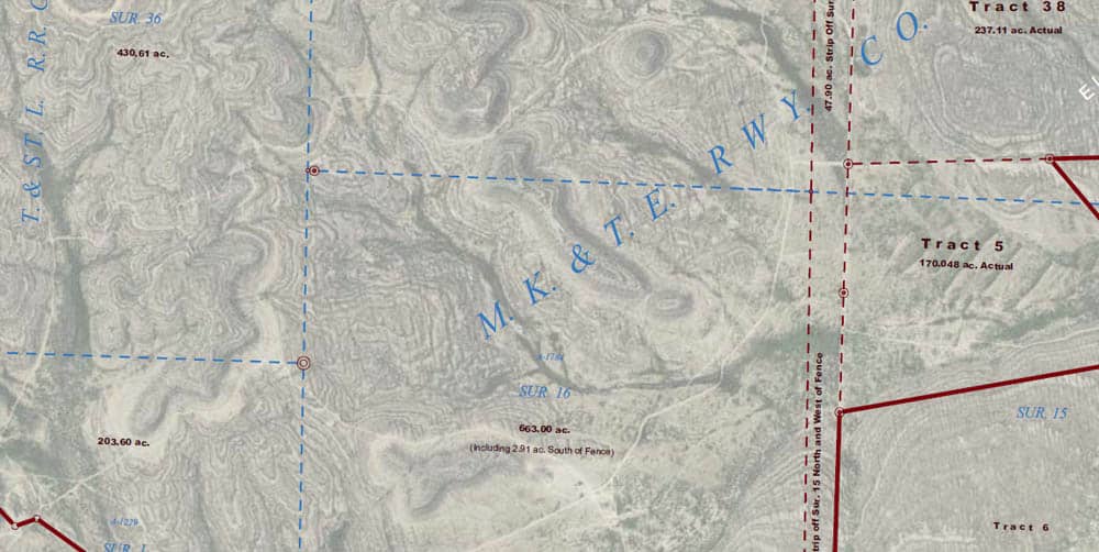
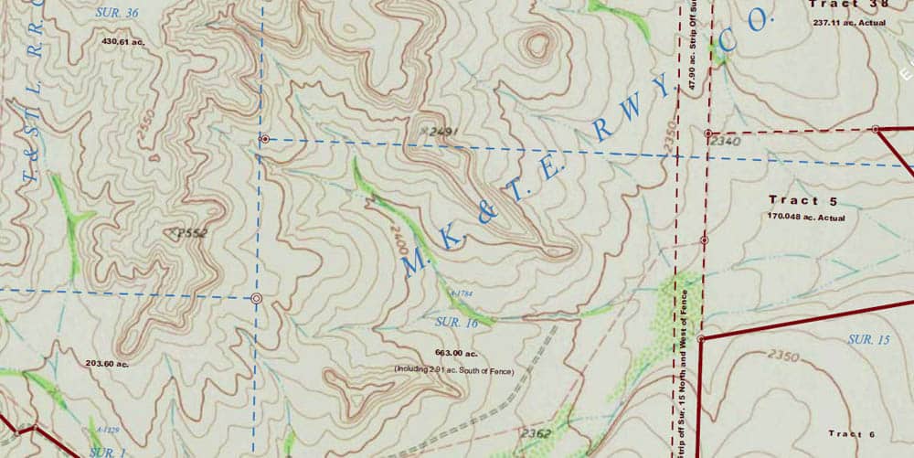
Kent McMillan, post: 421499, member: 3 wrote: Just for comparison, here are details of the other two versions with just the aerial and just the USGS map (greyed out a bit so that white linework and text is leglble):
Kent,
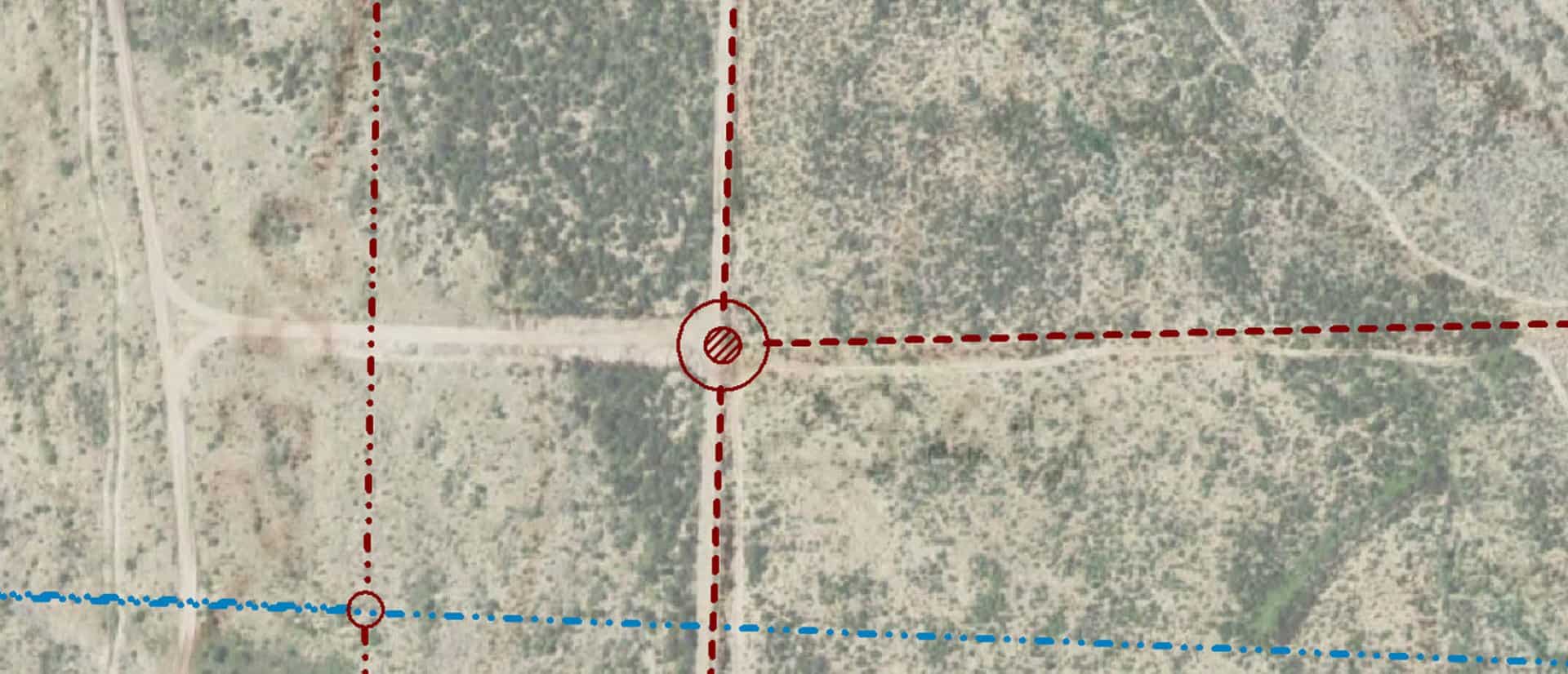
I am just guessing, but the short length of road to point # 2340 was created because of the corner there?
Jack Chiles, post: 421512, member: 24 wrote: I am just guessing, but the short length of road to point # 2340 was created because of the corner there?
Sort of. The ranch in its present form began with a purchase of about 2250 acres that had been cut out of a much larger holding when a very large ranch was sold off in the first part of the 20th century.
Over time, the 2250 acres has been augmented to about 4400 acres by buying relatively small tracts ranging in size between about 95 acres and 450 acres into which thousands of acres of the adjacent land had been subdivided as "hunting tracts" and the perimeter fences have been rearranged to enclose those additions to the ranch. That short road that you ask about ran to where a corner of where a pasture fence once was, but isn't any longer now that Tract 5 has been added.
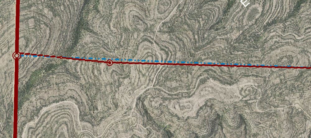
Here's a detail from the aerial:
You can download the topo lines with a shp file and overlay those on the aerial through. https://viewer.nationalmap.gov/basic/
Or at the same website you can download quads with the aerial already behind it as a PDF. You can turn off the topo background and turn on the aerial background. It will then put the topo lines right on the aerial photo.
here's an example.
John Giles, post: 421528, member: 57 wrote: You can download the topo lines with a shp file and overlay those on the aerial through. https://viewer.nationalmap.gov/basic/ .
Yes, I tried getting the stratmap contours to behave in Global Mapper, but the labels weren't as neat as I'd like. The other element is that the land of the ranch is unusual in that the contours are actually visible in the exposed limestone strata and the stratmap contours didn't look all that great compared to the strata.
Did you or the client drive around with a gps or even a gps app on the phone to record the roads?
Seb, post: 421535, member: 7509 wrote: Did you or the client drive around with a gps or even a gps app on the phone to record the roads?
I had surveyed some of the roads that appear in the aerial orthophotos and quite a number of other features such as fences. The roads actually show up well in the aerial orthophotos from last year and my estimate is that they probably have sub-foot horizontal accuracy, an amazing accomplishment considering the remote location. The linework from my on-the-ground surveys dropped essentially right onto the features mapped as they appear in the photos.
BTW the lineations with a NNW direction that appear in the above photo are probably the result of regional uplift forces acting on the layers of limestone laid down in the lower Cretaceous period (roughly 100 million years before present era). That would predate the Dairy King in Sanderson and probably even the G.H. & S. A. Rwy. Company.
