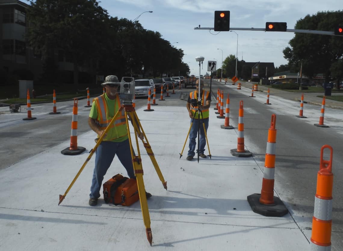
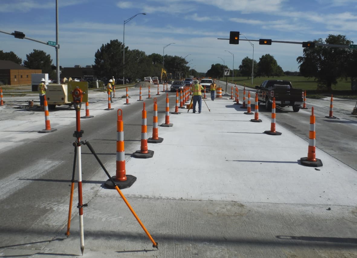
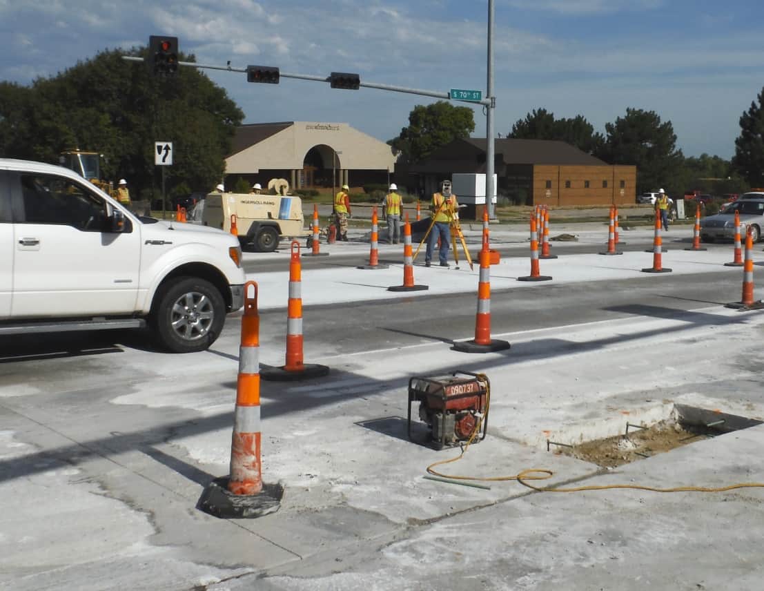
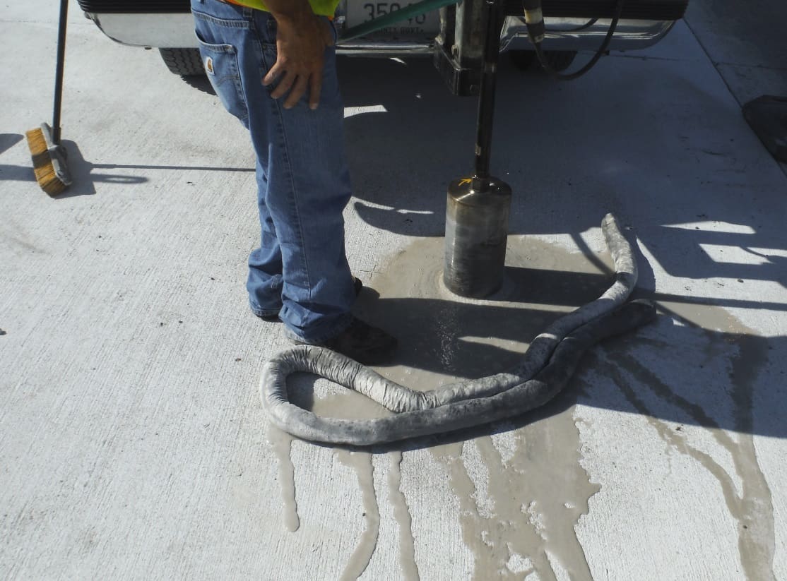
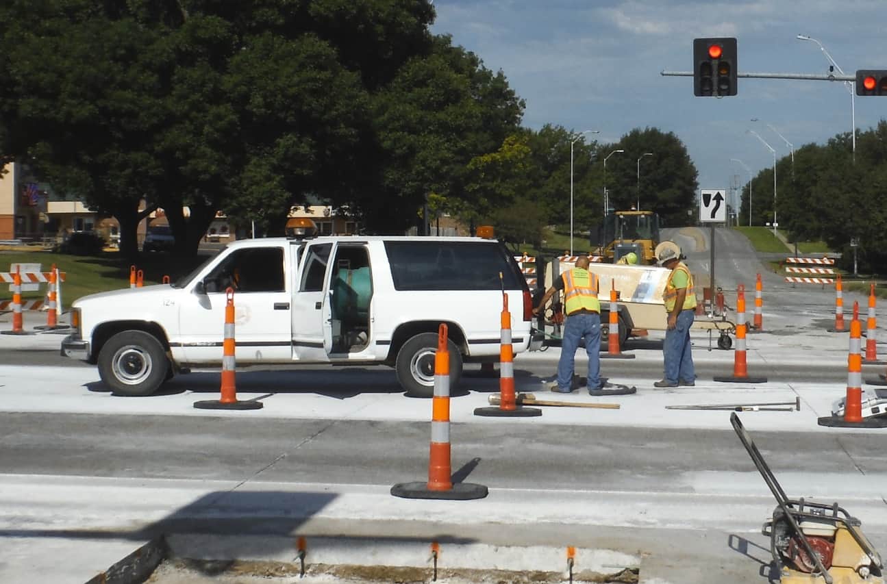
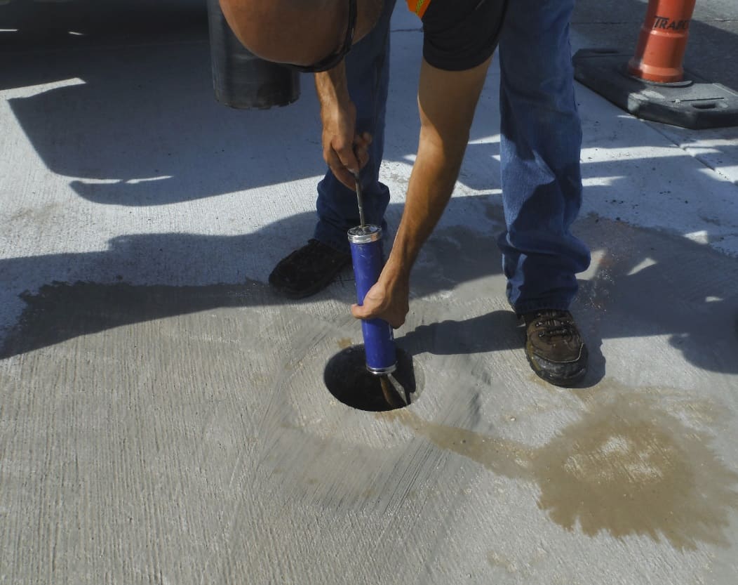
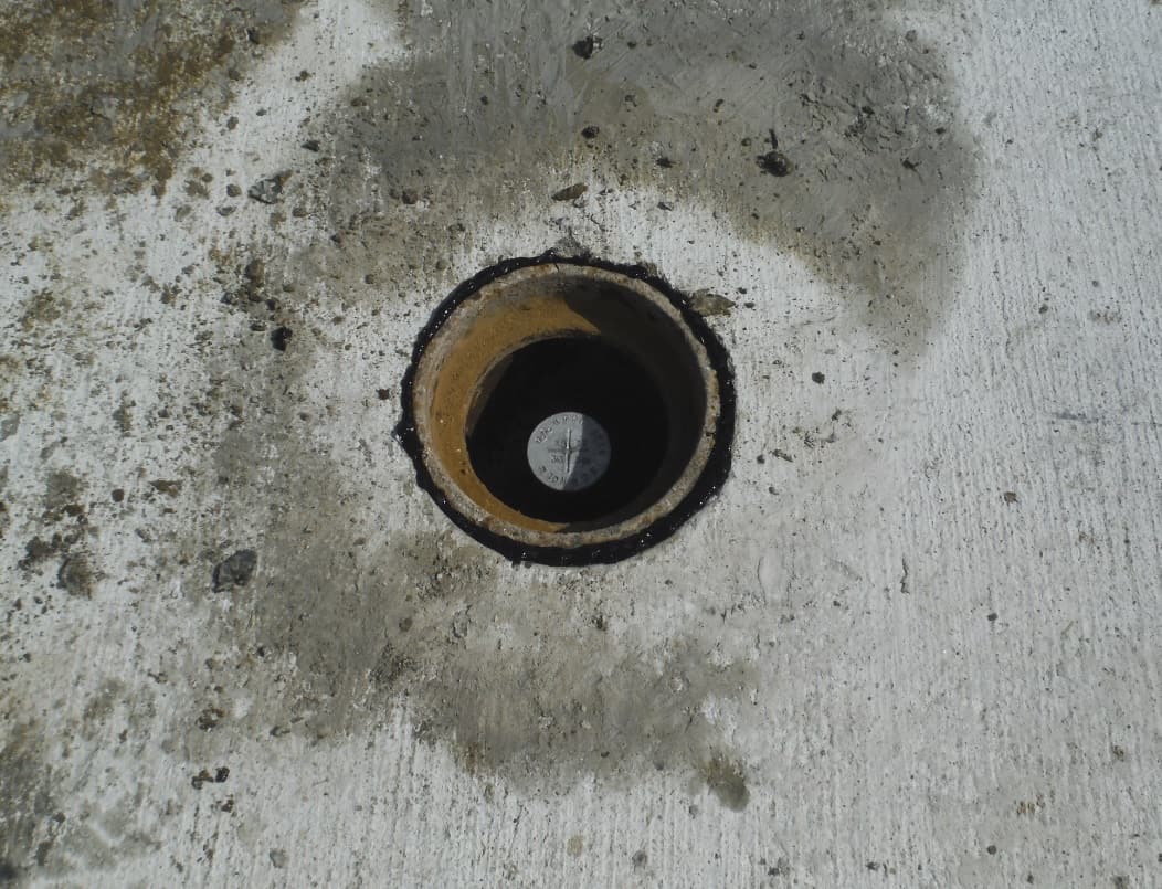
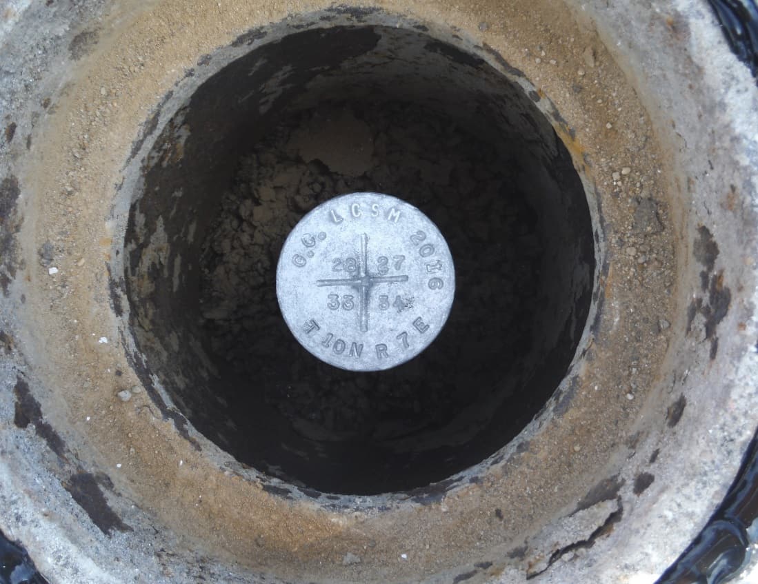
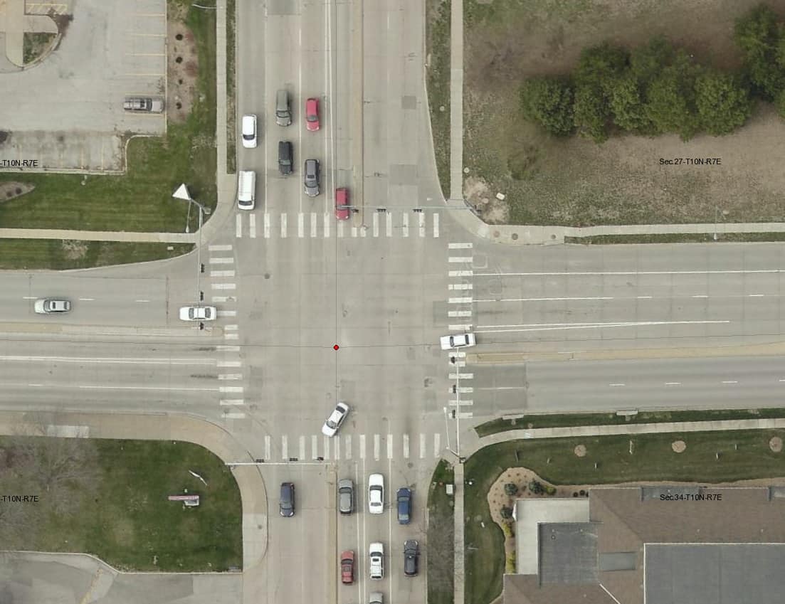
My county includes the City of Lincoln which has a population of just under 300,000. We have 100% of the section corners monumented within the city, but keeping up with construction requires a lot of coordination with city inspectors and contractors to replace section corners. Often we just have a small window of opportunity to get them back in or risk having to face going out under full traffic. In this case, the contractor was replacing the intersection in lanes, so we were able to get out there with their cones in place. Within a few hours of these photos, the cones will be gone.
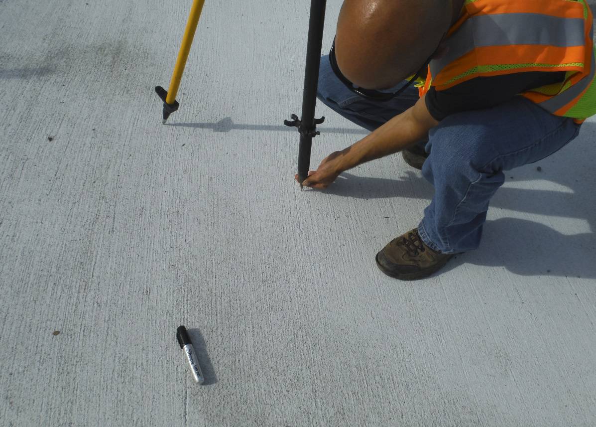
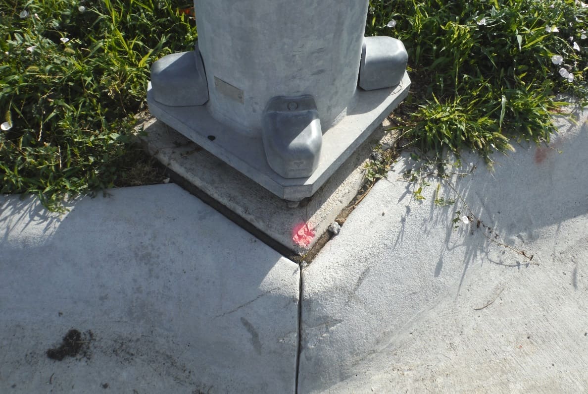
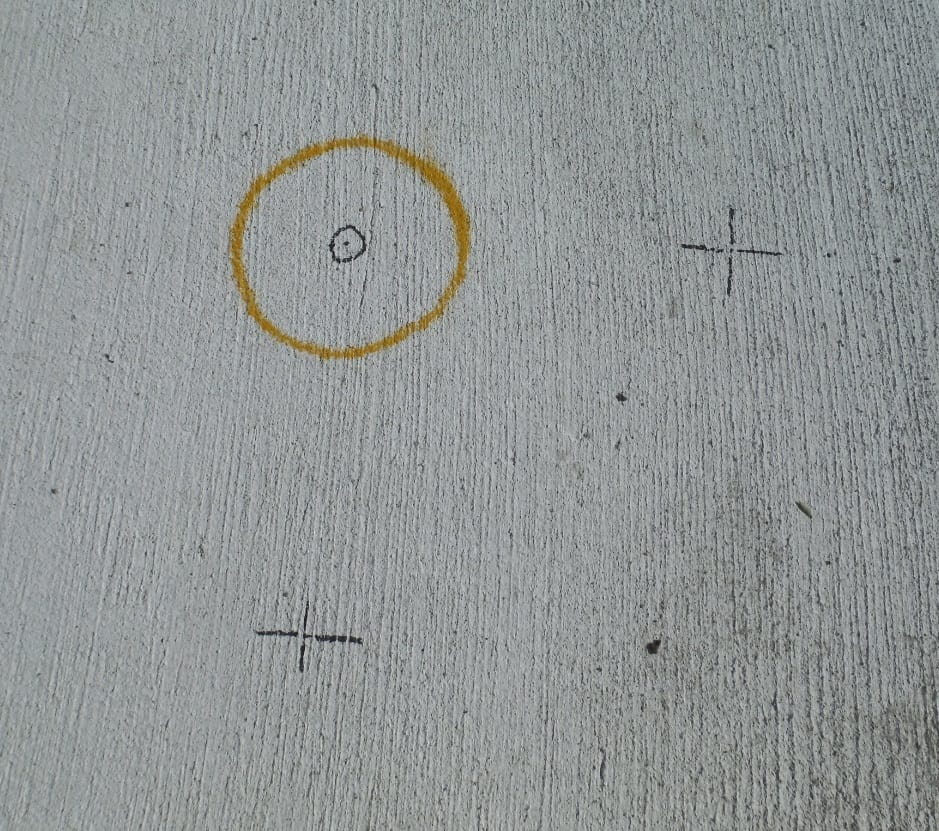
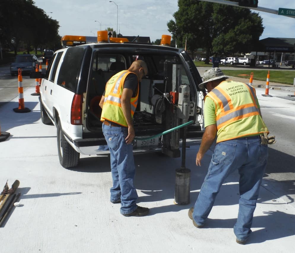
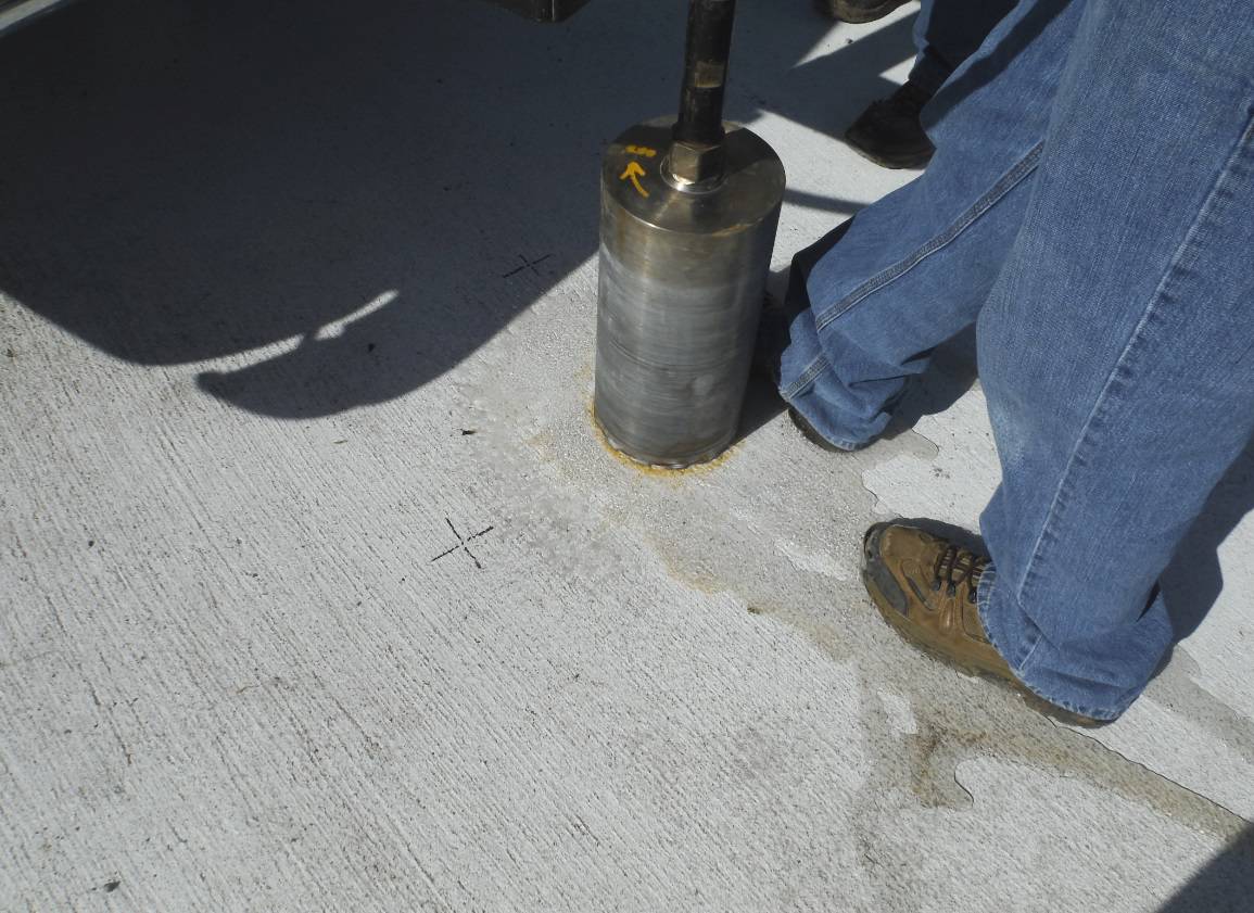
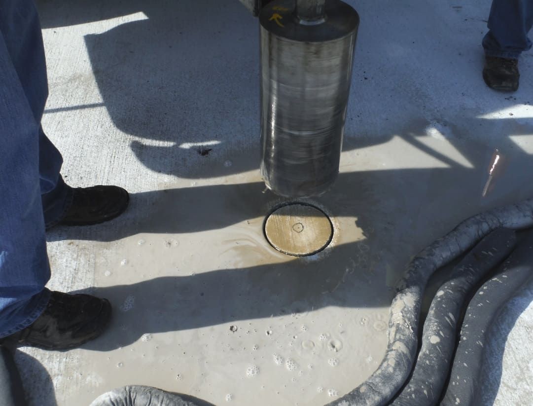
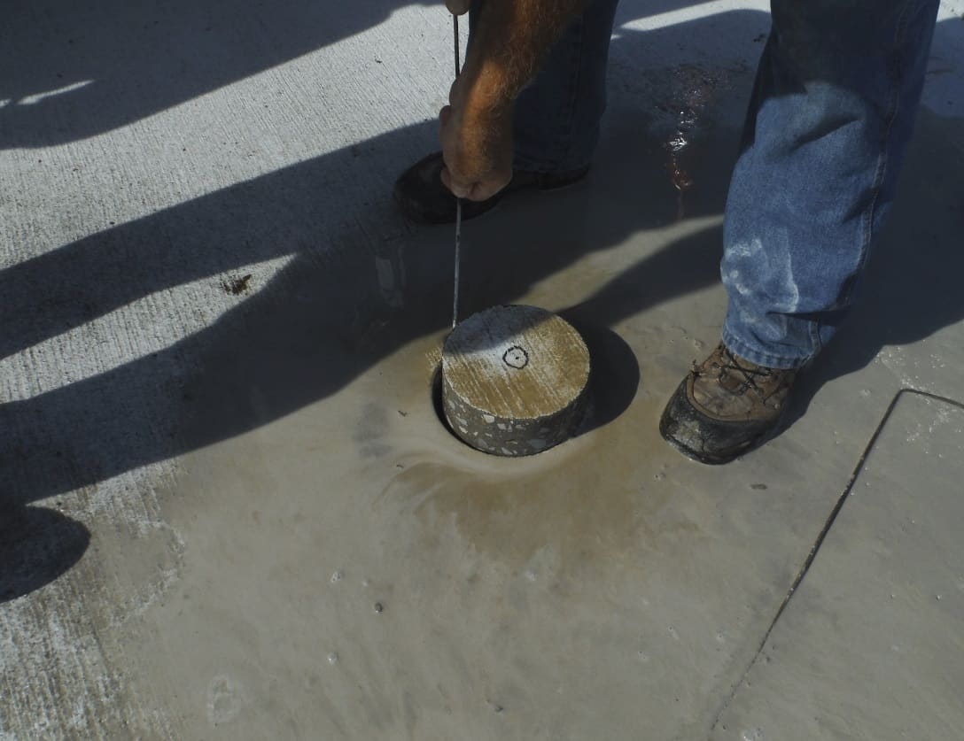
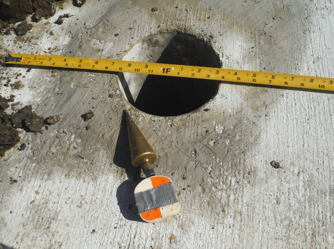
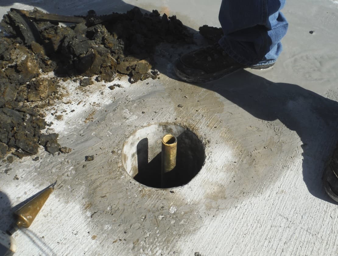
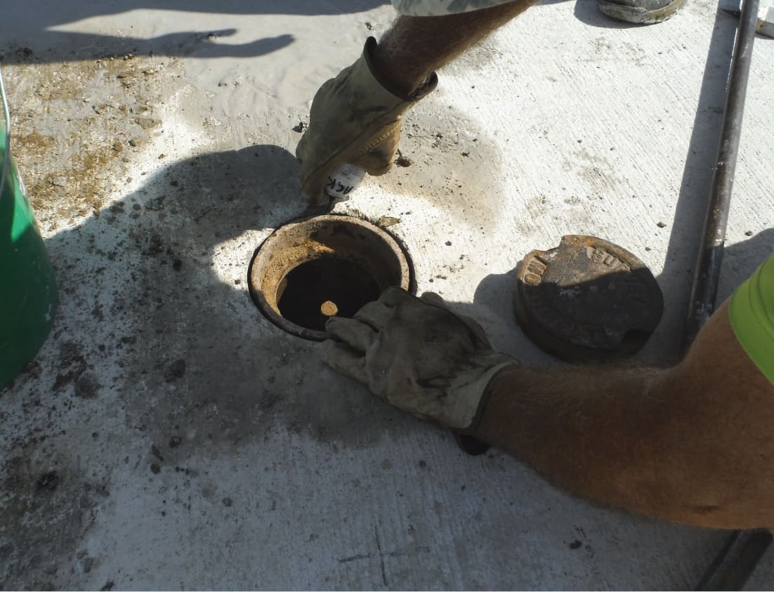
We first spot the location with RTK having a network grid we use throughout the county. We then set up the total station and check existing ties, such as MAG nails in the base of light poles. After the point is determined, we place 1.00' ties in two directions for reference points. Bring in the drill rig, core the new concrete, and dig out extra dirt below the concrete. A lower 1" pipe monument is placed about 2' deep. Then a rebar is sleeved into the pipe with a piece of rag to keep dirt out of the pipe. Then pack the dirt back in and also cold asphalt. Then place a 7" diameter monument well around the rebar and a 2" aluminum cap on the rebar. Seal the outside edge of the monument well, put the lid on and get out. 🙂
We first spot the location with RTK having a network grid we use throughout the county. We then set up the total station and check existing ties, such as MAG nails in the base of light poles. After the point is determined, we place 1.00' ties in two directions for reference points.
Very nice monumentation work. My question, though, is how RTK figures into the process. Are you basically just using an RTK position to see approximately where the corner falls and then using more accurate conventional ties to the reference points to determine the corner's actual position for monument placement?
RTK is a tool we use to get a quick spot to set up the total station upon. We use a broadcast network system for non-precise work such as topos, but have found up to 0.10' of daily error in the network. Not good enough for setting back section corners to 0.01'. If we localize to surrounding section corners using our grid coordinates we can get right on. Localizing within the city can, however, be a challenge with getting out to section corners in the center of busy intersections. Since we usually have these monuments tied out prior to construction, we use existing ties such as in this case. Set the total station over the RTK dot and adjust the position as necessary.
You hiring?
:p
I love the coring rig. I wouldn't have any use for it, but it's pretty slick.
I'm not a fan of sharpie marks for control points, though. I know it makes little difference in the net result, but it's so easy to scribe or saw a sharp cross in concrete that using a sharpie seems sloppy to me.
Very nice work overall, though, as usual.
No such thing as section corners here, but I have a question. Since you have reference points already in, why not do a resection off those with the TS instead of the RTK?
Jim Frame, post: 380487, member: 10 wrote: I love the coring rig. I wouldn't have any use for it, but it's pretty slick..
The lab had one (trailer mounted) at the asphalt co. I worked for years ago. They are great for establishing monuments in pavement. They are heavy. They are expensive. And after you get over the sticker shock...you faint at the price of the hole core bits.
Great job guys, btw.
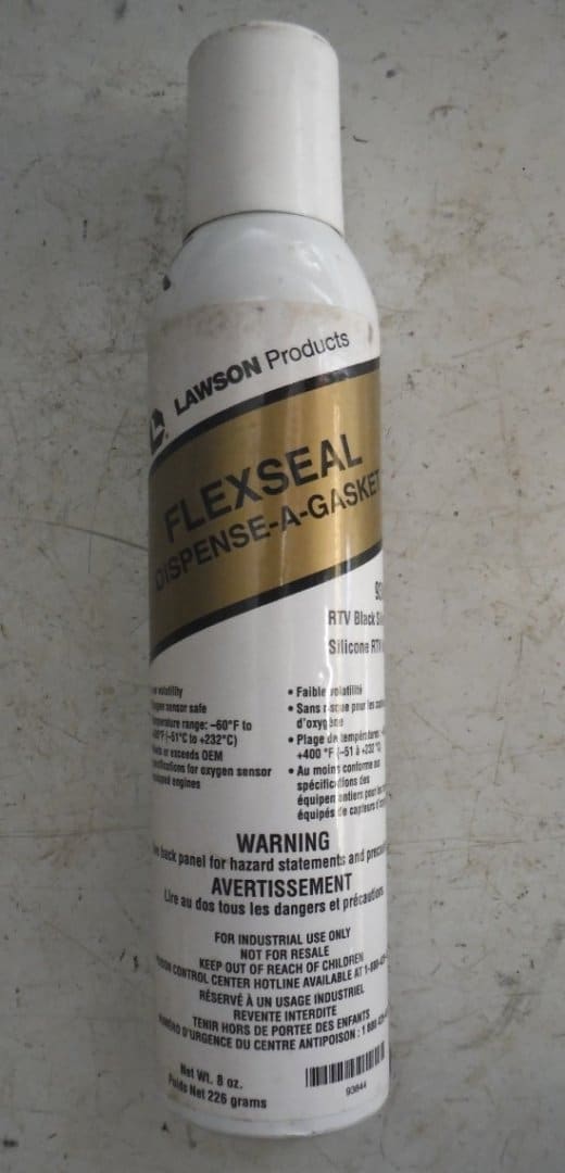
I was wondering what kind of (black) sealant are you using around survey marker lid rim? Thanks.
Jerry. Thank you for your service (to the public).
eddycreek, post: 380490, member: 501 wrote: No such thing as section corners here, but I have a question. Since you have reference points already in, why not do a resection off those with the TS instead of the RTK?
The RTK gets a quick point where we can set up the total station and adjust by moving the TS on the plate. We used to do distance/distance intersects from the reference points, but using RTK is just a tool to same some time.
Yuriy Lutsyshyn, post: 380545, member: 2507 wrote: I was wondering what kind of (black) sealant are you using around survey marker lid rim? Thanks.
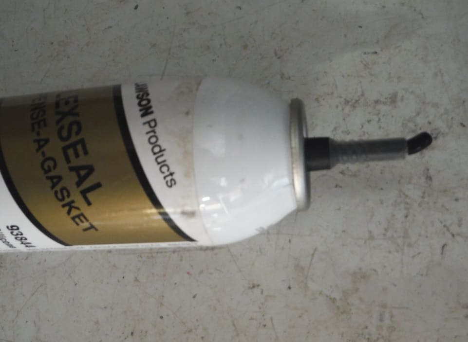
Flexseal in a pressurized can. No need for a caulking gun and this stuff just dries a little at the tip and never completely down like a tube does.
As we all know,preserving or re-establishing monuments are so important.Great job !
They would have had no idea what they were looking at. Other than an odd balloon or two, no one was hanging out at that altitude. Taking a clear picture downward would have been another rather difficult accomplishment as well.
Holy Cow, post: 380847, member: 50 wrote: They would have had no idea what they were looking at. Other than an odd balloon or two, no one was hanging out at that altitude. Taking a clear picture downward would have been another rather difficult accomplishment as well.
Good point about imagery. There time was pre-Civil War. Vehicles were unknown and trains were not in this part of the country for another decade. Concrete was not yet being used. A logical conclusion might be that they were looking at boats on some sort of smooth channelized river that all came together.
Great work.
I paid a visit to Lincoln back in 1998 as a couple of pastor friends of mine relocated there to the north side of town- I was thoroughly impressed with the fact that even though it is a large city, it more seemed like a huge small town with respect to the social climate there. Quite unlike any other city of its size in my opinion.
