Very, very cool.:gammon:
Very Nice!
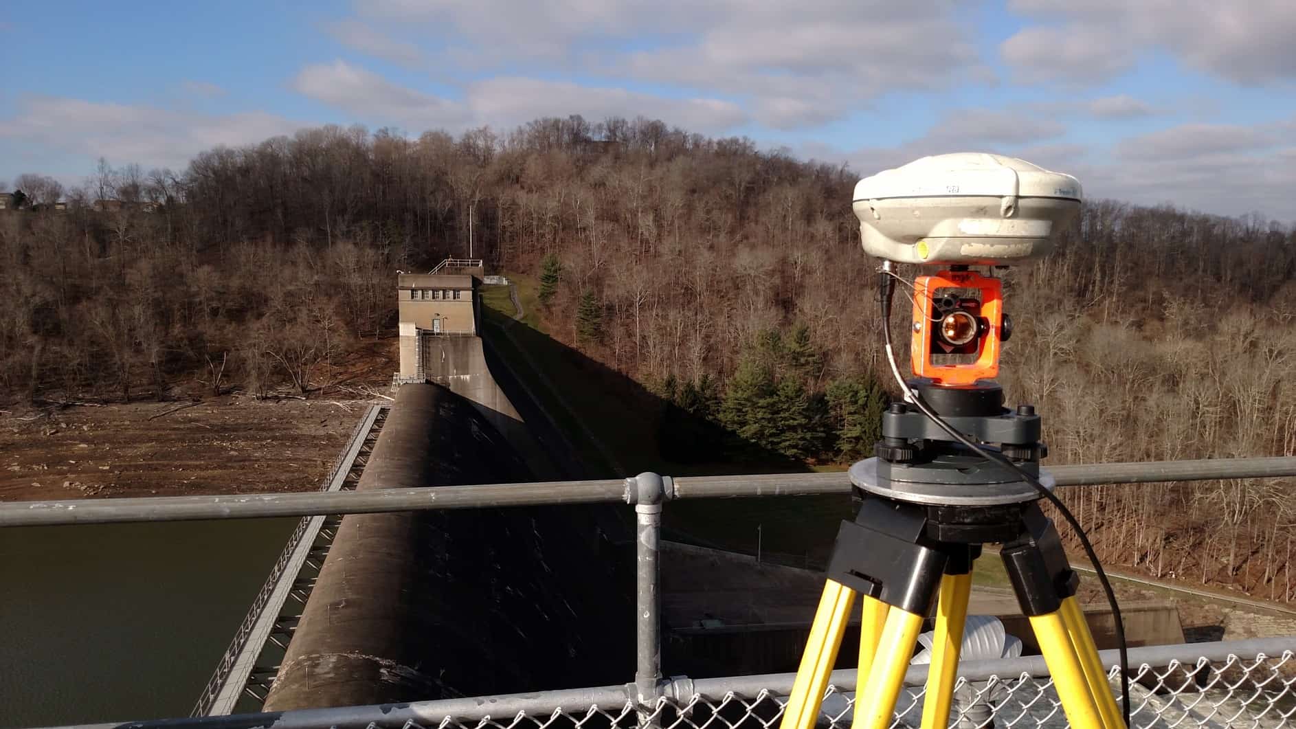
I like the combination of the mini prism with the gps antenna on top.
Chr.
nice!
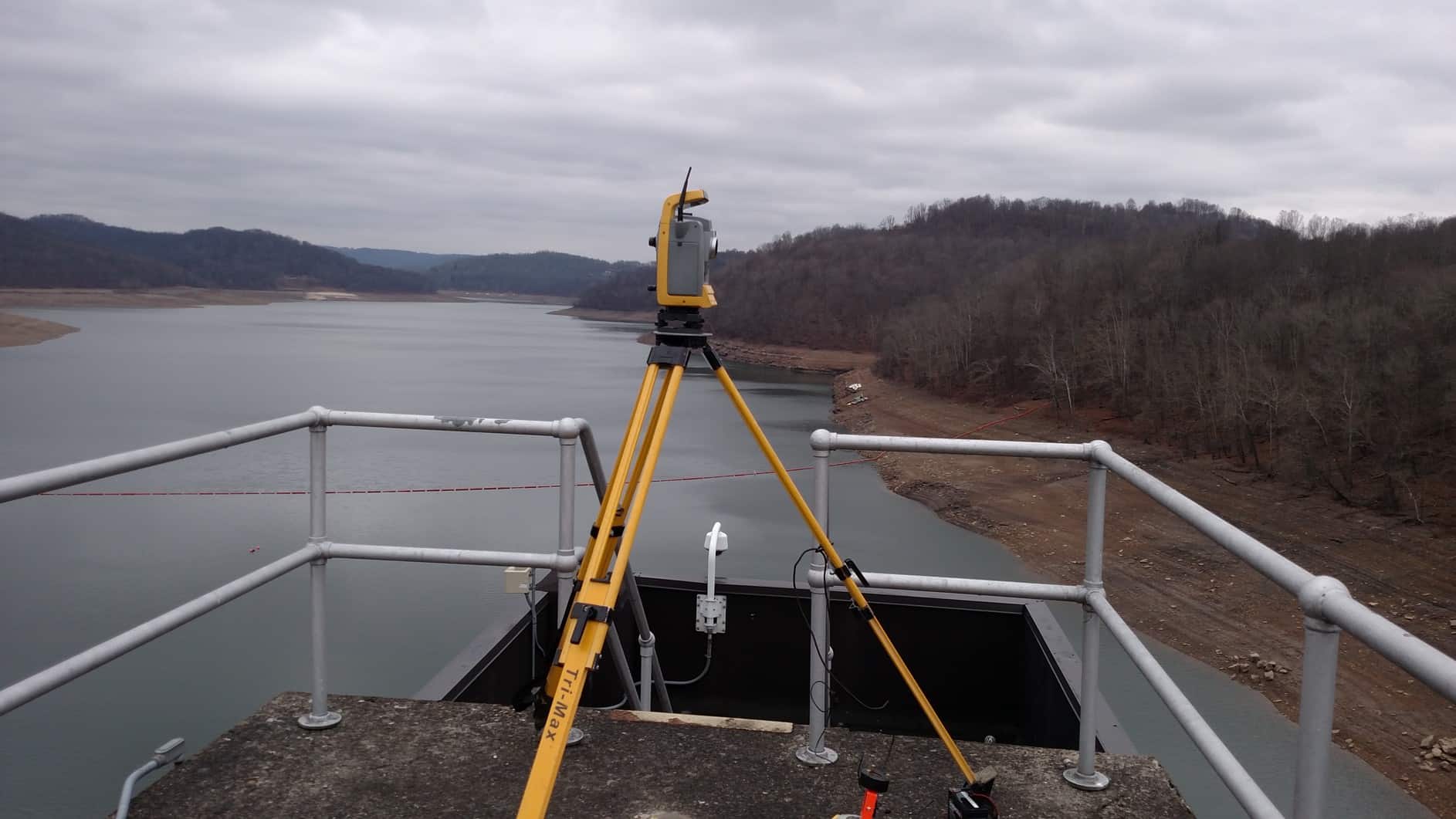
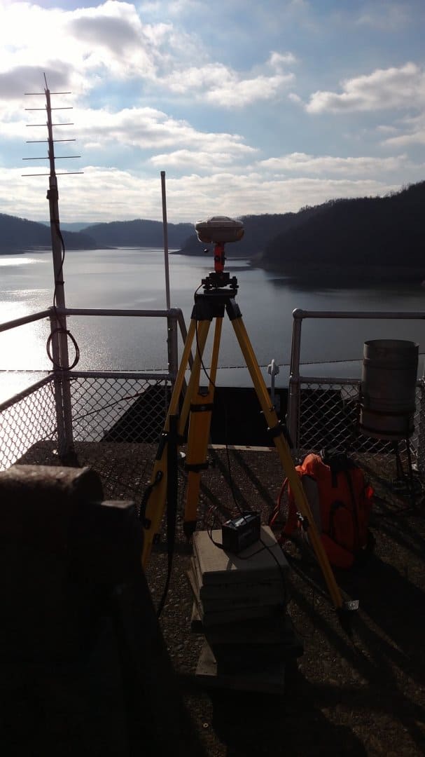
John- is the instrumentation on the structure you are monitoring? It's hard to tell from the pictures. Typically I've always had the control- concrete pier or H pile, on shore or a substantial distance from the structure to avoid and confusion or coincidence in movement
christ lambrecht, post: 347744, member: 284 wrote: Very Nice!
I like the combination of the mini prism with the gps antenna on top.
Chr.
Chris: we do that on all jobs. Makes tying in the GPS points easier!
pmoran, post: 347754, member: 8922 wrote: John- is the instrumentation on the structure you are monitoring? It's hard to tell from the pictures. Typically I've always had the control- concrete pier or H pile, on shore or a substantial distance from the structure to avoid and confusion or coincidence in movement
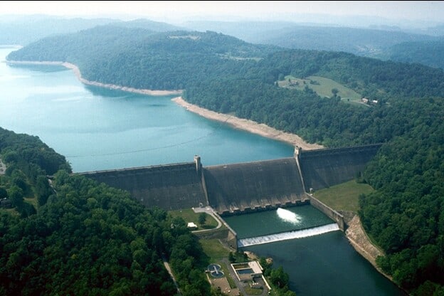
Usually it is off structure. But this site is unique. We have one point off structure that we have been using for years. It was set in the 1930's during construction. Because those points are located in the middle of the dam, we use GPS tie to the point off structure, then we do conventional observations using those two points as control. We recently found another point from the 1930's on the opposite bank (set on the dam axis before construction), but it appears to have slid down the hill about 20 cm or so. But, it is stable now so we are adding that point into the network (after cutting a few trees).
So, to summarize, we use GPS to provide offsite stability ties, and conventional total station and leveling for on site. The other 15 dams we monitor have pedestals located off the structure, but this was the first of 16 flood control dams built (completed 1938). Curiously, this project had alignment pins set during construction, all of the other projects have alignment pins and pedestals set in the 1970's after the failure of the Grand Teton Dam raised the importance of monitoring the large dams in the US.


