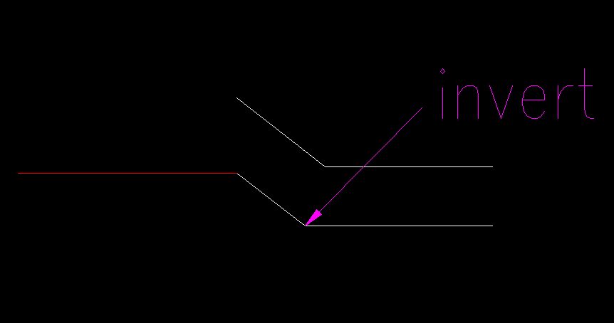
Does anyone know of any ways (or tools) to measure the invert of a pipe similar to the below picture? Pipe size is up to about 900mm and there is around 2m between the inlet and the invert.
The only way I can think of is to take a couple of measurements along the slope and calculate the level.
Is this slope change taking place through a manhole? Are there some unusual accuracy requirements?
They are road crossings connected to an open channel. Accuracy of around +/- 2cm is desired.
I would shoot the inlet, measure the slope with my abney hand level (forward and reverse), and use a pocket tape for the distance. maybe repeat with a 2x4 extension of a couple feet.
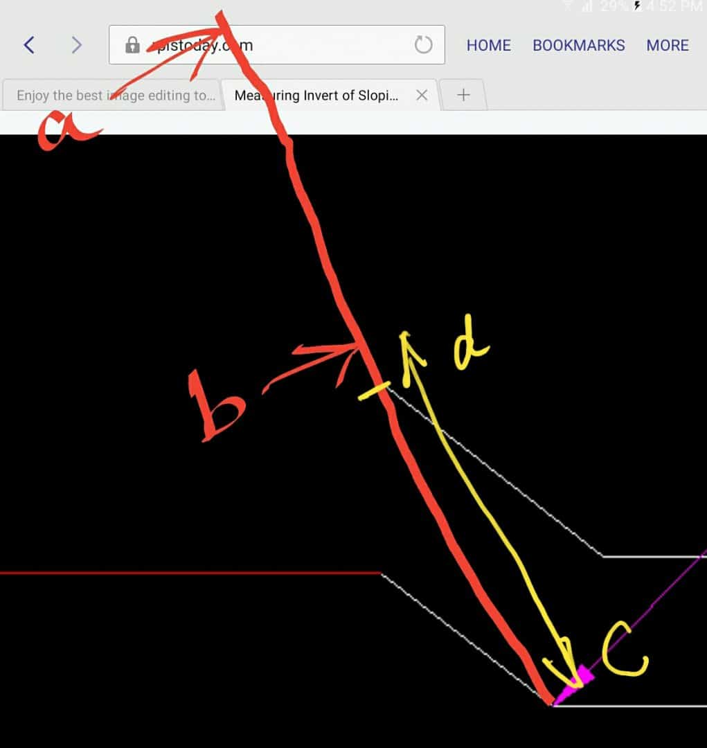
Can you poke a long straight edge down the pipe and rest on apex (bend) at bottom and top of same pipe.
Measure two points "a" "b" and knowing "b" to "d or" c", and "c" to "d" apply simple cogo?
To know where top mark is, rotate pole or stick to score a line on whatever you poke down
what Richard describes is a dual prism rod, we use it all the time to measure to places where we cannot get a rod plumb over a point. Trimble Access has a routine built in for this, it stores the 3D coordinate of the tip of the rod after you shoot the two prisms (in addition to the measurements to the prisms).
With prisimless TS it is possible to shoot to the face of most any level rod or measuring tape and note the measurement read on the crosshairs and calculate a 3D remote location.
Here is a great explanation of the method by Shawn Billings that was published in the American Surveyor:
http://www.amerisurv.com/PDF/TheAmericanSurveyor_Billings-HiddenPointOffset_November2008.pdf


