And Surveyors always agree on the center section point.
paden cash, post: 410940, member: 20 wrote: In the Oklahoma Territory portion of our state, conveyances are kept by STR in chronological entries starting at patent from the US of A. Barring any erroneous entries chasing chain of ownership can be a snap.
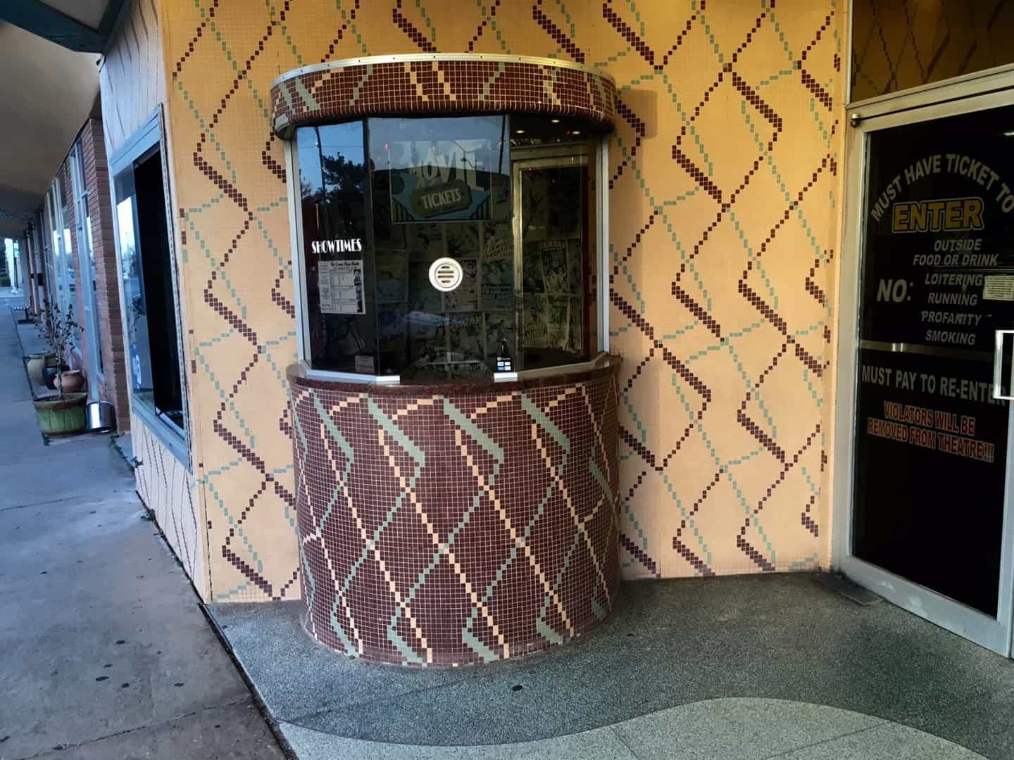
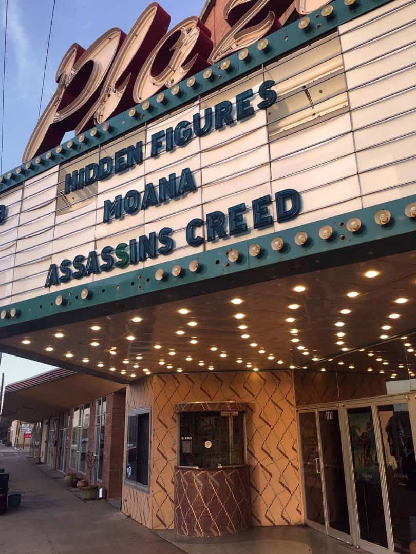
I get the idea that Vernon does deal with Oklahoma Territory issues as witness the notice on the front door to the movie theatre (where the marquee announces that LEGO BATMAN will be arriving soon).
Kent McMillan, post: 410950, member: 3 wrote: I get the idea that Vernon does deal with Oklahoma Territory issues as witness the notice on the front door to the movie theatre (where the marquee announces that LEGO BATMAN will be arriving soon).
So your records search was so successful you took in a matinee? Do they still have three cartoons before the main attraction? 😉
Kent McMillan, post: 410947, member: 3 wrote: Actually, the W.T. Waggoner Estate was a sort of family corporation. Note that now the Waggoner Ranch IS owned by one person, the husband of a WalMart heiress, who laid about $725 mil down for it.
Probably using it as collateral to build the new stadium in Los Angeles for his
NFL team.
http://www.cnn.com/2016/01/19/architecture/new-nfl-stadium-los-angeles/
Back in '95 I was attempting to stake some preliminary centerline for the Creek Turnpike in Tulsa that loops around and hits Catoosa. A good chunk of it ran across a ranch owned by Sam Walton's sister and her hubby (I believe). Small by Texas standards it was only about twelve square miles. The aggravating part of it was the landowner closed all the section line roads and there was absolutely no access. We were forced to drive to the "big house" every morning and go through the main gate. The "manager" was an older Asian fella that would come out and find out where we were going to be working every day.
In reference to Bonanza we privately referred to him as "Hop Sing"...
paden cash, post: 410952, member: 20 wrote: So your records search was so successful you took in a matinee? Do they still have three cartoons before the main attraction?
Actually, it's the photos that are the bonus that trips to far flung garden spots like Vernon have to offer.
The whole area is "The Last Picture Show" country, but with a bit more glamour from some distant and prosperous time remaining.
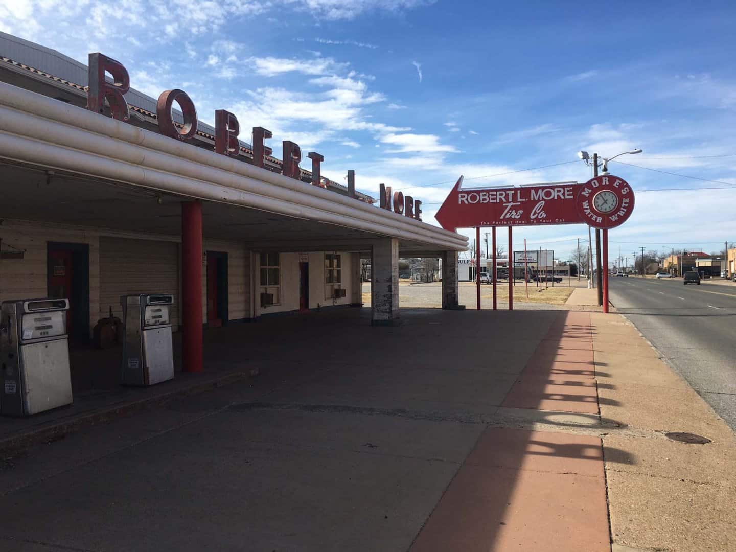
Although it was R o b e r t . L . M o r e whose (empty) tire store won the marketing award.
Cool pics. Glad you had the time to snap some Americana (ala Tejas). I watched a coyote last week lay in wait for the hombres building fence to finish their Sonic burgers, but alas had no camera with me.
From what I could tell he was actually only interested in the tater tots. I wanted to call the ASPCA.
Per easy surveying....imagine if you had a guy in charge of creating a database of all the historical records of a road department / survey department going back to the 1870's AND he had a photographic memory which included the ability to connect features or documents to their geographic location (by township, range, section). Simply incredible! You could ask him where anything was in our 170 square mile county and he could instantly recall what section it was in...even the fraction of the section down to a 1/2 of a 1/4.
The sheer volume of survey records he entered into the database makes it really hard for some people and really easy for others.
Kent McMillan, post: 410958, member: 3 wrote: Actually, it's the photos that are the bonus that trips to far flung garden spots like Vernon have to offer.
The whole area is "The Last Picture Show" country, but with a bit more glamour from some distant and prosperous time remaining.
Although it was R o b e r t . L . M o r e whose (empty) tire store won the marketing award.
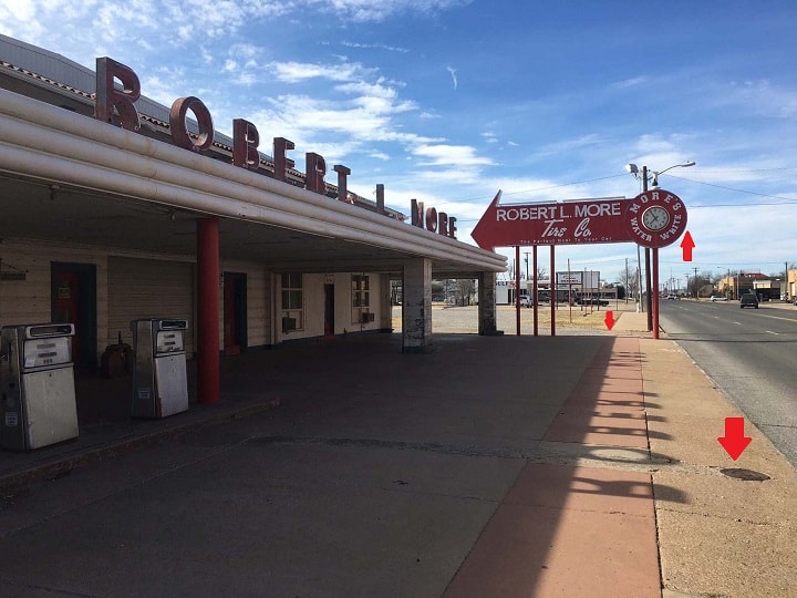
Love the composition of the Robert More store pic Kent. But sadly, once a surveyor always a surveyor...the more I gazed at the pic I realized I was noticing (a) the water meter and service line repair (b) the overhead sign encroachment into the driving lane and (c) a good place to look for a pin.
I'm hopeless....
paden cash, post: 410965, member: 20 wrote: Love the composition of the Robert More store pic Kent.
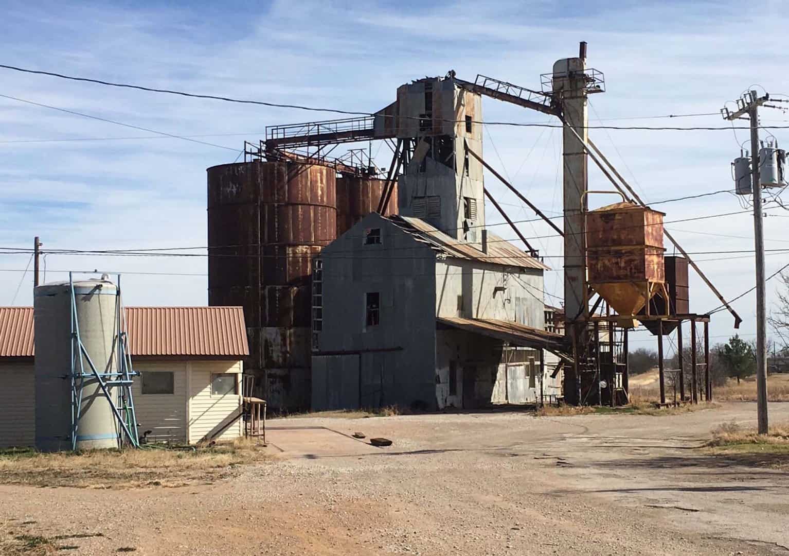
Well, the road to Vernon passes through what was mostly rolling prairie under an endless sky, a landscape that dwarfed all of the little towns needing names for their Post Offices such as Electra, Seymour, Thalia, Mabelle, Rising Star, and Early, not to mention Throckmorton, which was where this feed mill sits.
Rusting skeletons from a different time.
Wonder how many people that little pellet mill employed? I bet the money circulated around that community several times before it hit the road and circulated in a slightly larger small town an hour or two away.
imaudigger, post: 410996, member: 7286 wrote: Rusting skeletons from a different time. Wonder how many people that little pellet mill employed? I bet the money circulated around that community several times before it hit the road and circulated in a slightly larger small town an hour or two away.
Well Throckmorton County has an area of about 915 sq. miles holding about 1,600 people. Historical population statistics indicate that cotton production created a boom there from about 1910 until 1930, when the population peaked at 5,253. Many of the little towns in the area look as if their high water marks were sometime between 1910 and 1930.
We had gold rush camps that had 5000 men living in them.
Churches, saloons, hotels, restaurants, pleasure houses, mills, stables, blacksmith shops, general stores, barber shops, card houses....all gone with the wind.
Nothing left even really left to take a picture of. Maybe a fruit tree or some flowering bulbs along side the road.
imaudigger, post: 411006, member: 7286 wrote: We had gold rush camps that had 5000 men living in them.
Churches, saloons, hotels, restaurants, pleasure houses, mills, stables, blacksmith shops, general stores, barber shops, card houses....all gone with the wind.
Nothing left even really left to take a picture of. Maybe a fruit tree or some flowering bulbs along side the road.
The drier Texas climate does preserve things a bit better. I drove through Cisco in Eastland County, but missed a chance to take a photo of the very first Hilton Hotel in the world. Conrad Hilton was apparently renting rooms in eight-hour shifts to oil field workers, a heritage which apparently qualified the building to become the home of the Chamber of Commerce.
@32.3914517,-98.981477,3a,75y,12.5h,88.06t/data=!3m6!1e1!3m4!1sh4Tl2A4n7sh125PIhf-sfg!2e0!7i13312!8i6656!6m1!1e1?hl=en"> https://www.google.com/maps/ @32.3914517,-98.981477,3a,75y,12.5h,88.06t/data=!3m6!1e1!3m4!1sh4Tl2A4n7sh125PIhf-sfg!2e0!7i13312!8i6656!6m1!1e1?hl=en
Kent McMillan, post: 411003, member: 3 wrote: Well Throckmorton County has an area of about 915 sq. miles holding about 1,600 people. Historical population statistics indicate that cotton production created a boom there from about 1910 until 1930, when the population peaked at 5,253. Many of the little towns in the area look as if their high water marks were sometime between 1910 and 1930.
Pat Metheny and Lyle Mays captured the wabi of all
That with their 1981 album and extended tune
As Wichita fall, so falls Wichita Falls
Robert Hill, post: 411013, member: 378 wrote: Pat Metheny and Lyle Mays captured the wabi of all That with their 1981 album and extended tune As Wichita fall, so falls Wichita Falls
If you google "Yasha Levine Harry Koch Quanah Texas", you should get links to a piece that Ms. Levine originally published in "Texas Observer" that is worth a read if only because it describes the great scheme that lured folks to buy land at inflated prices and eventually go broke while the folks holding the notes worked at creating an alternate reality in which the fault lay with the farmers who weren't sufficiently energetic to make the farms they had bought pay. It's a recurring theme in North Texas.
Kent McMillan, post: 411016, member: 3 wrote: If you google "Yasha Levine Harry Koch Quanah Texas", you should get links to a piece that Ms. Levine originally published in "Texas Observer" that is worth a read if only because it describes the great scheme that lured folks to buy land at inflated prices and eventually go broke while the folks holding the notes worked at creating an alternate reality in which the fault lay with the farmers who weren't sufficiently energetic to make the farms they had bought pay. It's a recurring theme in North Texas.
What I googled was some very frightening info about the historical bonding of the oligarchs.
Robert Hill, post: 411032, member: 378 wrote: What I googled was some very frightening info about the historical bonding of the oligarchs.
It's a side of the history of the settlement of the plains of North Texas that has not gotten the attention it deserves. The conventional history is that a bunch of farmers were ruined by weather and insects, but the bigger picture includes the ways in which monied interests had the game rigged from start to finish.
It isn't just North Texas, though. A very similar scheme was worked by promoters in South Texas.
I have enjoyed these historical accounts of an area in which I am not very familiar. I do not think that enough emphasis is given to Surveyors understanding the unique settlement patterns and land uses of the areas where we practice our profession. In example, in the former cotton land of Georgia, the farmer on both sides of a line would would turn their plow around at the line. This created a mound. Although cotton farming for the most part went with the weevil in North GA, the mounds can often be detected even in what is now deep woods. I have met very few Surveyors that know this. Uncovering the history of an area is one of the reasons, I still find surveying interesting.
lmbrls, post: 411102, member: 6823 wrote: I do not think that enough emphasis is given to Surveyors understanding the unique settlement patterns and land uses of the areas where we practice our profession. In example, in the former cotton land of Georgia, the farmer on both sides of a line would would turn their plow around at the line. This created a mound. Although cotton farming for the most part went with the weevil in North GA, the mounds can often be detected even in what is now deep woods. I have met very few Surveyors that know this. Uncovering the history of an area is one of the reasons, I still find surveying interesting.
Yes, there's no substitute for local knowledge, both as pertains to the earlier surveyors' work and to the circumstances of land use. That particular block of surveys in which the object of my research was located has the feature that nearly all of the section corners in the block were described as "stake and mound" which, with no mention of bearing trees or passing calls for topography on the lines leading to them, was an early surveyors' shorthand for "I guess that someone will eventually mark this corner, but it won't be me." The only lines actually run on the ground when the block was located were those near the opposite end of the block five miles away.
