

Leica hooked me up with some youtubes displaying the imaging capabilites of the GS18 I. I must say that the sales pitch is impressive.?ÿ And the pricing is very competitive with Trimble R12s, according to some quotes that I am holding.?ÿ
I'd like to hear about real world experiences with the GS18 I and the imaging/mapping. Does it live up to the hype? ?ÿ

This Cat I know:
?ÿ
Wrote a pretty good article in the link @gms(idest) posted above...
How much heavier on the pole are they than a gs16? Look bulky
0.93 kg for the gs16, 1.25 for the gs18i, and 1.34 for the gs15.
I love it. I use it for a lot of GIS asset style surveys.
It's very useful for a few things. The obvious one is when you find that one asset at the end of a long run that's under a tree.
Where it's also been very useful is in areas where there are bad sky views and you're not totally sure about the quality of the points. Just do an image series from outside the obstructed area as a check.
It has also been really useful is when picking up complex features, being able to show your stakeholder exactly what's been surveyed and how that fits into the overall scene can really help to cut down on ambiguity and uncertainty.
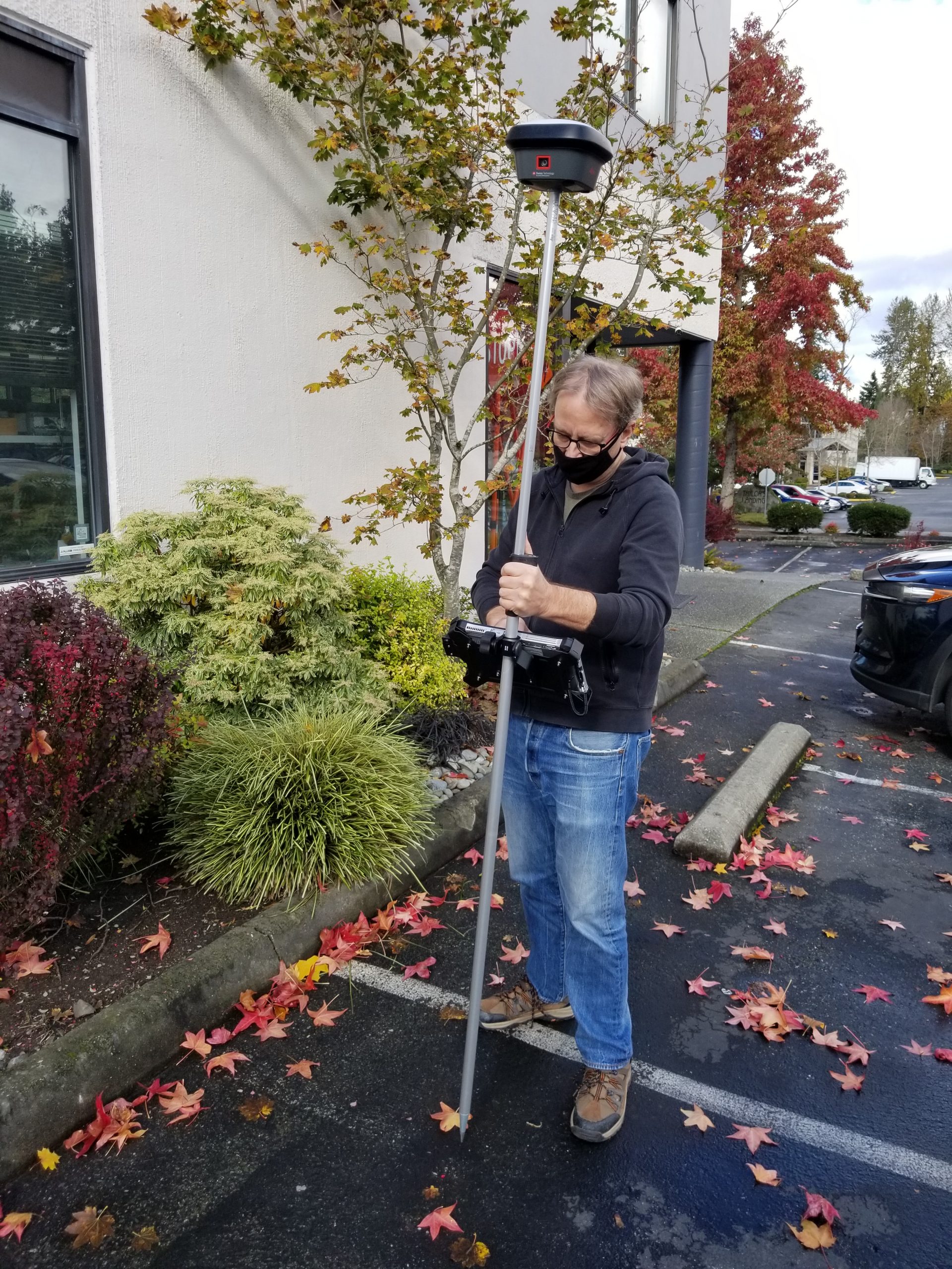
@dougie from your photo, the receiver/antenna/radio unit does look big up top compared to the R10/12 Trimble units I've used for years.?ÿ Plus the big rod-centered mount tablet you are using looks awkward. I don't get companies and people that put a big tablet mounted rod-centered that cause the user to be looking at the tablet with their arm in the way and being not ergonomic.?ÿ It'd be ok if you were standing still with both hands on the tablet, but that's not how you walk around to collect and store data.