Bill93, post: 447974, member: 87 wrote: Can you find any lines near there that look like the sketch? None of the features seem to align near the right bearings.
This would be my best guess. My wife is from Luzon to the northeast over in the Cagayan River valley. Very similar situation with the rice fields in the river bottoms. When I was there I looked for markers dividing the fields just to see how they do it. I didn't see many permanent markers, mostly sticks. I would image its hard to keep the divisions between the fields to conform with the property lines. Probably easier with rice than corn. In the areas where corn is grown that I saw, every square inch is plowed and planted 2 sometimes 3 times a year.
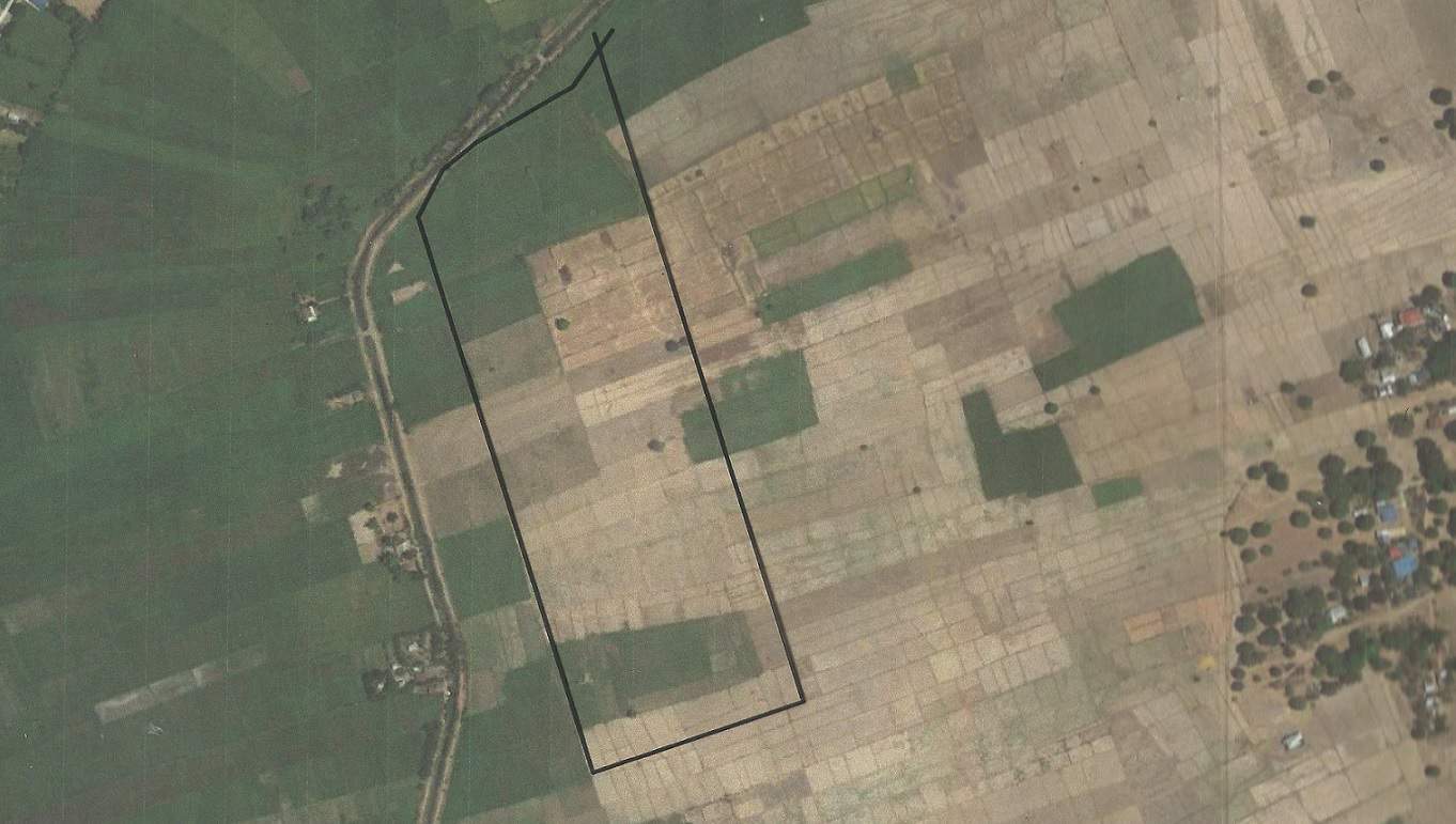
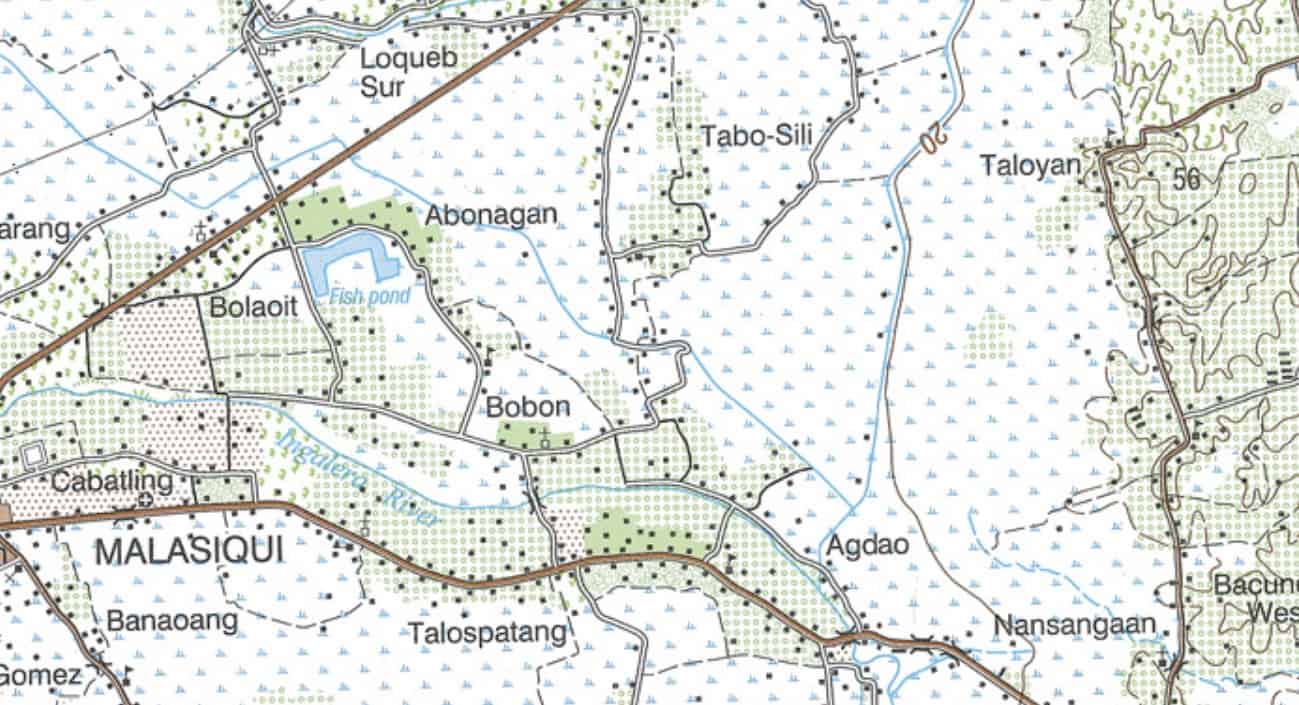
I looked for a place where the creek ran NE and the general pattern of the fields looks more like SE/NW at around16 instead of 6 for the east and west line bearings. SW cor approx. N15.9306?ø, E120.4630?ø. Could also shift it about 83 meters to the northeast to get a rough fit. The creek appears to have been straightened since 1923/1933.
It might help if some of our members from the Philippines, have any input
Thanks for all the input. I came up with the same idea as Kevin, finding the Toloyan creek on a satellite image and looking for similar shape to the northerly part of the lot. I also thought the S16 10E looked like a better bearing giving an area that matches closer to the description.
This is all I wanted to accomplish with this exercise, to be able to show my friend a visual shape of the land, but when I was 100m out, I thought I'd get some opinions.
This is my first time using the forum. I appreciate all the comments and help. Thanks.


