Are you hiring?
That looks like some of the finest place to survey ever!!!
Nate The Surveyor, post: 392629, member: 291 wrote: Are you hiring?
That looks like some of the finest place to survey ever!!!
Actually, I think the same thing when I see the USA photos that are posted on these forums from time to time.
It was a dull, cloudy day (rare) so it normally looks a lot brighter.
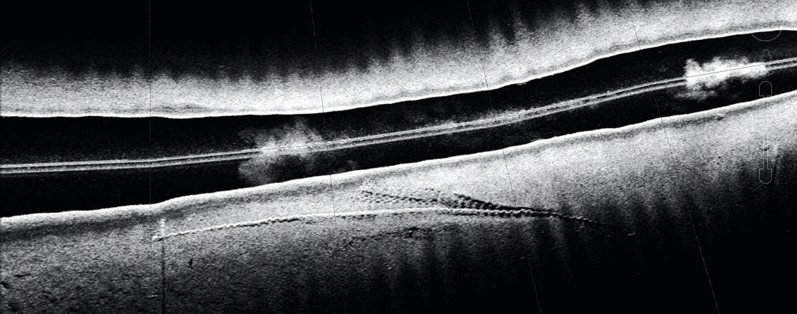
Nice!! What is the last picture? (Looks like a CAT scan of a blocked artery.)
If we swapped for few months....
Richard Imrie, post: 392630, member: 11256 wrote: It was a dull, cloudy day (rare) so it normally looks a lot brighter.
That's my kind of day; perfect surveying weather!
RADAR, post: 392655, member: 413 wrote: That's my kind of day; perfect surveying weather!
Yes. One problem here is that because it is generally always sunny it is difficult to find a couple of hours without sun/heat shimmer to do collimation checks/adjustment on a total station.
FL/GA PLS., post: 392637, member: 379 wrote: Nice!! What is the last picture? (Looks like a CAT scan of a blocked artery.)
It is a sidescan image of a mooring chain on the mud seabed in about 12m of water. The wide black line in the middle is the water column under the boat/transducer. The chain is on the lower half of the image, with the anchor (not visible) at the right hand end and the buoy (not visible) at the left. Although the buoy is not visible, the chain rising up to it can be seen, and also the "sonar shadow" of that chain. Towards the right hand end there are marks in the mud where the chain has dragged when a ship has moored and pulled on the buoy.
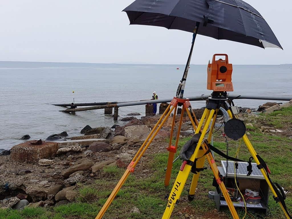
Said with a grin--- Couldn't a guy with a snorkel and a tall pole just walk along the pipeline and give you shots every few meters? :beer:
Monte, post: 392763, member: 11913 wrote: Said with a grin--- Couldn't a guy with a snorkel and a tall pole just walk along the pipeline and give you shots every few meters? :beer:
Like this:
One reason for switching to the float and diver is that underwater visibility in this area is about 1 foot, so to follow the pipe you have to get your face right next to it.
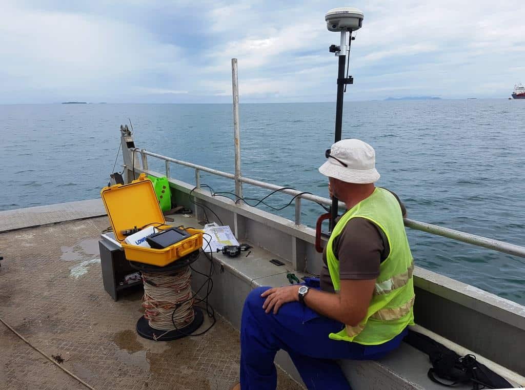
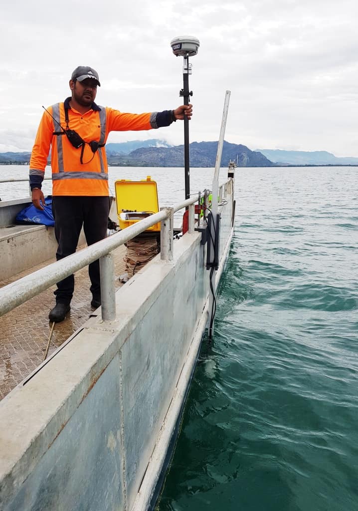
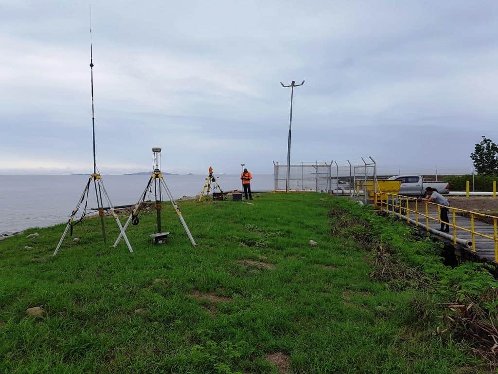
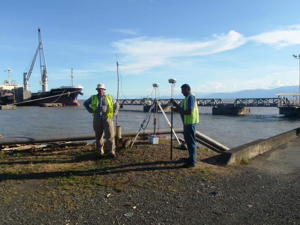
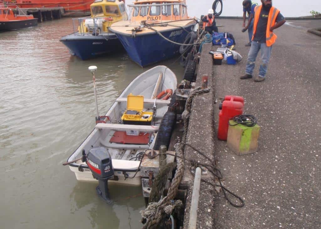
Another day a few days ago by the (some other) sea (and on it and under it - but this time not physically).
Long distance (international flights etc) from our HQ so we cut the equipment down to the minimum, hence the on site improvised radio pole. We had pre-determined that the water was too dirty for visual inspection, hence not physically, which was just as well - we had to keep an eye on and clear debris fouling the transducers, and someone on the shore made some gestures which translated to "watch out for saltwater crocodiles" - hadn't thought of that one.
