Any input on this would be great?
I would be running it with a GS16.
Is it reliable and accurate?
The subscription is $2500/year
Thanks
No interest in NYSNet? Cell coverage issues? Maybe an RTK Bridge could help without another annual fee...?
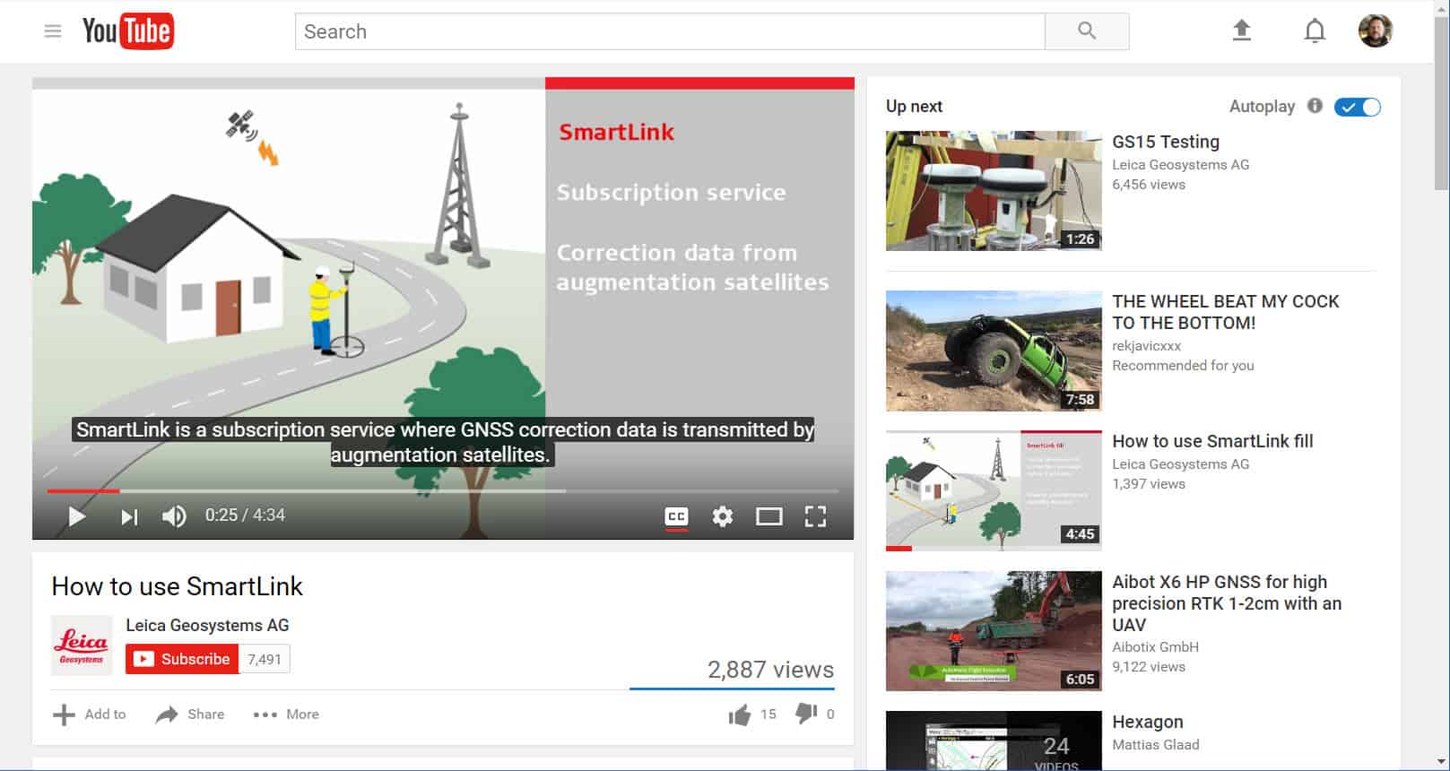
I just watched the Smartlink video. It takes 20-30 minutes to setup Smartlink on each project. Then accuracy is 3cm for 2D and 6cm for 3D. I think you'd be much better off going with your own base and rover GNSS system.
Smartlink, is that the same as the Leica SmartNet? If so, it works same as any other Leica RTN and is a useful tool. I have used it on a few projects with short term subscripions, Oregon DOT has their own Leica network and it is open to all without any user fees other than taxes of course, so subscribing to SmartNet makes no sense for me while working in my home state. I do use static data from the Leica SmartNet quite a bit and the CORS data seems pretty reliable.
SHG
If they are telling you 3 and 6 cm, then that is probably absolute within their network with good sv geometry. These networks are somewhat dynamic with values changing while rebalancing the network. We run a single RTK base station from our office since 2001 that was based on Leica's network or vice versa. I am still amazed by the relative accuracy 15 years later with just single baselines. The beauty of Leica's (or Oregon's or Michigan's or...) network is that you can be anywhere inside and maybe 20 miles from 3 base stations and get good results.
GNSS has always been about using more sv's to augment a better solution. Is smartnet's augmentation any different?


