On October 18, 1767, Charles Mason and Jeremiah Dixon complete their survey of the boundary between the colonies of Pennsylvania and Maryland as well as areas that would eventually become the states of Delaware and West Virginia. The Penn and Calvert families had hired Mason and Dixon, English surveyors, to settle their dispute over the boundary between their two proprietary colonies, Pennsylvania and Maryland.
Though both colonies claimed the area between the 39th and 40th parallel, what is now referred to as the Mason-Dixon line finally settled the boundary at a northern latitude of 39 degrees and 43 minutes. The line was marked using stones, with Pennsylvania's crest on one side and Maryland's on the other.
Thanks to CALS and Joe Philippi, L.S. for the reminder.
Surveyors Historical Society Rendezvous 2002
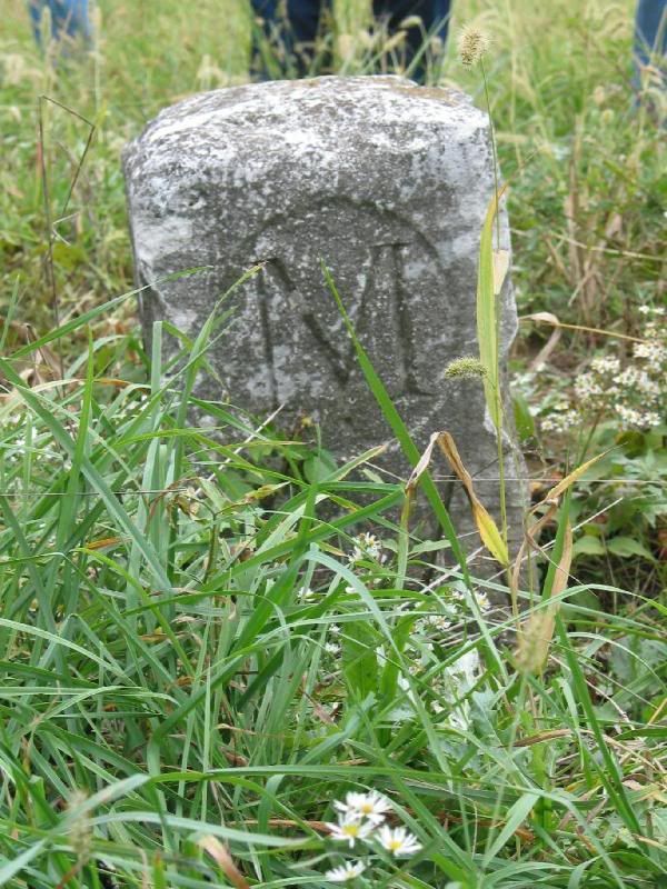
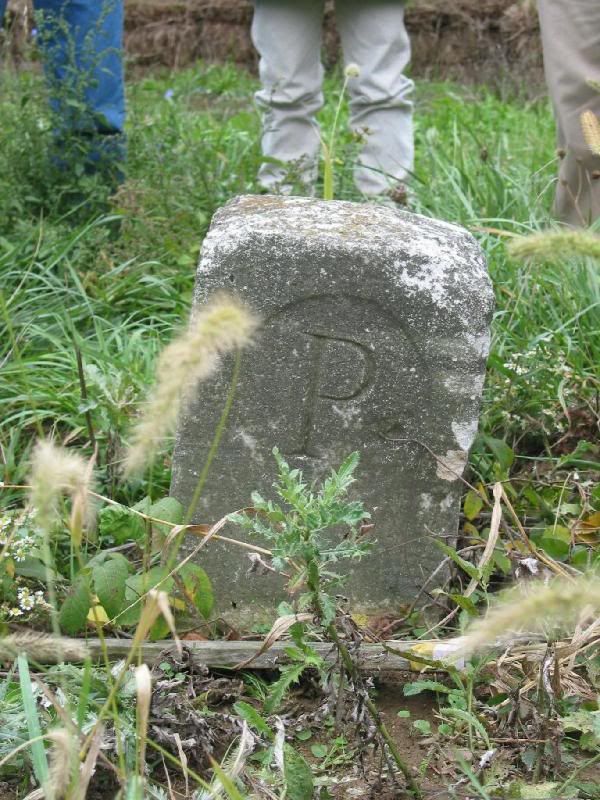
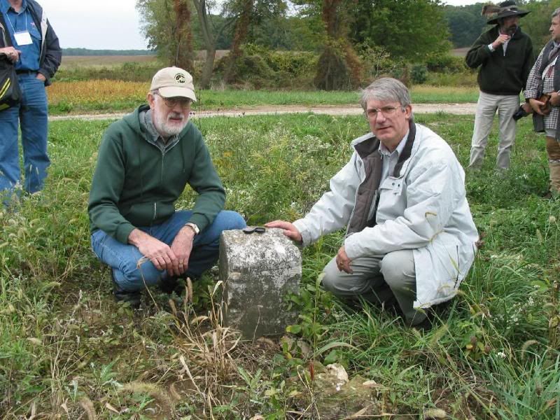
Edwin Danson (right), author of Drawing the Line, was one of the speakers. Read an interview at POB
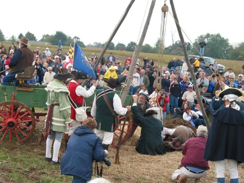
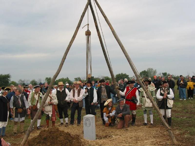
Surveyors Historical Society Rendezvous 2002
Very neat. Thanks for sharing.
Surveyors Historical Society Rendezvous 2002
Holy Crap!
A 13 man crew!
:coffee:
Surveyors Historical Society Rendezvous 2002
The thing to remember is that the original survey party hauled those stones down the line after setting temporary wooden poles to mark the miles. The original stones were sent from England and then carried down the line by the field party, which at times numbered as many as fifty men.
In Western Maryland, at Fort Frederick, which is near a town called Clear Spring, Mason and Dixon left behind 20 to 30 stones that were too heavy to be carried over Sideling Hill. Some of those stones became cornerstones or thresholds in local homes.
Surveyors Historical Society Rendezvous 2002
Thanks SC.
I always love historical info like this. We have nothing like this in my area mostly b/c of the once ever changing river basins.
Now I heard that a surveyor was retracing the 30th parallel stone mounds b/w Miss and LA (formally the Florida Parishes).


