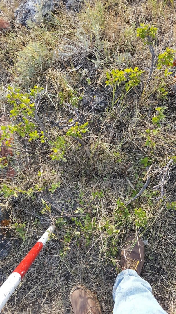
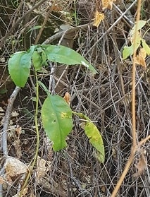
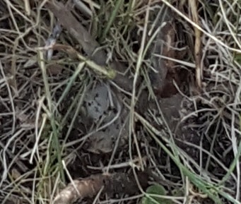
I actually thought I was taking some good pictures of these corners.
The first one is in the bottom of a very steep canyon, almost to the flowline, maybe to feet north of it, the thing took me a good hour to hike to. I was very concerned that it would be lost, down the canyon from erosion, but to my surprise it has survived:
The next one I can drive to, it's a mound of stone and a set stone, a plastic cap was set a few decades ago, the caps were always buried for some weird reason. It took a while to find it, almost impossible to see this one, on the opposite side of the stone from the rod:
One daughter announced several years ago that she was changing jobs and moving to Waldo. You know what my first question had to be.
I'm just going to have to take your word there's monuments in those photos
Ric Moore, post: 447437, member: 731 wrote: I'm just going to have to take your word there's monuments in those photos
They are hard to pick out, I wanted to use the first one on the corner record, the second one I'm going to remonument when I do that part of the boundary. Then I'll get some better pictures, I hope to never go back to the first monument,,,,,,,,ever.
The picture just isn't all that great.
He did always bury his caps, usually a plastic cap, at least if they are buried they will still be on the rebar, exposed to the elements usually they were long gone in a few seasons.
Where's Waldo? Triangulation station Waldo defined the NAD27 azimuth from Meades Ranch.
https://www.ngs.noaa.gov/cgi-bin/ds_mark.prl?PidBox=kg0648
KG0648 NAD 27 - 39 09 55.62600(N) 098 49 50.12100(W) AD( ) 1
KG0648* NAD 83(1997)39 09 55.66043(N) 098 49 51.40791(W) ADJUSTED


