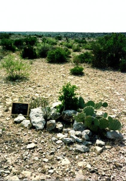
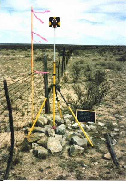
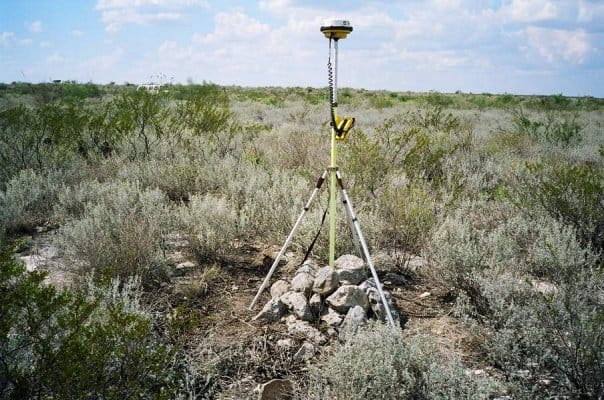
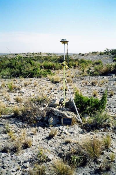
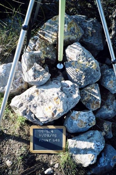
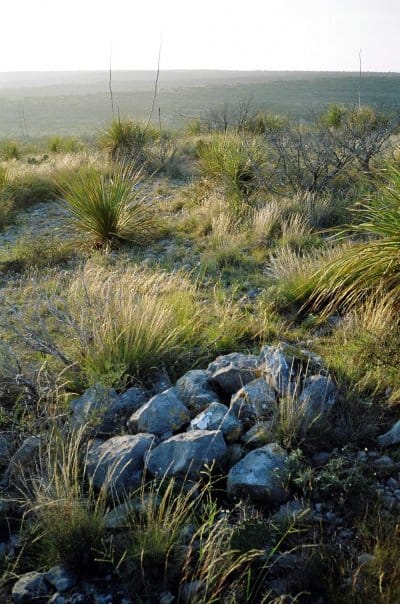
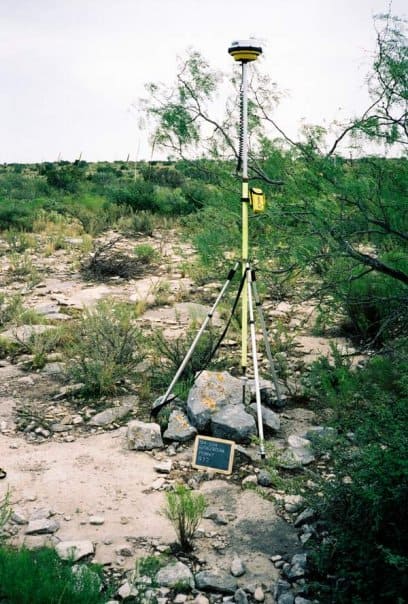
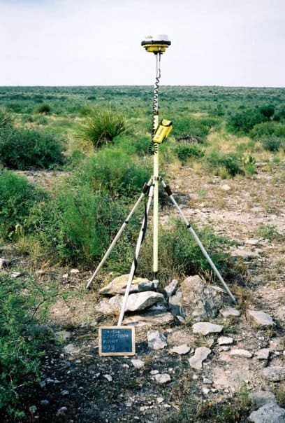
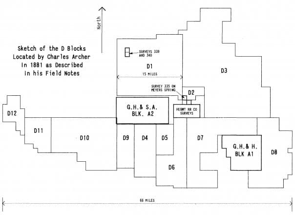
So, the original Archer mounds from 1881 are generally quite substantial things, with few exceptions.
Here, though, are some examples of the mounds at nominal miles South from the NW corner of Block D that are plainly on a trial line run at some time before about 1902.
Rock Mound No. 499 (3 Mile Point)
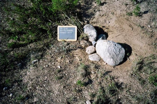
Rock Mound No. 495 (4 Mile Point)
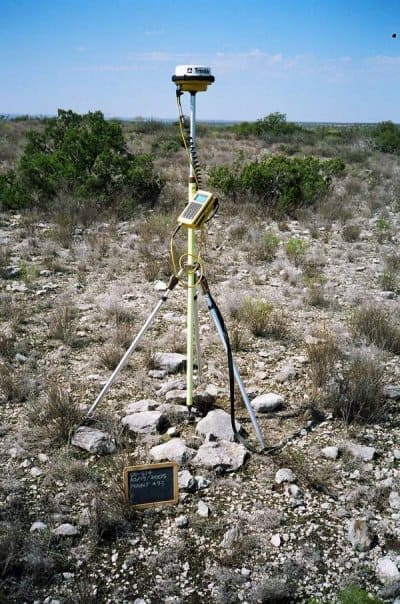
Rock Mound No. 492 (5 Mile Point)
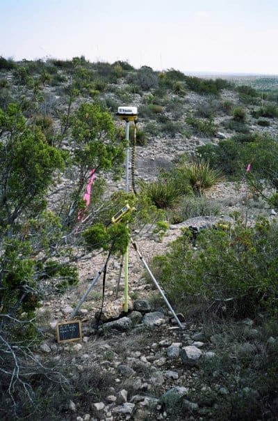
Rock Mound No. 807 (6 Mile Point)
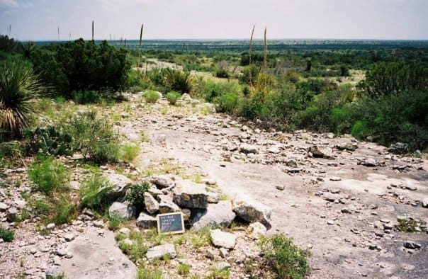
Rock Mound No. 832 (7 Mile Point)
Kent McMillan, post: 393556, member: 3 wrote: In the sketch below, the prior locations include Survey 335 on Meyers Spring, the two GH&SA Blocks A1 and A2, the block of HE&WT RR Co. Surveys, and the two Surveys inside Block D1, Surveys 339 and 340. The rest of the land was blank paper on the county map.
One detail of interest has to do with the designations given to the blocks of surveys. Why a "D" series and why an "A" series? I don't think it's coincidental that the "D" blocks were located as a part of an effort apparently organized by a fellow named J.S. Daugherty. It makes sense to me that they were the Daugherty blocks, "D". The "A" blocks of GH&SA Rwy. Co. scrip were originally surveyed by a fellow named Archibald Bogle, so I would suspect that they were the Archibald blocks.
