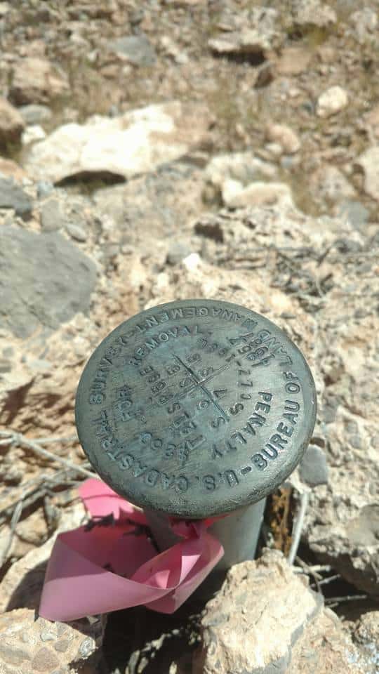
A friend was just vacationing near Red Rocks Canyon, Nevada, and shared this pic....knowing I'd like it better than the beautiful scenery. I thought it might be fun to find the Quad map(s) for the area and give it to them as a memento of their vacation. Any surveyors out that way feel like helping a brother out?? thanks.
ANdy
USGS map locator:
https://store.usgs.gov/b2c_usgs/usgs/maplocator/(ctype=areaDetails&xcm=r3standardpitrex_prd&carea=$ROOT&layout=6_1_61_48&uiarea=2)/.do
36.1376å¡N, 115.4106å¡W
It's either La Madre Mountain or Blue Diamond NE
The corner is in the La Madre Mountain quad.
Here are the two BLM dependent resurvey plats conducted in 1957 and 1987 respectively.
edit: The field notes are not hosted.
It's definitely La Madre Mountain Nevada
Sec. Cor 5, 6, 7, 8, T21S, R59E, MDM
Not having luck uploading a screenshot from my iPad, too large.
Its upside down
Thanks Dave and Gene! You guys rock. Haha!! See what I did there for Gene?
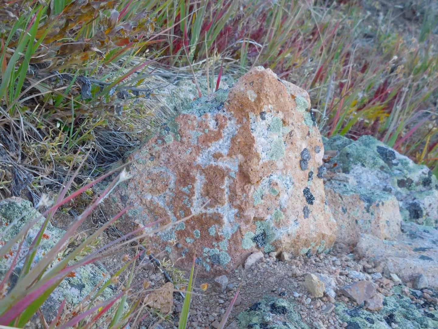
And here's your payback Andy, another stone picture by Gene. 🙂
The stone is a quartz monzonite porphyry at 12,949.25 (NAVD88) on Mt. Bross. It is Cor. No. 2 of the Silver Saddle Lode, MS 342, originally surveyed on January 26-27, 1879. I can only imagine that the well chiseled stone was Dep. Morse's way to stay warm. Brrrrr!


