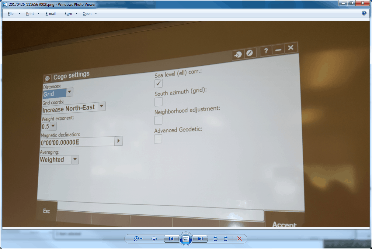
Should the setting for ÛÏsea level ell corr.Û box be checked for normal use as in calculating ground height by applying the appropriate Geoid? I'm not a Trimble user so to me that means by checking it on you are asking the software to calc a height relative to sea level. I assume this is a weird way of saying the Geoid height will be applied to the ell height to calc a "sea level" height? If that isn't it what is it used for?
In what version of what software?
I don't know but if it matters I could probably find out.
First of all, since elevation only has one "l", maybe that means ellipsoid, which would be the correct surface rather than "sea-level" (or orthometric height). Or was that a typo?
It is not correct to reduce distances to "sea-level". Doing so will introduce a 1 ppm bias for each 6 m of geoid-ellipsoid separation. So, for -30 m geoid height around here, that would mean a 5 ppm bias (1:200,000). On NAD27 that was acceptable because we generally did not know the separation, and it was "set" to zero at Meades Ranch (i.e. ellipsoidal height=NGVD29~msl)
The help file in access says that it is a reduction to the ellipsoid. I think they throw in the "sea-level" phrase because that is what people used to call it. It describes it correctly as using the height and not the elevation. It should be checked, according to the help file except if you are using a coordinate system that has the ellipsoid height "inflated" (their terminology) to get ground coordinates that way. I would assume that when using a canned coordinate system (SPC, UTM, etc) that it is automatically applied.
this ONLY affects distance, not heights (original question).


