This little gem just came my way. It's a very simple architectural. All that is on the lot is a very small taco stand/ The rest is ac paving. It seems the city cited the owner for not having any handicapped access, so she needs to come into compliance.
However..I told her that I will not do the survey without filing an RS on it. She wants me to pay the county fee..Nopie! So she has until 6 PM to either sign the proposal or I wont do the job.
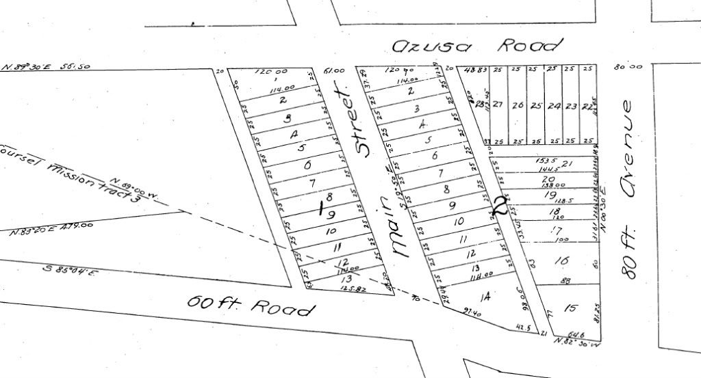
The lot is number 15 in Block 2 of the following photo of the 1887 subdivision. I swear, the guy who calc'd that map must have had some help from Billy Moonshine.

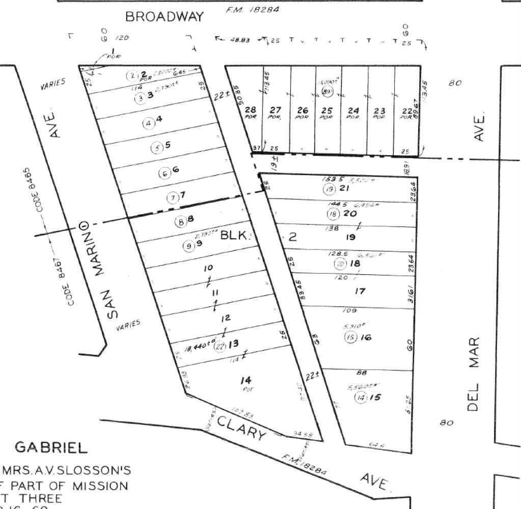
Here is a copy of the tax map. Notice the alley width on the wast..

To ice the cake. The owner is an older Japanese lady and her architect is also Japanese. Now I have nothing at all against asians of any flavor, but have you ever tried explaining material discrepancy to two people who have a hard time understanding "Hello, how are you today"?
Hello! Skurvey?! Wat dat?
How much fo suvvey!! So there are some setback issues on that screwed-up lot? I don't blame you for your take-it-or-leave-it proposal. If there are no setback issues and all they need is some detailed topo around the entrance to design an ADA ramp, I might tackle that without the ROS.
I wonder how they arrived at the 22' ± for the alley? It calc's out to be 18.66'± on the North end and about 18.87'± on the south end using the 20' hypotenuse on the North & the 21' hypotenuse on the South.
It looks like the extra alley width came off the west side. There's a shorter dimension on the left at the bottom.
Well my theory sounded good at first but then there are some weird discrepancies between the AP map and the Plat.
Steven
Some parts of block 2 have 10 foot errors, and thats just Lot 14.
There is a condo on the south side of the street so using thier info for the street, the dimension of 97.40' for the south line of 14 works out to be 107.9'. So up the block it goes.
It's pretty messy. I visited the site this afternoon and along the west alley the occupation was bouncing back and forth. I would like to do the survey, but I will *not* pay the fees to the county.
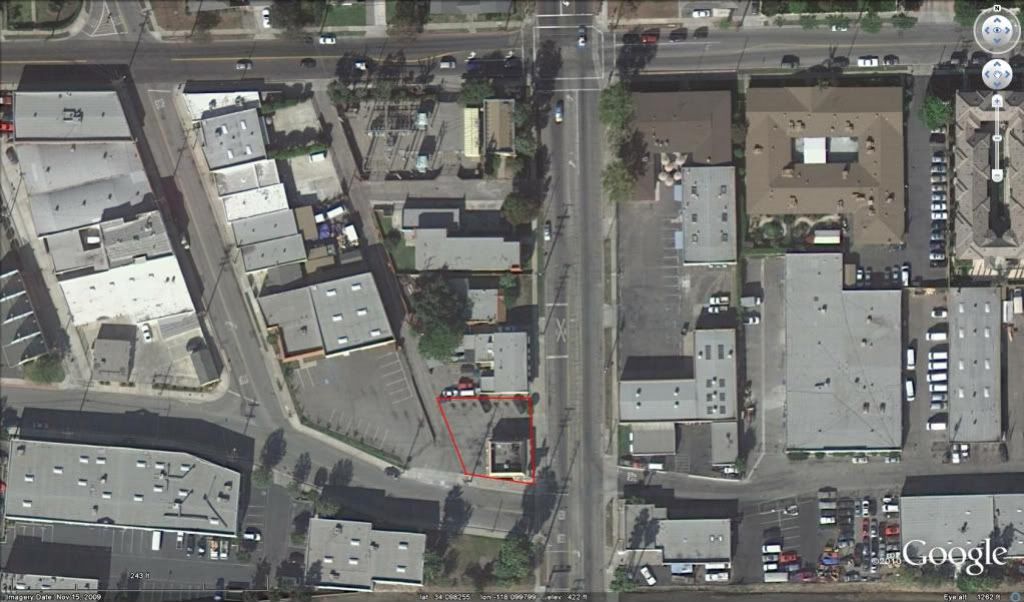
Here's a google of the area..

In 1921 an RS was done for lots 7, 8 and 9 of Block 2 because of the problems in the area. A 1921 RS..who da thunk it!
Link to 1921 RS
Geez Paul what's the big deal, just calc up some coords and go pop the P-Ks into the ground. Now get to it!
Just kidding.
That R/S is interesting.
Link to 1921 RS
Easy. Just dig up the old hubs on Dalton that were found/set on the old plat. I am sure they are still there.
They're probably better at math than Billy Moonshine
Wait... A Japanese lady who owns a taco stand?


