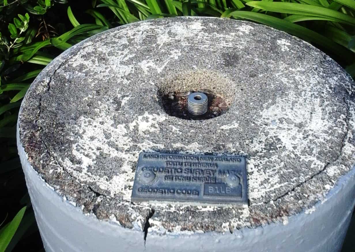
On a recent trip back home I was in Auckland central overlooking the container port, chowing down on the Colonel??s finest and my 7 year old friend on holiday from a different place in the world asked what that large column of concrete was in the trees behind us. I wasn??t sure but I had my suspicions. And there it was and I explained that it was related to what we do with all those fancy instruments back in the office. I??m sure one day long in the future she will look for and find that spot again and look for that concrete column. I hope it will still be there.
The text on the plaque is alternating English and I presume the Maori translation of that English. In Maori (not on that plaque) one of the phrases I can remember from a small boy is "He konei ra" which is said to translate to "Wherever you go, here or there, go with the sun".
Richard Imrie, post: 432587, member: 11256 wrote: The text on the plaque is alternating English and I presume the Maori translation of that English. In Maori (not on that plaque) one of the phrases I can remember from a small boy is "He konei ra" which is said to translate to "Wherever you go, here or there, go with the sun".
Richard, would it be safe to assume that the use of pillars for geodetic control points is a practice that was imported from the Ordnance Survey of Britain? What would you estimate is the average spacing of such pillars in developed areas such as Auckland?
As a minor point of technical interest : I can easily understand why the threaded stud in the top of the pillar is recessed, but how is an instrument or prism mounted on it? Is there a standard adapter that screws onto it that is more suitable for mounting such survey equipment?
Kent: The work I do for the USACE includes over 100 pillars in the Pittsburgh district (we call them pedestals, or peds for short). They have the 5/8" bolt sticking up 1/2". I believe there is an insert that is used with the type shown above. The EDM calibration baseline we use now also has pillars. It is a bit further away, but I prefer to use it to eliminate centering errors from the calibration process. I also built a pair on my property for GPS use and also as a quick check on our EDM without going to the CBL.
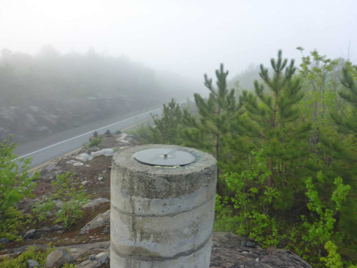
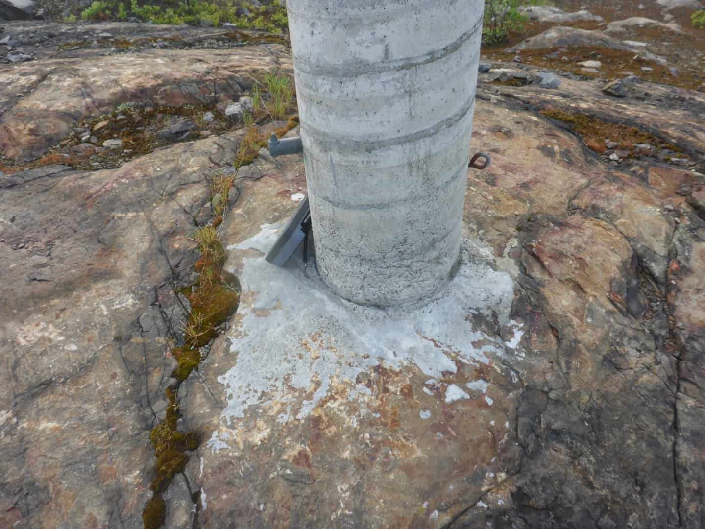
Canada uses pillars for their CBN (Canadian Base Network). These are very nice, they have the bold protruding, with a benchmark on the side and a metal loop to lock a receiver to. Their spacing is about 200 km in built up areas, 500 km in the middle of the country, and 1000 km in the north. Not sure why the NGS never adopted this idea, at least for some primary stations.
Also saw a pedestal in Cairo, Egypt when I was wandering around there when I was in country doing some geodetic work. I assume they use it to monitor the stability of very old structures, it was in an alley amongst a couple of churches and mosques.
Kent, apologies I know next to nothing about the NZ system but I expect that you are correct since the original surveyors were mostly from England. There is Land Information New Zealand (LINZ) which among other things has a database of the 130,000 survey marks. This B1LB is only 6th order.


