Jimmy Cleveland, post: 362827, member: 91 wrote: Now that I am working at my new job, and working on projects of a much larger scale, I am finding the benefits of having georeferenced aerial images as backgrounds for some of my projects.
I am fairly familiar with how to insert a georeferenced aerial image into Carlson 2016 OEM, but I am having a hard time sometimes finding the aerial images to reference. I use Google earth quite a bit, but don't know if there is a way to reference those aerial images, or if there is a better source to find, or create georeferenced images.
We are working on several large drainage basin projects, and the lead survey tech here in the office has been using Civil3D to pull in the aerial backgrounds, which is pretty slick, but I have no desire to move over to Civil3D, when that is the only thing I find appealing at this point about Civil3D. I am sure there are other benefits, but for what we do, Carlson Survey is what I have decided we are using, and am very happy with it.
Any ideas or suggestions for georeferenced images will be greatly appreciated. Right now the main focus of our work is the greater Memphis area, and about a 200 mile radius.
I am looking at the USGS National Map viewer, and seeing what it has to offer.
I have used ArcGIS to georeference images, but I liked Erdas Imagine better. Very user friendly and really robust remote sensing software.
Cheers,
GeomÌÁgico
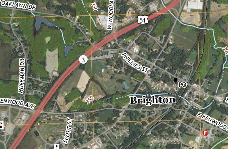
If you can use a GeoPDF, try this link.
https://www.sciencebase.gov/catalog/item/521567bbe4b06d85e09851f1
Go down to "Related External Resources" and click on the link in the box beside "Web Link"
When you open it in Adobe Reader, check the box beside Imagery. It's basically a USGS Topo map with imagery and road/feature labels that can be turned off and on.
I just haven't figured out a good way of getting to it yet.
James
Edit, here's a screen shot


