I understand that the Vertical Centering Error, in Instrument Settings, defines the certainty with which you can measure up the instrument height.
But is the "Elev Diff Constant" used only for data in the DAT file that has certain types of records, such as DV or L records? If there are no such records in the analysis, is that parameter irrelevant. I've changed it under different circumstances, but haven't been able to make heads or tails of it.
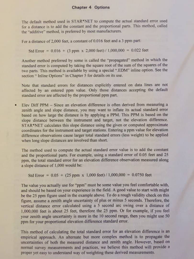
Thanks Scott. I've read that (more than once). But it jumps from Distance standard errors, to the PPM part of Vertical difference errors. It doesn't really talk about what to use for the Constant portion of the vertical error, or why.
It's in the same ballpark as the scalar error in distance. Your instrument is rated at, say, 5mm +/- 5 ppm for distance. It's the same for elevations. You can assume a number or determine one by testing zeniths on an Invar rod, much like you could use the manufacturers numbers or determine your own on a base line for the distance constant and scalar.
Or, reverse engineer it, by tinkering with the values until you get a 1.00 for zenith angles in the adjustment.
Got it. Thanks. Some time ago, I spent quite a bit of time determining the standard errors of my instrument...at least the horizontal directions, angles and distances. I never did anything to measure the verticals.
Can I assume that they'd be the same as for horizontals? (4 seconds for directions, 6.8 seconds for angles)?
Quick answer; Like GPS, instrument verticals are usually worse than horizontals. It's got to do with the sensitivity of vertical angles to leveling errors and refraction.
Scott Zelenak, post: 354776, member: 327 wrote: Quick answer; Like GPS, instrument verticals are usually worse than horizontals. It's got to do with the sensitivity of vertical angles to leveling errors and refraction.
Now that I think of it, that makes a lot of sense. Where's Conrad or Kent when you need them, to devise a winter long project, including procedures to characterize Vertical Standard Errors associated with an instrument? 😀
The vertical index of most every digital instrument needs to be checked and adjusted thruout the day and at the beginning of every setup.
A Harris, post: 354810, member: 81 wrote: The vertical index of most every digital instrument needs to be checked and adjusted thruout the day and at the beginning of every setup.
I do that, but when making observations between one station and the next (not topo or stakeout), I always do D/R, which should eliminate vertical index errors. I thought this constant had more to do with the precision of the instrument measuring vertical angles. Has anyone ever determined how good the compensators in a total station are? They can't be perfect, can they?


