Does anyone have any tips to bring the image produced by Pix4D into Carlson Survey (we are using 2013)? Pix4D produces a JPG formatted image, but they embed some extra formatting that, for some reason, Carlson won't recognize the image. Should I think about upgrading to a newer version of Carlson? Or other software (i.e. Global Mapper)? The software I am currently using allows me to interact with the image produced by Pix4D pretty well (i.e. linework and contours), but I can't export the image from the software I'm using.
Thanks for any advice.
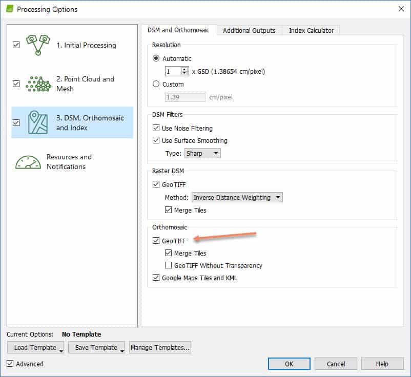
Pix4D does NOT produce a JPG. The Orthomosaic images produced by Pix4D are TIF files along the world coordinate file (tfw).
It can produce both. That's the tricky part of this, it's in your options.
Andrew Clark, post: 438937, member: 10563 wrote: It can produce both. That's the tricky part of this, it's in your options.
Andrew,
After review processing options in Pix4D v3.3.13, I still do not see support for an orthomosaic in JPG support. What version are you using?
From Pix4d website here are suggestions to convert tif to jpg
I thought I've seen it as a JPEG before too, in the options but I could be wrong.
What version of cad is your carlson running on top of? I know from using both 2009 and 2018 versions of C3D, the older ones are very bad at using imagery, and worse when it comes to things like geotifs. When I need to bring an ortho into 2009, I always end up using the align command to make it fit.
It turns out that a TFW file makes Carlson pretty happy. When you use the command Place Image by World File, the image drops right into the right place and scale. Silly oversight on my part.
You can also use the GEOTIFF command to insert and place the image. The tif is the image itself and the tfw is the location info associated with the image, to place it spatially.


