

I hope anyone attending the European Geophysical Union meeting this month in Vienna can forward details about the "...fundamentally new method of heights in geodesy - chronometer is leveling based on the application of quantum metrology of time and the fundamental laws of general relativity." See abstract below.
Is this just a fancy way of referring to heighting using GNSS?
Info on the Conference is here: http://egu2017.eu/information/general_information.html


GeeOddMike, post: 422716, member: 677 wrote: quantum metrology of time
I had to goggle that one...
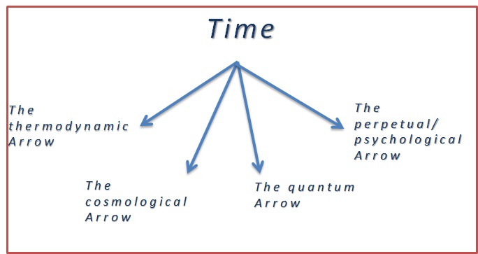
The thermodynamic arrow is governed by the Second Law of thermodynamics which describes that entropy of any system increases with increase in time. Thus the second law states that time is asymmetrical
GeeOddMike, post: 422716, member: 677 wrote: Is this just a fancy way of referring to heighting using GNSS?
GNSS is the tool; theory is, well, entropy...

GeeOddMike, post: 422716, member: 677 wrote: chronometer is leveling based on the application of quantum metrology of time and the fundamental laws of general relativity.
I haven't a clue as to what the above statement means, but given the current state of affairs concerning Russia I am more concerned about them leveling things with warheads. :no_mouth:
FL/GA PLS., post: 422718, member: 379 wrote: warheads

It's going to leave a bad taste in your mouth...
Google gives us:
[INDENT]Relativistic geodesy addresses the relativistic description of time and frequencies, and thus deals with the measurement and modeling of the relativistic gravitational frequency redshift in the Earths gravitational field. In particular, it includes chronometric leveling, i.e., the determination of potential differences based on frequency redshift measurements that are obtained from remote comparisons of frequencies generated by ultraprecise atomic clocks. The theory on relativistic geodesy has been studied since several decades. In recent years, optical frequency standards have rapidly improved by orders of magnitude, and breakthroughs have been achieved in long-distance optical frequency transfer. Therefore, chronometric leveling is expected to become very relevant for geodetic applications and geodetic reference frames. It opens the perspective for tying gravitational potential and heights on Earth to an atomic reference, similar to the definition of time through atomic standards.[/INDENT]
http://iopscience.iop.org/article/10.1088/1742-6596/723/1/012051/pdf
https://arxiv.org/pdf/1308.6766.pdf
I guess I am more practical minded. Another source on relativistic geodesy relevant to the determination of potential differences is: https://www.ngs.noaa.gov/PUBS_LIB/RelativisticGeodesy_TR_NOS118_NGS36.pdf
Look at all that neat math...
Sort of makes multiple receiver, phase differential, static baseline, network adjustment, 7 parameter afine transformation for orthimetric heights gps seem antiquated.
Or, on a humorous note, there is relativistic baseball:
What would happen if you tried to hit a baseball pitched at 90% the speed of light?