Notifications
Clear all
Topic starter
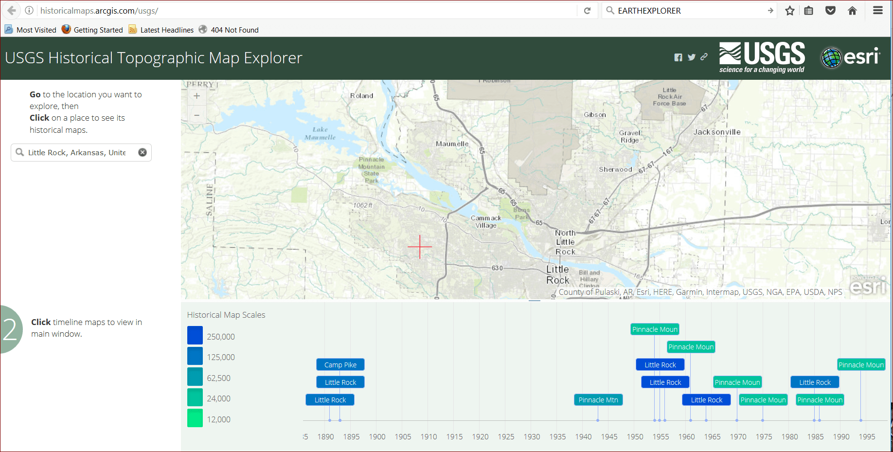
Has anyone else noticed that the excellent server of USGS maps found at the following link appears to be out of commission today? It will download empty zip files, but that's about it.
Posted : February 22, 2017 10:43 am
Topic starter
Dan B. Robison, post: 415355, member: 34 wrote: Working in Little Rock...
Yes, it's functioning again. That was scary to find that such an essential service was on holiday. One just takes the delivery of all the maps and imagery that is available on line from USGS for granted.
Posted : February 22, 2017 11:14 am
Yes...the USGS EarthExplorer with their historic aerial photographs and the USDA Geospatial Data Gateway with their LiDAR, etc. data are very essential.
https://earthexplorer.usgs.gov/
https://gdg.sc.egov.usda.gov/
DDSM
Posted : February 22, 2017 11:21 am


