Some of the boundary surveys in the southeast quadrant of Jackson State Forest by Knute Nelson (1960s) were tied to Two Rock so we are tying it into our control network. It is a spectacular spot with a view of several miles of the Mendocino coastline. It was a leased lookout but it is no longer leased by Cal Fire. The property owner is allowing us access to the site.
Two Rock 1925 1879: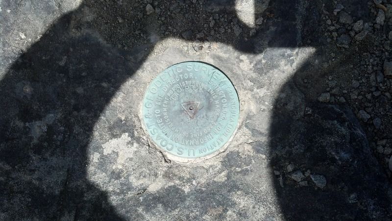
It is less than 10' from a 500' cliff: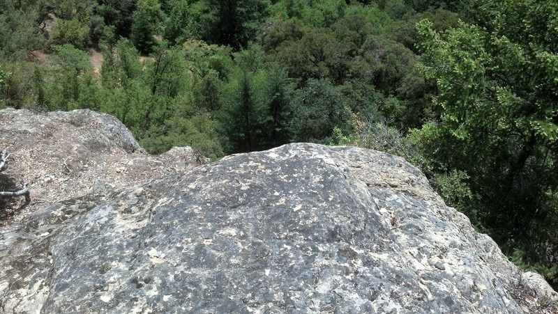
Station from RM1: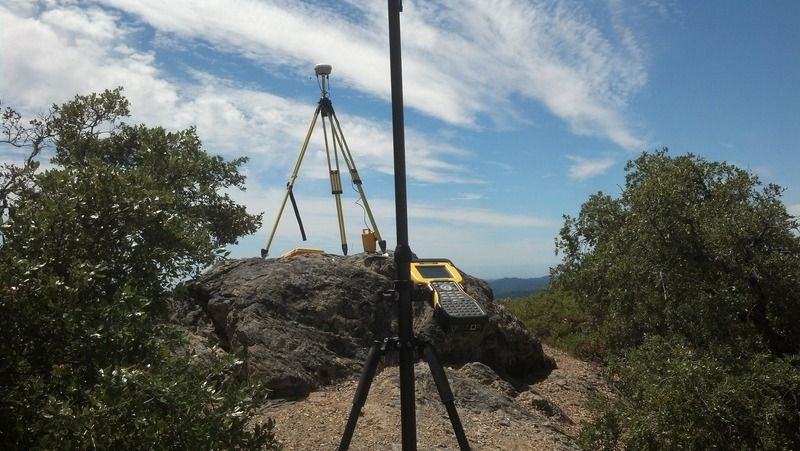
Two Rock is on the northwest peak, the lookout house is on the southeast peak. The azimuth mark is 36' south of the southwest corner of the lookout house. The 1942 description places it 10' south of the southwest corner of the lookout house which was different then. There are two stone pillars 12' apart (northeast and southeast corners of the old lookout house which is gone and two high rocks 12' west of them for the northwest and southwest corner. Roughly 10' south of the southwest rock is the azimuth mark: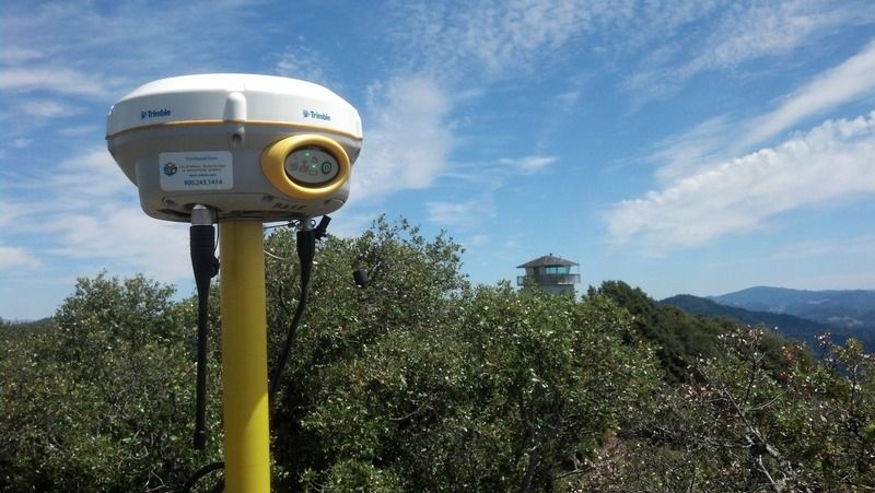
Looking westerly from two rock: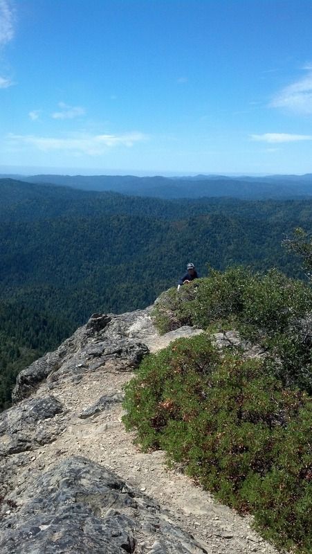
If you had a piece of surveying gear in that last picture with the distant backdrop, it would be worth a calendar nomination.
http://www.ngs.noaa.gov/cgi-bin/ds_mark.prl?PidBox=KT2032
The last recovery report was 23 years ago. Are you going to file one?
Yes when I'm in the office next.
The receivers are Trimble R4 model 3s.
:gammon:


