Tom Adams, post: 395191, member: 7285 wrote: Cool....It's great you followed through with that advice. (I hope you found a good surveyor)
Unfortunately, a survey could produce different results than you think or hope they might. But even if so, knowing exactly what you have instead of being embroiled in different amateur opinions is always better. You can know what is worth fighting for and what to let go.
Was good that I waited we decided on a surveyor that surveyed a piece of land next to ours not the problem neighbor. The map he made for our neighbor references all the properties in question so he already has some of the information and just has to put the pieces together. Will be happy to get this figured out. Was going to wait till the problem neighbor moved because he says he plans to. But we are getting it done and hoping there are no issues.
Robert Rolleston, post: 395275, member: 10403 wrote: Was good that I waited we decided on a surveyor that surveyed a piece of land next to ours not the problem neighbor. The map he made for our neighbor references all the properties in question so he already has some of the information and just has to put the pieces together. Will be happy to get this figured out. Was going to wait till the problem neighbor moved because he says he plans to. But we are getting it done and hoping there are no issues.
Perfect. Of course the surveyor needs to be competent and thorough, but given that, it's good to get someone who has done work in the area and adjacent properties. They have probably already considered some of the junior/senior rights, and some of the general complications for that particular area. Also they are giving an estimate that takes into account some of the known issues. Sometimes surveyors get in over their heads when they don't know what kind of can of worms they are opening.
Tom Adams, post: 395361, member: 7285 wrote: Perfect. Of course the surveyor needs to be competent and thorough, but given that, it's good to get someone who has done work in the area and adjacent properties. They have probably already considered some of the junior/senior rights, and some of the general complications for that particular area. Also they are giving an estimate that takes into account some of the known issues. Sometimes surveyors get in over their heads when they don't know what kind of can of worms they are opening.
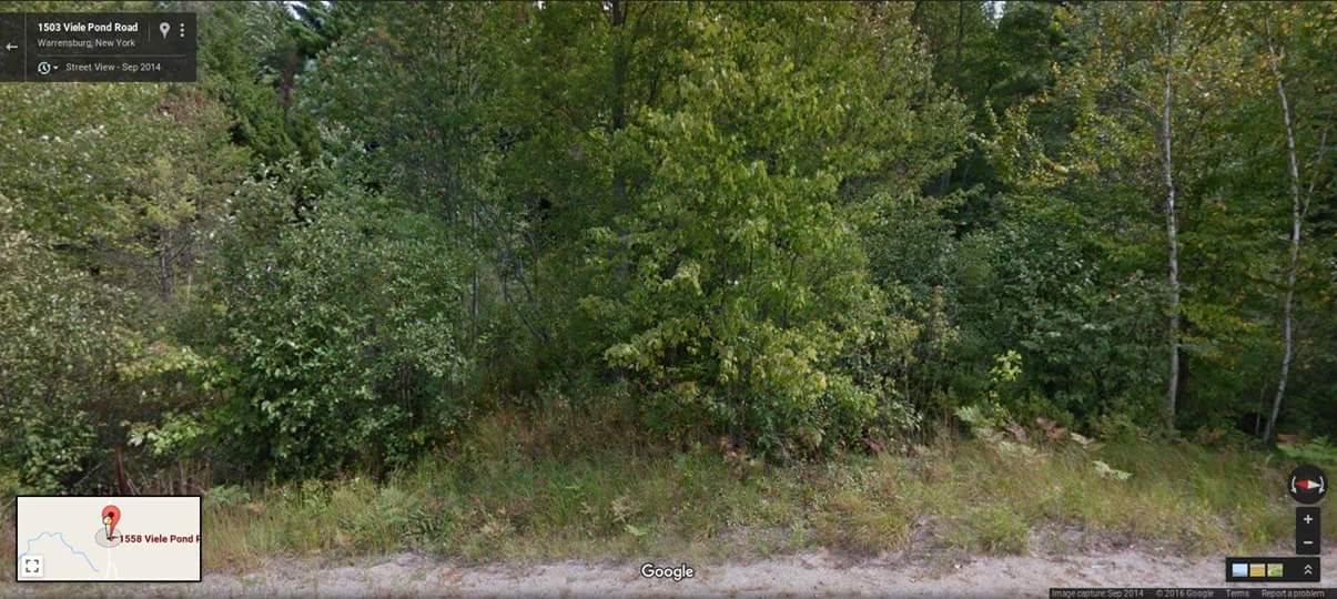
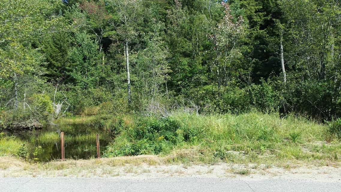
I am no pro at looking for surveyors. But went with one with a good reputation and recommendation. Just tired of the neighbors saying they own this or that and I should just leave and give up the property. Turning me in for random stuff just to see if it sticks. Like calling the APA because I was cleaning up and leveling out. All I was told was clear a brush pile and move some dirt that I had planned on doing anyways. At least after this I will know where I can wander on the property without them reporting me. This is a picture of what our picnic spot looked like before and after. If we own far enough down the road we can make a driveway and walk path to get to the back side of the pond. 

Got our survey completed and it answered many if out questions but it also created more questions. Here is what the survey looks like. Survey looks great and exactly the way we were hoping for it to come out. But the surveyor suggested a boundary line agreement.


Note 4 would seem to contradict the fact that boundary lines are actually monumented and shown on the map.
Mark Mayer, post: 400016, member: 424 wrote: Note 4 would seem to contradict the fact that boundary lines are actually monumented and shown on the map.
He basically suggested to get all neighboring properties owners to agree through a boundary line agreement to make the survey valid and legal so we can say that is the boundaries. Sounds like a mess.
Robert Rolleston, post: 400017, member: 10403 wrote: He basically suggested to get all neighboring properties owners to agree through a boundary line agreement to make the survey valid and legal so we can say that is the boundaries. Sounds like a mess.
that is an excellent suggestion.
I suspect this issue will pop up again and again until the record is more clear.
Robert Rolleston, post: 400017, member: 10403 wrote: He basically suggested to get all neighboring properties owners to agree through a boundary line agreement to make the survey valid and legal so we can say that is the boundaries. Sounds like a mess.
I understand that this need for a survey was triggered by the fact that the boundaries are in dispute, that the adjoiners believe that they own the property. So getting a series of BLAs - at least ones that conform to this boundary - would seem unlikely.
I think your next step will be to inform your neighbors that you are going to build a fence along the boundaries in conformance with the survey and then do so. And maintain it and the surveyor's monuments in the coming years. That may heat things up in the neighborhood, but it is what needs to be done, if your first goal is to establish clear and permanent boundaries.
Mark Mayer, post: 400022, member: 424 wrote: I understand that this need for a survey was triggered by the fact that the boundaries are in dispute, that the adjoiners believe that they own the property. So getting a series of BLAs - at least ones that conform to this boundary - would seem unlikely.
I think your next step will be to inform your neighbors that you are going to build a fence along the boundaries in conformance with the survey and then do so. And maintain it and the surveyor's monuments in the coming years. That may heat things up in the neighborhood, but it is what needs to be done, if your first goal is to establish clear and permanent boundaries.
I agree with Mark. Note four suggests the deed is voidable. Courts don't like to void a deed, but a general rule (rarely applied strictly) is that the deed is void if it can't be located on the ground by a competent surveyor. So really working on an adverse possession claim now, unless you can find a surveyor that can locate the lines from the deeds. Boundary agreements would not necessarily be enough, even if they could be had. At the same time, the deed calls indicated on the map suggest note four shouldn't necessarily be true. I'm going to guess that locating the lines per the deeds would cost 10k or more and it was decided the property was not worth that expense. A more truthful note might be that the lines per the deed couldn't be located under the budget of the project. But again, just guessing.


