This survey turned out pretty good considering the area (Pasadena Old Town) and the age of the subdivision (1885).
Here are some pictures for your Sunday viewing and flaming pleasure
Evidence Map
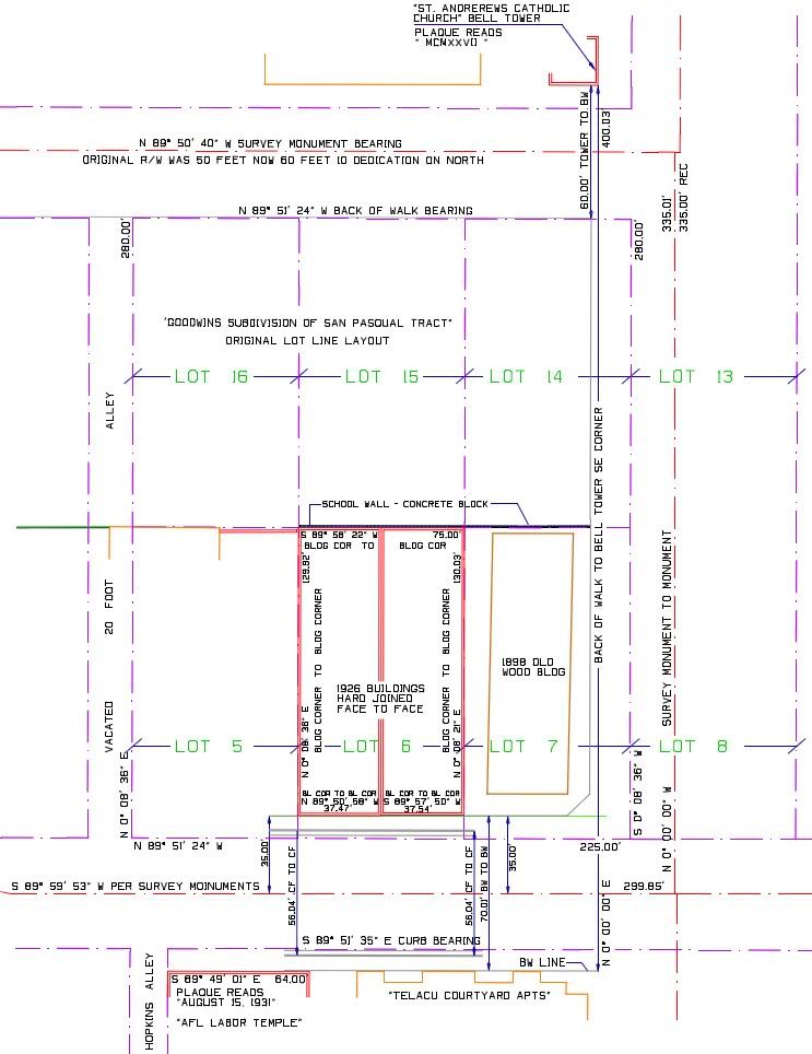
Nw Corner
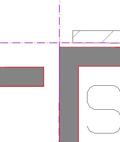
Ne Corner
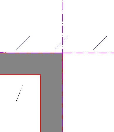
Se Corner
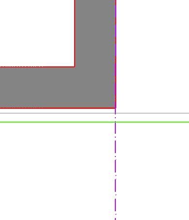
Sw Corner
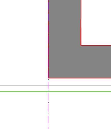
North is up screen.
The Northern street took 10 feet on the north side and the city in thier wisdom shifted the monumented centerline by 5 feet north.
The Southern street monumented centerline is 'supposed' to be in it's original location..That I seriously doubt. If a half street line is placed on the south side using the survey monumented centerline the sideline will go into the old buildings on the south..and I know that is not how they were laid out.
Since the monuments on the Eastern street are record distance between the Southern street and the Northern Street the block split line will run through the 1926 brick buildings. Again, not how they were surveyed in.
The original right of ways were 50 feet wide.
Some pics of the area
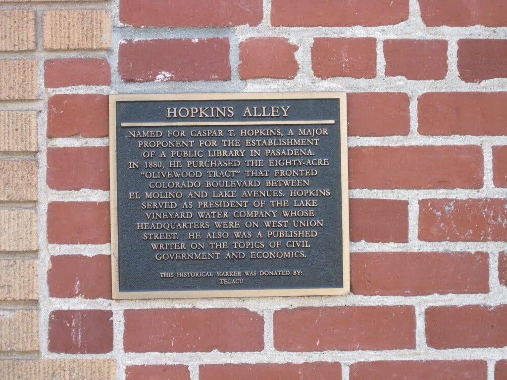
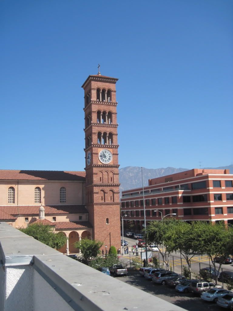
This is what you do with a Helipad when you can never land a helicopter on it
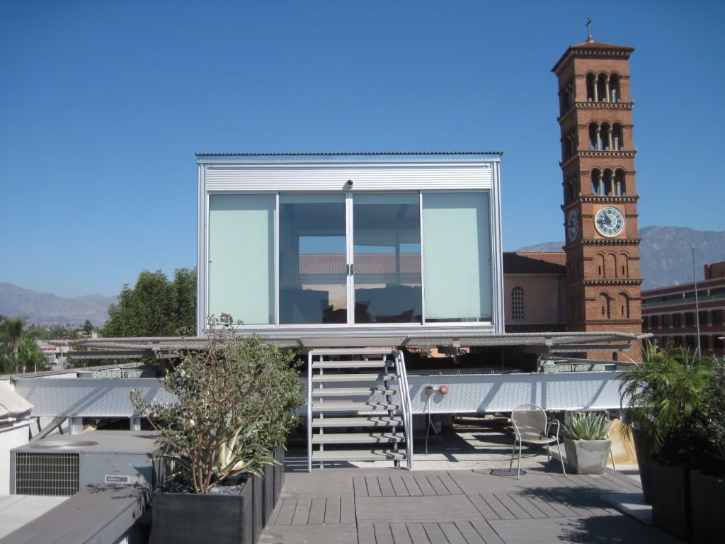
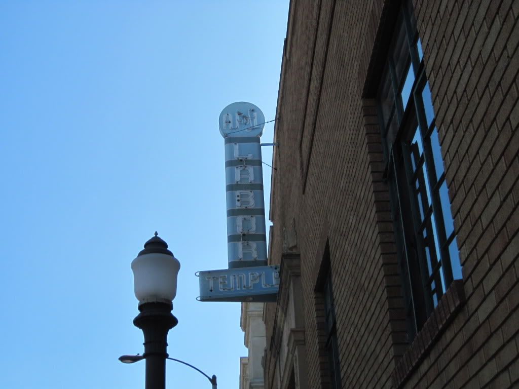
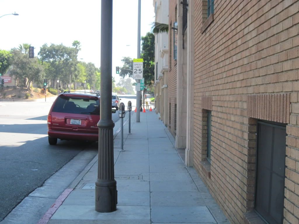
Some pics of the area
> This is what you do with a Helipad when you can never land a helicopter on it
And pray tell why that was a no go.
I couldn't tell from your pictures.
Stephen
The former owner went through all the red tape and cost to get a permit and build a Helipad..but...someone forgot to tell him that helicopters cannot land within X feet from a school..and there is one right hard against his north line.
Wow!
Mighty fine job of putting the buildings where they are supposed to be. Micrometer building construction.


