I took these with my digital camera but hopefully they are somewhat readable:
Overall image of map: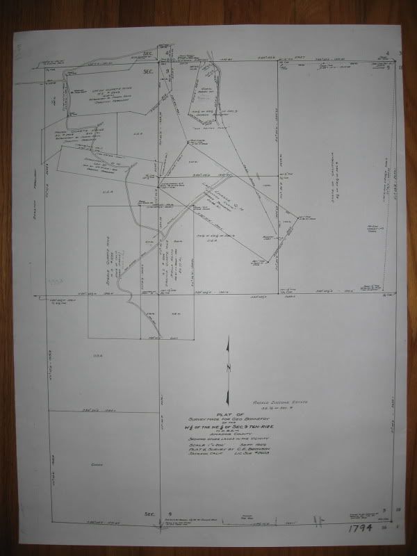
Larger view of map title: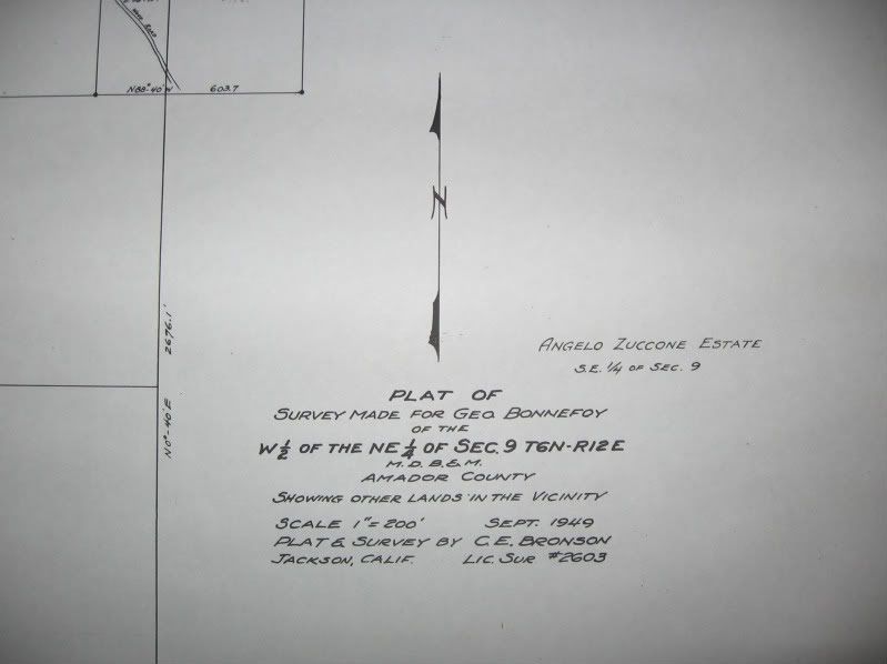
Northeast quarter of Section 9: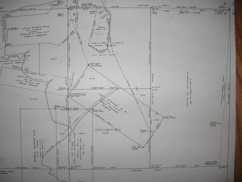
Southwest quarter of the Northeast quarter: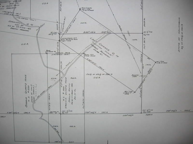
The Last Chance Q.M. was never patented. The State granted the little triangle in it's east half of the northeast quarter to Bonnefoy in the 1950s.
The 1970 BLM cap is near the 1-1/2" iron pipe at the east 1/16th corner.
Mount Zion-1959 R/S...
It appears that Bronson did not set the east quarter corner so the State did it in the 1950s by single proportion. They differ by about 26' in the mile (on the east section line).
Note North is to the left: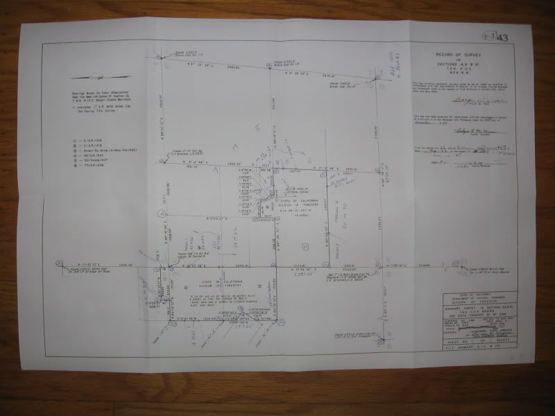
Detail in Section 9: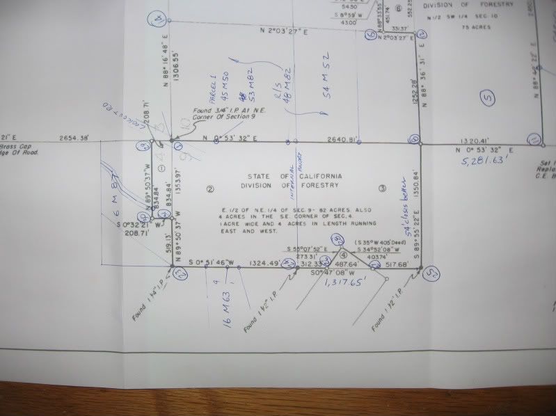
This little project is turning out to have some interesting aspects to it.
CAUTION - SPECULATION, read at your own risk:
BLM might've found that pipe disturbed; I can see why some certain property owner might want to move it but that's just speculation. I need their Field Notes to find out why they put that cap there.
SPECULATION OFF
Do you mean the CE 1/16 cor.?
Yes, the CE 1/16th corner.


