Today was such a nice day I put off everything else to go bench mark hunting. It was a very successful day, with
two recoveries to update finds from a decade ago, one stem-no-disk, one investigation that isn't complete, and a find that someone else reported as gone.
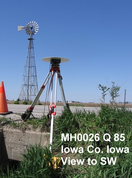
I got a 6-hour static session on one of the repeat recoveries, which should serve the GPS On Benchmarks program to cover one of the gaps where the GEOID12B map shows territory more than 40 km from any station with both old leveling and GPS.
We, too, sometimes have a windmill nearby.
This one has on the data sheet:
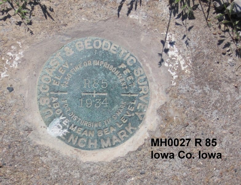
MH0027 STATION RECOVERY (1999)
MH0027
MH0027'RECOVERY NOTE BY AERIAL SERVICES INCORPORATED 1999
MH0027'IN THIS SAME APPROXIMATE LOCATION THERE IS A NEW HIGHWAY. THERE IS A
MH0027'CULVERT IN THIS SAME APPROXIMATE LOCATION BUT THERE IS NO BENCH MARK
MH0027'DISK. THERE IS A CHISELED X ON THE NEW CULVERT. THE ORIGINAL BENCH
MH0027'MARK HAS BEEN DESTROYED.
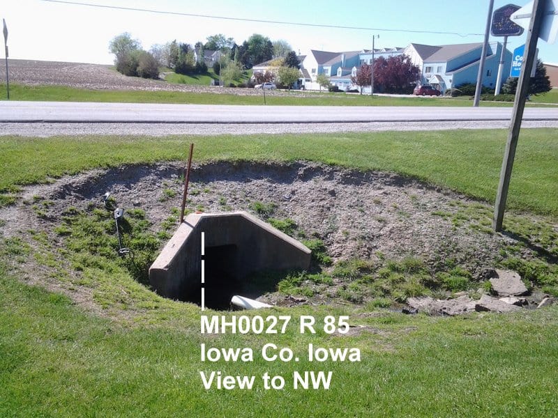
But I find it in plain sight within yards of the listed coordinates. (I found I didn't need the metal detector.) It would be a candidate for another GPS On Benchmark session as a check on the one a little over a mile to its north.
Looks like the old sign post is there too but missing the sign. Can't definitely tell from the quality of the photo.
Looks likes there has been some major washout there too.


