Kent McMillan, post: 376746, member: 3 wrote: My first thought is that assuming that the other surveyor's coordinates are absolutely free of any error is probably not a warranted assumption. So it would be more realistic to assign some standard errors to all of them, or so I'd think. That, however, would be most easily done if you could get the coordinate uncertainties from the surveyor. If his or her control network was adjusted by least squares, they should have formal estimates of the coordinate uncertainties, both in relation to each other and in relation to OSGB datum. The relative uncertainties are what I'd think would be most useful for your work, mainly just to get a reasonable estimate of some values to assign to the control coordinates you are basing your work upon. That is, are their relative standard errors +/-1mm, +/-5mm, or +/-1cm?
I have found their report and its very detailed. There may be all the data needed to create its own project in Star*Net
They have stated...
Average limit (Position): 0.0750 m
Average limit (Height): 0.0750 m
wilba, post: 376806, member: 9024 wrote: I have found their report and its very detailed. There may be all the data needed to create its own project in Star*Net
They have stated...
Average limit (Position): 0.0750 m
Average limit (Height): 0.0750 m
They're not putting their reputation on the line there!
I think "average limit" must mean something else or they are just covering themselves with huge tolerances.
Kent McMillan, post: 376770, member: 3 wrote: I don't see anything necessarily wrong with using an older total station if it is functioning well, but one thing that is always important for best results in Star*Net is to use realistic estimates of the standard errors of angles and distances measured. The manufacturer's spec for the total station would be a reasonable place to begin. What make and model is the instrument?
The other, equally important element is centering method for instrument and prisms/targets. Is the instrument centered using:
- optical plummet in tribrach,
- optical plummet in instrument alidade (rotates with instrument),
- laser plummet in tribrach, or
- laser plummet in instrument alidade?If the plummet doesn't rotate, it's important to verify that it will center over a ground mark within some tolerance. If it does rotate, that fact can be checked by simply rotating the instrument and checking centering in opposite orientations (rotated 180å¡).
The method by which targets and prisms are centered over control points is probably more critical to survey accuracy when someone other than the surveyor is responsible for doing so. Centering accuracy is a relatively easy thing to test to get a realistic value of the standard error of target centering to use in Star*Net.
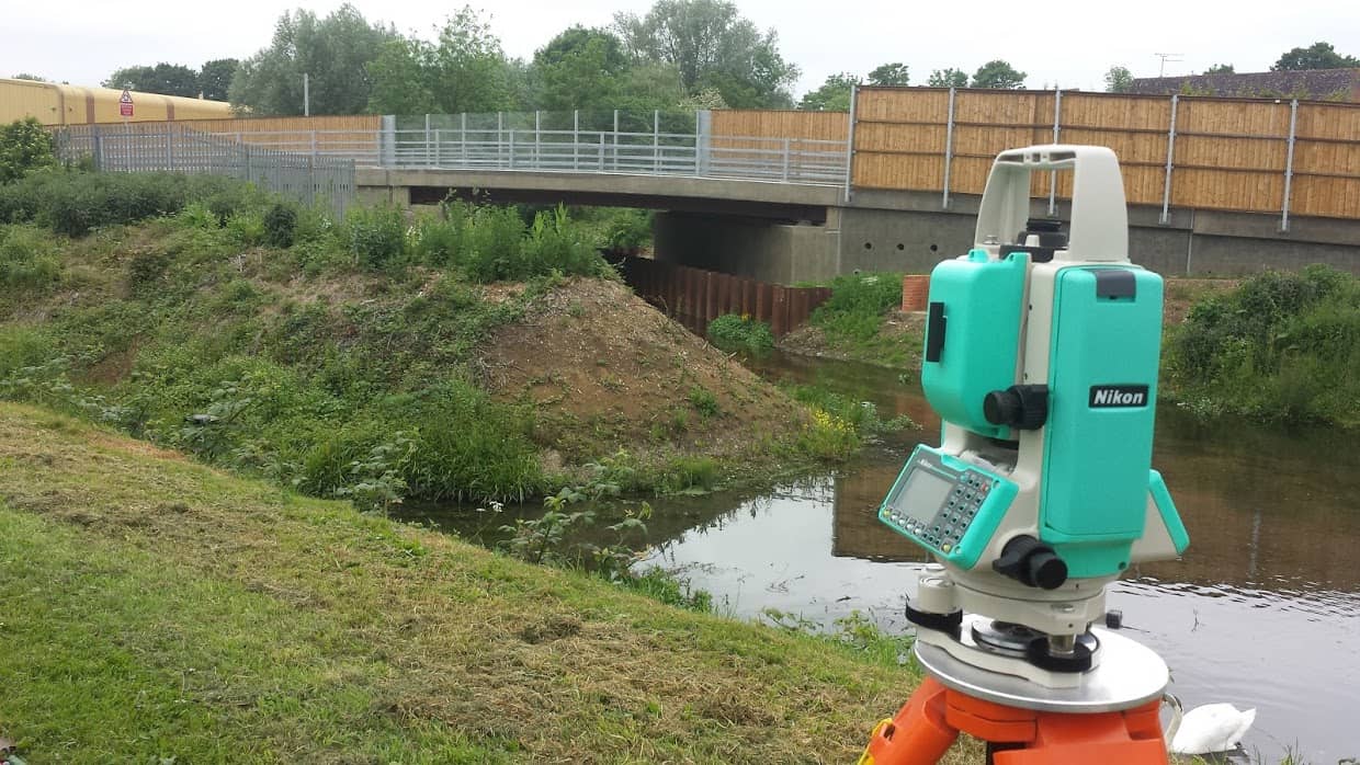
I have an Nikon NPL362 - Optical plummet in instrument alidade (rotates with instrument)
It stays over the mark when rotating.
I need to check the angle corrections and instrument constant. I sometimes get discrepancies with F1 F2 angles. This might just be my aim.
Also I am sure I have issues with parallax sometimes.
Wooden tripods so i don't get problems with the sun causing distortion, though the instrument has electronic compensation.
I use a electronic barometer which i find corresponds to the sensors in my phone and keep it in the shade.

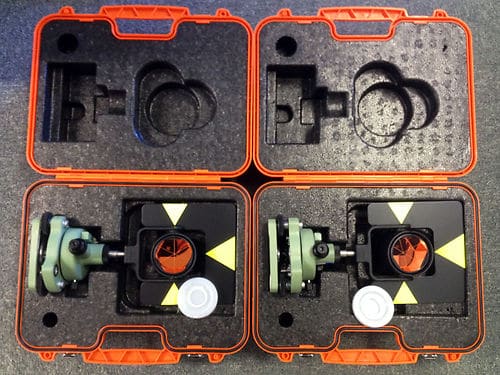
Prism stations - Leica (most probably copies) - optical plummets that rotates

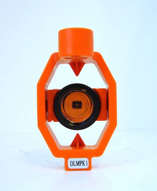
I use 34mm prism constant and 17mm for the small prism

A bi-pod for the normal rod (which i check with a "Prism Pole Vial Adjusting JIG")
I have also attached a second bubble to it so i can check it's OK whilst out.
My only dislike is getting HI's & HT's which seems to be a common theme. For now I just run a tape 'straight' to the horizontal axis.
squowse, post: 376810, member: 7109 wrote: They're not putting their reputation on the line there!
I think "average limit" must mean something else or they are just covering themselves with huge tolerances.
think i maybe part of their gps observations not to allow adjustment more than 75mm
wilba, post: 376806, member: 9024 wrote: I have found their report and its very detailed. There may be all the data needed to create its own project in Star*Net
They have stated...
Average limit (Position): 0.0750 m
Average limit (Height): 0.0750 m
Creating a Star*Net input file out of the data in the report would be exactly what I'd do. That way you don't have to guess about the uncertainties (relative and absolute) of the control points that your network is tied to. I'd make it a separate input file so that it can be turned off if later deemed appropriate.
wilba, post: 376814, member: 9024 wrote: I have an Nikon NPL362 - Optical plummet in instrument alidade (rotates with instrument)
It stays over the mark when rotating.
I need to check the angle corrections and instrument constant. I sometimes get discrepancies with F1 F2 angles. This might just be my aim.
Also I am sure I have issues with parallax sometimes.My only dislike is getting HI's & HT's which seems to be a common theme. For now I just run a tape 'straight' to the horizontal axis.
I don't see anything wrong with taping a slant HI to the mark in the side of the instrument and correcting it for the eccentricity. Since most HIs fall into a narrow range, it amounts in practice to just subtracting a constant value from the slope measurement. As for the Leica prisms, doesn't Leica make a special tape for that?
Per the Nikon specs for your instrument, the EDM should give:
ranges with a standard error of +/- (3mm + 2ppm) and
angles taken as the mean of F1 and F2 with a standard error of +/-(SQRT(2) X 3") = 4.2"
With rotatable optical plummets in both instrument and prism/target mounting, I'd say that a centering error of 0.25mm should be realistic. Running the adjustment with the above standard errors produces some distance residuals that are problematic, but, unless there is an obvious mismatch of prism constant and instrument setting, I would reserve judgment until adjusting your work in combination with the previous survey data rendered as a Star*Net input file.
wilba, post: 376823, member: 9024 wrote: The error analysis section in their adjustment report showing error ellipses, which looks to be round about 10mm.
Those are at 95% confidence level, though, so divide by 2.47 to get an estimate of the standard errors, which would be closer to +/-4mm in round numbers.
Presumably those uncertainties listed in the report are in relation to some other distant control point? If you can create a Star*Net input file from their survey measurements, that would give the most refined result and allow you to adjust your work in conjunction with it to best advantage. That is, the Star*net input data would capture the relative uncertainties between the control points you've tied to in a way that is more useful than simply knowing what the uncertainties of the control points are in relation to some remote pillar or GNSS site.


