This job was amazingly fun. Going into it I knew it would be a challenge because a record search online turned up nothing really useful as did an email to the City about C/L ties.
Basically, the survey was ordered to verify a recent one that was done that said that a parking area was over line. I did a site visit before taking a crew out and saw only one monument of record in the area. There was a PM that was supposed to set spike and washers with ties, but judging from the paving age I dont think that was ever done. Seven C/L monuments and ties were to be set, 4 ties per point and the notes for the ties were to be on file with the city engineer.
http://survey.dpw.lacounty.gov/landrecords/parcel/PM167/PM167-036.pdf
The one monument I saw on the site walk was the lead/tag in the TC at the NE corner of Parcel 3 of the PM. I still have not figured out how that crew got started because the tags that were set still had the shiny on them and fesh ink crosses without any weathering. They did not use any of the 2" IP's that the PM called out for the sideline of Manford Way because we had to dig each one of them out when we got on site.
The tract I was a part of and also which the PM was a part of recorded in 1926. The line to be surveyed was the common line of lot 7 and lot 8.
http://survey.dpw.lacounty.gov/landrecords/Tract/MB0131/TR0131-068.pdf
We planned it out for day one that we would uncover as much as we could along Manford Way to Glenoaks Blvd, place control and shoot it all in. We were fortunate to find 12 different monuments. If I counted the other surveyors stuff, it was 18, but when I saw how dismal thier control was and how we had to dig for most of the controlling pipes I did not put a lot of weight on what they had plugged in the ground. The first day took about 8 hrs to recover, control and locate. We felt pretty good.
I knew that the most important pipes to chase down were the 1 1/2" galvanized ones that locked down the tract line on the NE. I am pretty sure that Clarence P. Day set these pipes. He had done other subdivisions in the area and his custom was to set galvanized pipe. It is amazing how well these pipes stand up to the seasons. Day had done a subdivision in 1916 in the immediate area that shows his preference for galvanized.
http://survey.dpw.lacounty.gov/landrecords/Tract/MB0033/TR0033-026.pdf
Even though the subdivision line was common to a deed line I believe that Day was involved with the deed as well, seeing that most of the exterior pipes of the subdivision/deed were galvanized.. I did not pull that deed, no need for that, but from my experience a monument call in a Los Angeles area deed is a rare thing. That one may be different.
Manford Way is a very quiet hilltop residential area that dead ends. The improvements are river rock curb and gutter and AC paving.
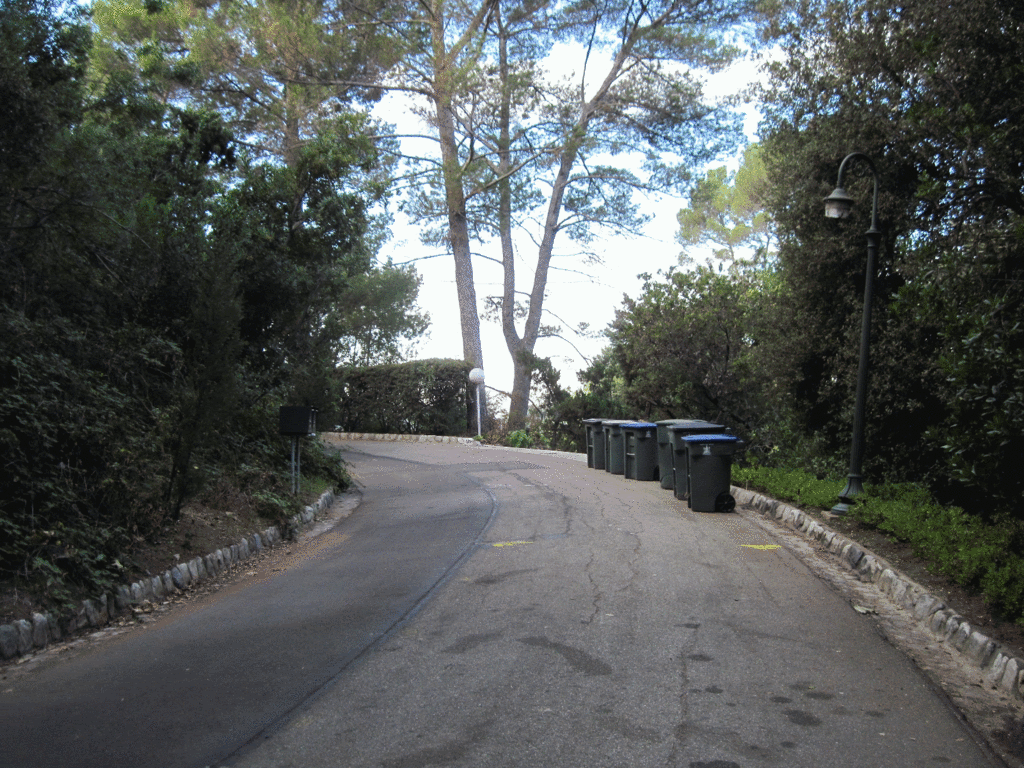
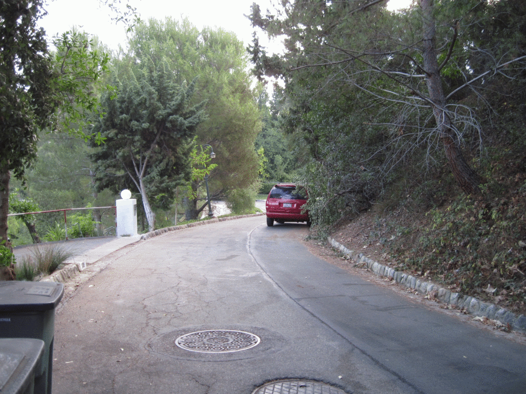
Nice and quiet but not a straight line in the whole street.
On day two we started to work our way down to the tract line. The slopes were not all that bad, lots of deer around, but there was also some mean poison oak in the area. I caught a 2 week case once when I was 18 and avoid that stuff as much as possible. This shot shows how much oak is on the slopes. The SW tract corner was 253 feet from this picture which lands about 50 feet away from the small manzinita bush on the slope that is mid picture.
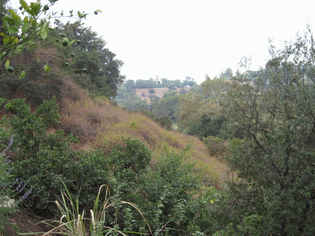
We decided to leave that one for the very last.
We located the markers the other crew had placed and three of them were offline quite a bit. If the line was produced downslope it would land west of the lot corner by almost 6 feet. We found a 1 1/2" IP at the corner marked RCE 1216. It was up a few inches and was never searched for by the previous crew. It was on the edge of the oak field in the picture but still not in it.
That was the NW lot corner.
We moved east and saw a new lath/pipe near a large oak tree at the NE lot corner. There was also an old iron guard post that someone had driven into the ground many years ago to witness the pipe that was there. The other survey crew just drove thier pipe in and capped it and walked away.
The day ended on a short note due to a family situation that Greg, my helper, needed to take care of.
On day three we started pretty late but headed straight for the NE corner when we arrived onsite. That old iron guard post was just yelling.. "Come and get me! Come and get me!" for the pipe that marked the actual corner.
The guys dug down about 6 inches or so next to the other crews pipe and found the other lot corner. It was another 1 1/2" IP RCE 1216.
I have had nothing but good experiences with RCE 1216.
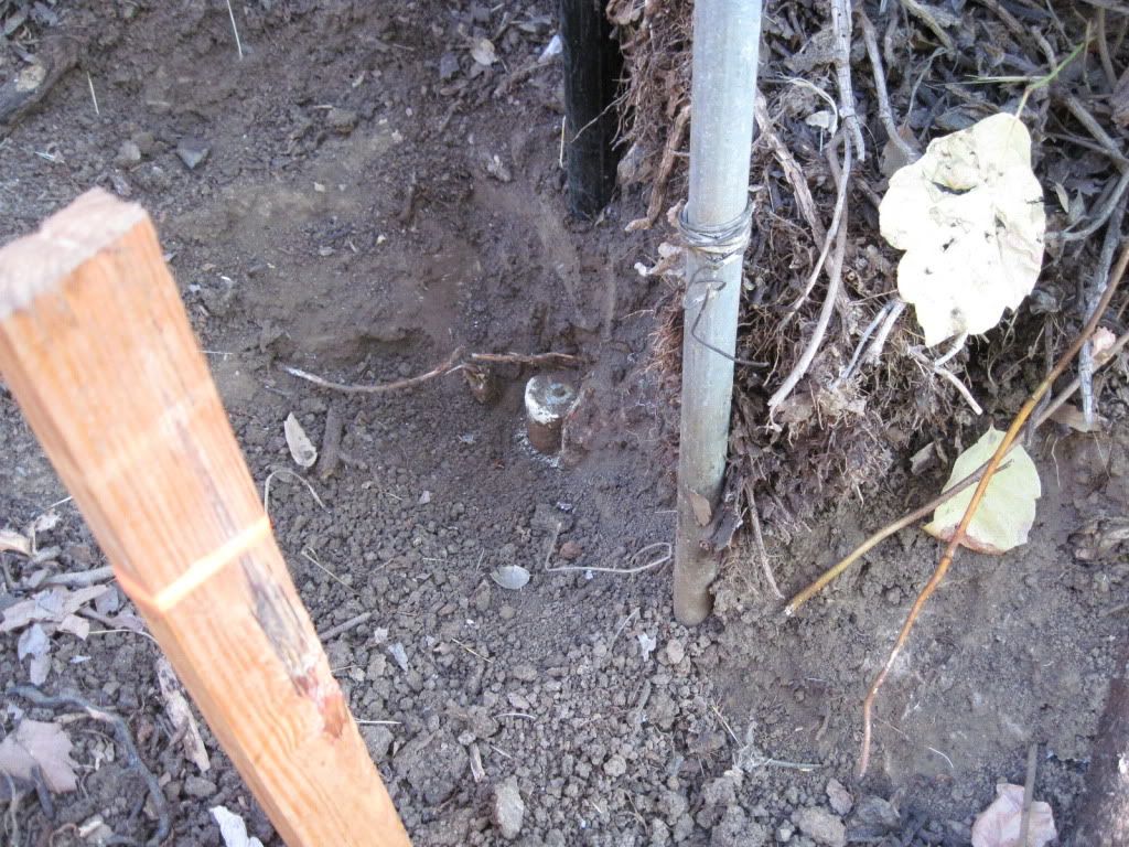
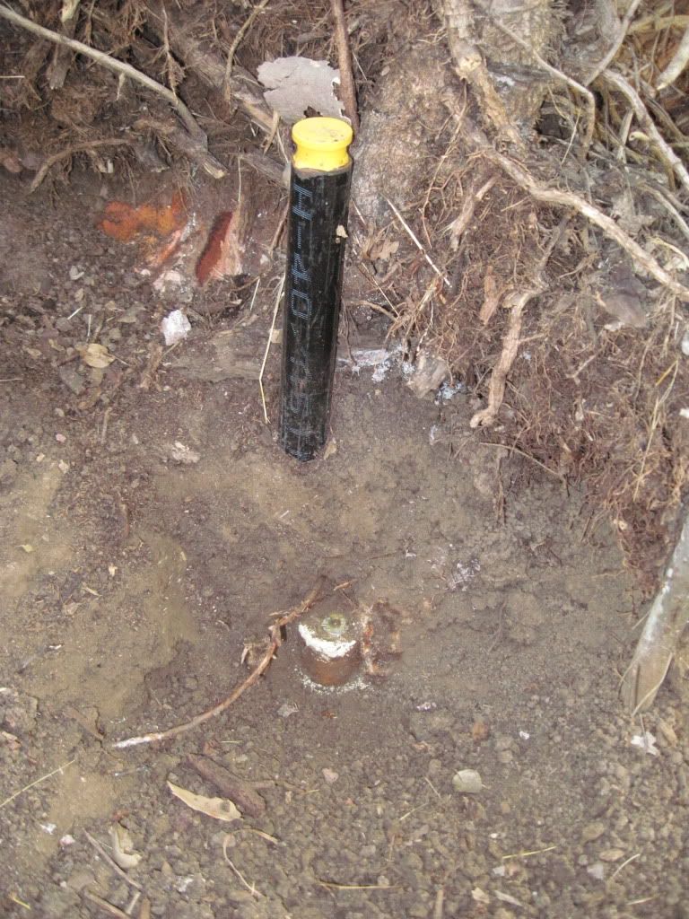
We kept moving east and searched for the common corner of lot 9 and 10. It landed in a watercourse and a fairly new installed splash pad and rip rock had destroyed it. No doubt that pipe would have been RCE 1216 if it could have been found.
Raz and Simon then moved up a hill and through a pretty dense oak tree area. The line of sight was pretty slim from where I was set up and I did not relish the thought of having to go through another setup and climb some damned hill. Raz found the NE tract corner and it turns out that I had about a 6 inch clear window to get two shots on the pipe.
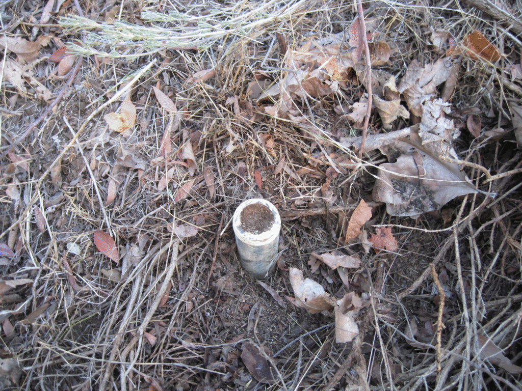
It's pretty amazing how well galvanized holds up. The pipe precedes the 1926 subdivision. I guess if the pipe was not plugged so well to keep moisture out it would not be in such great condition.
Now we have three pipes of substance, and of course, they do not line up..so we push over to a new setup in the street and start working our way down a common driveway to see if we can get closer to the SW corner. We got to within 75 feet of it and the poison oak was relatively sparse.
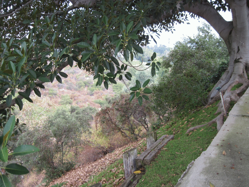
We turned out the calc'd angle and just left of line, through another small window, we see another old iron witness post in the field of view. Raz and Simon made thier way over there and we double shot the pipe. Another galvanized 1 1/2" with a wood plug.
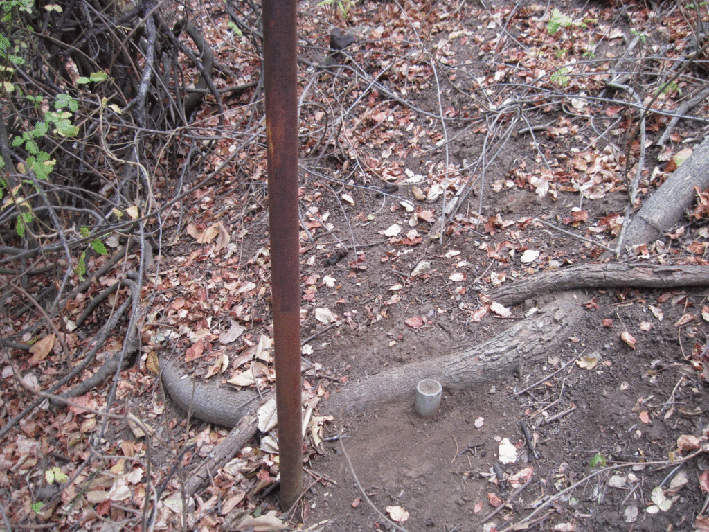
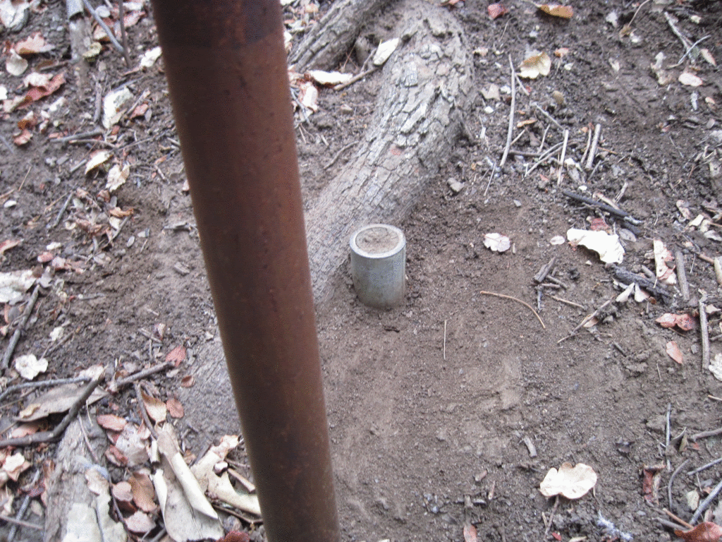
It was a fun survey....
Paul...
I literally laughed (bellowed) out loud at your NOTE 'A'. I like it. I've heard the story of an old timer around here (very good surveyor) that bought another surveyor (marginal reputation) from 2 counties away a shovel and gave it to him at a meeting of the state Surveyors Association Chapter meeting and said "learn how to use it".
On another note, the underlined note above NOTE 'A' states it's the NE'LY LINE OF TRACT NO. 8009.... the line is heading NE'ly, so shouldn't it be the SE'ly or NW'ly line of said tract? Or that's they way it's done here.
And on a curiosity note: You have your control line and points plotted and shown, I guess that's so someone won't confuse your traverse points for corner monuments. But is your survey a closed traverse? Or are the traverse lines done in a way (4x turned or whatever) so that you only have to do a chain or corridor type traverse. I'm not harping on procedure, I'm truly just curious.
Carl
Nice one.
Another Pasadena Survey - Carl
> Paul...
>> On another note, the underlined note above NOTE 'A' states it's the NE'LY LINE OF TRACT NO. 8009.... the line is heading NE'ly, so shouldn't it be the SE'ly or NW'ly line of said tract? Or that's they way it's done here.
Correct you are Carl..wrong direction. I am sure other typos exist ..Thanks
>
> And on a curiosity note: You have your control line and points plotted and shown, I guess that's so someone won't confuse your traverse points for corner monuments. But is your survey a closed traverse? Or are the traverse lines done in a way (4x turned or whatever) so that you only have to do a chain or corridor type traverse. I'm not harping on procedure, I'm truly just curious.
>
The control line shown is for following surveyors. The control is tightly closed and the points for 'A' - 'F' should last a long time, until the street gets ripped up. Since each noted monument can be used to locate any other one on the survey I felt the control was needed for the area as well as to those who need to tie into this part of the subdivision from Glenoaks.
Another Pasadena Survey - Paul
> The control line shown is for following surveyors. The control is tightly closed and the points for 'A' - 'F' should last a long time, until the street gets ripped up. Since each noted monument can be used to locate any other one on the survey I felt the control was needed for the area as well as to those who need to tie into this part of the subdivision from Glenoaks.
Sounds good to me! 🙂
I love looking at plats from other parts of the country, and yours tell so much info!
Good work!
And take a little time off... it's Sunday man!! 😀
EDIT: Paul, on the SW corner of the house, you need to round your offset from 64.10' to 64.1'. You also need to correct your Basis of Bearings note to reflect my first comment.
Carl
>> http://freepdfhosting.com/203cda5276.pdfbr >
Could not help but lol at calling a 1" iron pipe found on the northwesterly side of the PIQ off by.....yes.....wait for it....0.04'.
Sound the alarm!!
Between Lot 10 & 11 record distance is 195.60' vs 195.06' measured.
I assume you are holding the pipes along the street R/W for the street. The sideline distances on the Lot surveyed match within no more than a tenth. Up here on a mountain subdivision we would be jumping with joy at that. I've seen 13' but then the Placer County standard of an untagged 1/2" rebar back in the 1960s kind of makes it hard to tell if it's original or someone just stabbed a rebar into the ground (1/2" is easy to get). There was long standing evidence of occupation (a fence and house parallel to the line). The street end was good but the back down in the blackberries of a creek, I think the crew got tired of setting them and just started stabbing them into the ground but that's just my theory. We are talking massive blackberries.
> Could not help but lol at calling a 1" iron pipe found on the northwesterly side of the PIQ off by.....yes.....wait for it....0.04'.
Yes Sir! For me to accept anothers work, they have to make sure they do the best they can. In this case, the common line of lots 7/8 was set 3 times. I had no respect for thier work. They got lucky on one pipe..it hit right online, but even an ugly guy scores once in a while in a bar.
If I follow anothers work and I find evidence that they never bothered to find or consider..I am calling them off.
> Between Lot 10 & 11 record distance is 195.60' vs 195.06' measured.
>
> I assume you are holding the pipes along the street R/W for the street.
Yes. It seems that two sets of control were used. One for the north side and another for the south side. Since the PM dedicated an extra 8 feet and the city/public accepted it 25 years ago, it was the best available evidence and also the common sense thing to do.
The street was just another lot of the subdivision. If it was monumented when it was created then the story would have had a different ending and the 2" pipes the PM found on the south side would have most likely agreed with the founds on the north side.
The clients happy, well, as much as he can be after writing a check for my fee. I told him that even that pain will pass and he will realize that he got his moneys worth.
I'll buy the shovel if you leave Note "A" on the Record of Survey.
> I'll buy the shovel if you leave Note "A" on the Record of Survey.
I do not see any good reason to take it off Dave. It stays.
i do not disagree with your philosophy, but I did not see a reference about locating a tack, so .04 is still on the pipe unless I am missing something.
I guess what I would do differently is state what I am locating that is .04' off, or I would set a tack on the plug that fits my resolution for property line.
> > I'll buy the shovel if you leave Note "A" on the Record of Survey.
>
> I do not see any good reason to take it off Dave. It stays.
What will your County Surveyor, or whoever approves surveys for recording say? Does he have a say?
Another Pasadena Survey- Brian
Well, that was the sensitive line Brian.
Today when I delivered the map my client told me that the other surveyor (unlicensed BTW, but sheltered by one) told him that he brought control in from..now get ready for this...4 MILES away
Your point is well taken though and I do agree with you that is the way to do it, if it cuts through the pipe at all, it's fine, but this retracement just got under my skin. I really think that "surveyors" like this should be banned from the profession.
> What will your County Surveyor, or whoever approves surveys for recording say? Does he have a say?
Well, it's an opinion of mine and the deputies there should not even address the statement. They do not 'approve' the survey, they just check it according to standard of practise, sufficient control and method of establishment and other miscellaneous items.
I will not cause waves though, if it makes someone uncomfortable then I will take it off. Those guys at the county are friends and are more important that some personal observation like what I said.
Another Pasadena Survey- Brian again
I did a re word on it...
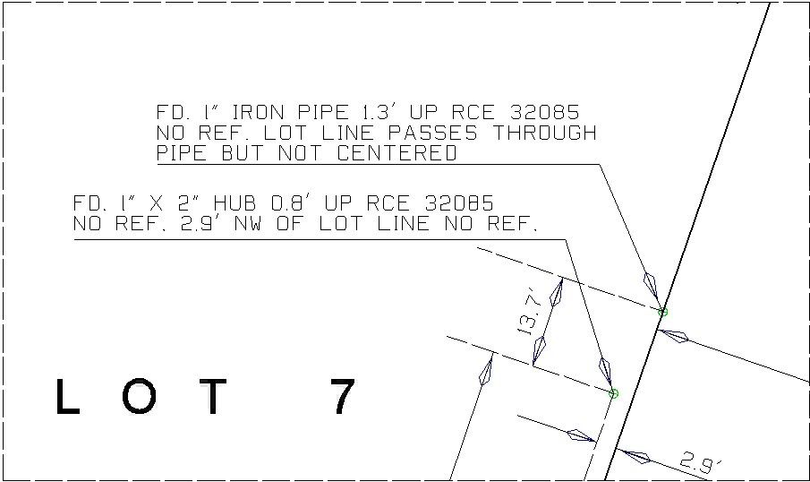
One reason I make calls about a point/nail/pk being off line is that I want the following surveyor to feel confident that the work he is following is correct and not fudged.
If someone shoots a PK that I say is 0.05' E/O line and they find it 0.03' or 0.04' E/O the line, then they will know that they are working in the same arena that I worked in. I would have the same confidence in my following someone else that did not fake the numbers. I think I will keep the 'not centered' statements though, it holds the pipe but lets others know that the center of the pipe (or nail/tag/tack) is not where line is.
BTW..I also took that note off about buying those guys a shovel.
Another Pasadena Survey- Brian again
We are more on the same page than you may think. I note how things fit just as you do. I just make sure (for the sake of detractors)that I clarify something like that.
But yes I get the feelings involved for sure.
Paul-you are right to hold the 2" pipes for the street R/W in my opinion.
Sooner or later every deed has to hit the dirt per my boss which is a true statement.


