Holy Cow, post: 350477, member: 50 wrote: Earthquake?
Or maybe it was 6" x 3" x 3".
Actually, I'm leaning towards a disgruntled neighbor with dynamite. The boulder is one of four corners lying along a common end line. I only found one of the corners.
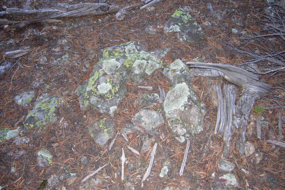
Here is a photo of a rock mound 13 feet away from where the boulder was. Nice mound, but no marked stone!
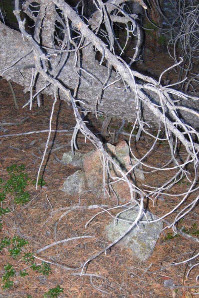
Photo of Cor. No. 4 of the West Alabama Lode (MS 15739) which lies under a 12" pine acting like a parasol. This corner is 150 feet from the missing boulder. The live tree has quite the lean to it. Thankfully, I was able to whip out my Star*Net software so I could get directly above the stone!
View from the east
View from the west
View from the south
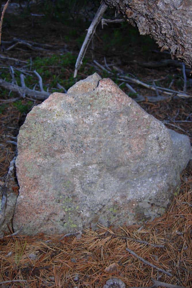
A close-up of the northeast face
That must be one VERY disgruntled neighbor! Not the kind you invite to the block party BBQ.
You've probably already thought of this; if'n the guy blew it up with dynamite, there should be a BIG crater; what if there was a scrivners error? I would look at the obvious places one would make an error and search the area in that direction.
A rock that big had to be there when he went to set the corner and would be hard to hide, even if it was blown to smithereens. B-)
Thank you Jameson. Your Grandpa is also a finder of stones with dimples!
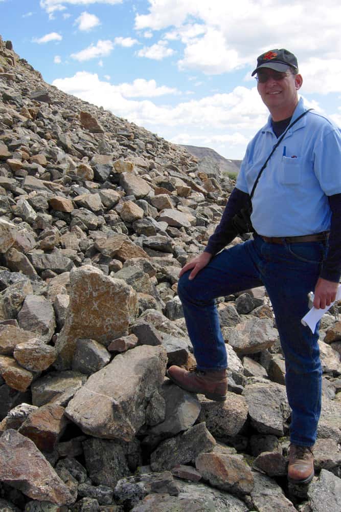
Grandpa on London Mountain at Cor. No. 1 of the Emma Nevada Lode (MS 4348). Elevation 12,140
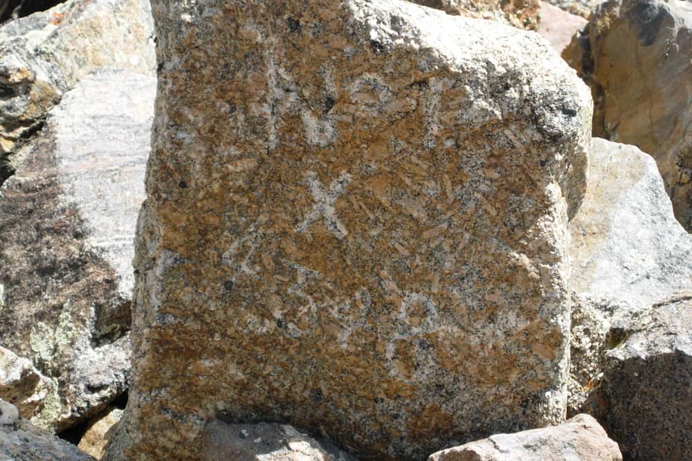
Close-up of Cor. No. 1, a quartz monzonite porphyry with large, tabular phenocrysts of orthoclase.
Jameson, Make sure to ask your Grandpa why the dimple is on the side of the stone!
P.S. I really enjoyed your visits a few summers ago. Merry Christmas to the Karoly family!!!!
Gene Kooper, post: 350580, member: 9850 wrote: Thank you Jameson. Your Grandpa is also a finder of stones with dimples!
Grandpa on London Mountain at Cor. No. 1 of the Emma Nevada Lode (MS 4348). Elevation 12,140
Close-up of Cor. No. 1, a quartz monzonite porphyry with large, tabular phenocrysts of orthoclase.
Jameson, Make sure to ask your Grandpa why the dimple is on the side of the stone!
P.S. I really enjoyed your visits a few summers ago. Merry Christmas to the Karoly family!!!!
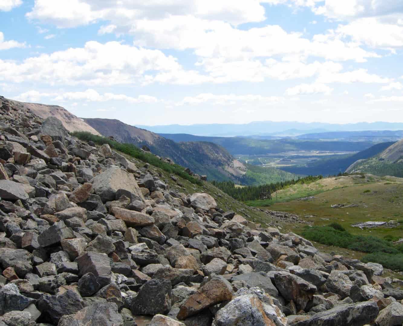
It doesn't look steep in the photo but it feel steep standing on a sloping tailus field of loose stones.
RADAR, post: 350530, member: 413 wrote: You've probably already thought of this; if'n the guy blew it up with dynamite, there should be a BIG crater; what if there was a scrivners error? I would look at the obvious places one would make an error and search the area in that direction.
A rock that big had to be there when he went to set the corner and would be hard to hide, even if it was blown to smithereens. B-)
The fact that three out of the four corners on that line are MIA is what makes me feel that some purposeful act(s) are the cause of their obliteration. Everything does fit well, so I am certain of the positions. Other mineral surveys made ties to the "X" on the boulder and the Report section of their field notes describe it as being, "properly marked and occupying [the] correct relative position as approved".
I won't complete the survey until May, but if you like, I can email you links of the mineral survey plats. Otherwise, you will have to wait until I post a picture of the monument I set in May.
(business email is cekooper at gmail dot com)
Dave Karoly, post: 350581, member: 94 wrote: It doesn't look steep in the photo but it feel steep standing on a sloping tailus field of loose stones.
Not to mention that the view to the east of South Park and the Front Range was exquisite that day!
[Edit to add]
The sun bleached wood remains in the right foreground were once towers to a tram that ran the ore done to a rail head along Mosquito Creek.
Gene Kooper, post: 350583, member: 9850 wrote: The sun bleached wood remains in the right foreground were once towers to a tram that ran the ore done to a rail head along Mosquito Creek.
Merry Christmas Gene;
Any chance Jack and/or Dan Casement watched those go in?
Cheers; and a Happy New Year to you and yours!
Dougie
Dougie,
Merry Christmas to you and your family. May you have a prosperous new year!
I'm not sure when that tram was in operation. Mining on London Mountain started in 1874 when the Mother Lode was surveyed. It was going strong through the early 1900s.
Gene
