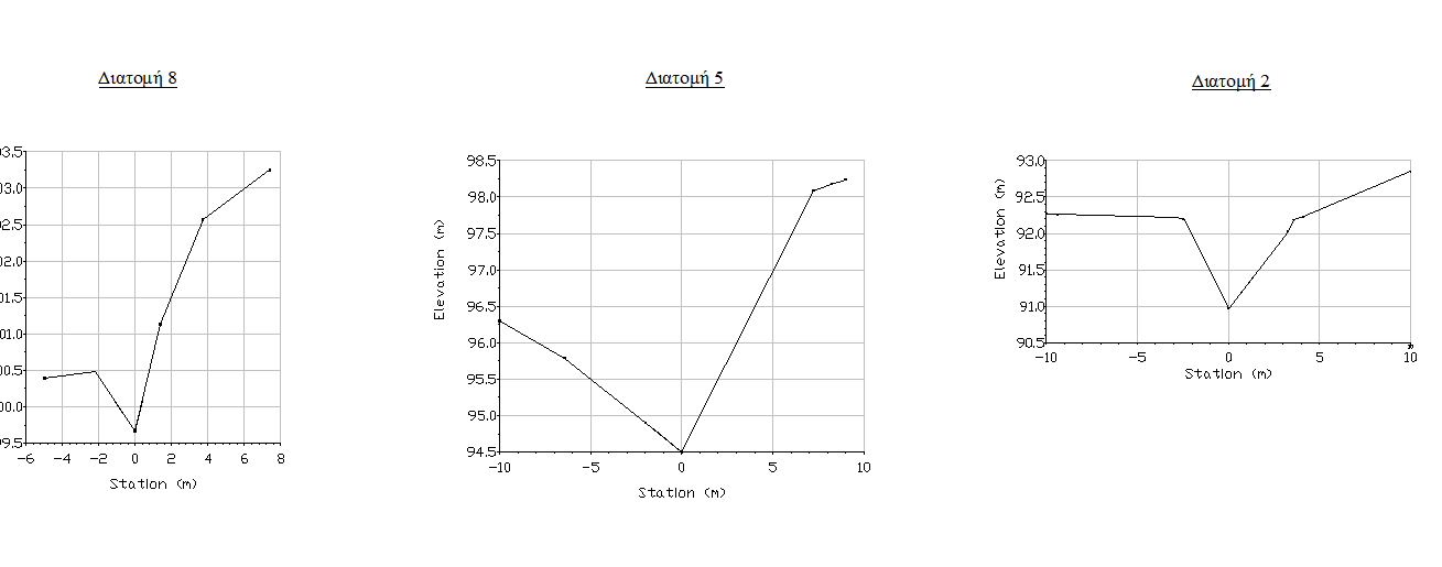
Hello, i want to take coordinates for all nodes from some sections that i made, how can i do it?
I attach a river plot that i have with section that i made ( ihave dtm model), then i want to take at every section their coordinates in order to insert in the program for river analysis program cche mesh. 
First and only river that I have ever seen that has a stream bed shaped like a V. Looks to me like there are some missing shots which would affect hydraulic flow calculations.
As to your question...you need to be more specific as to what software you are using to generate the sections.
ëª have carlson survey 2013
Maybe that's what they really look like in Utah. Wedged between two mountains.
johnymal, post: 338830, member: 7096 wrote: ëª have carlson survey 2013
try
SURFACE
SPOT ELEVATIONS
...


