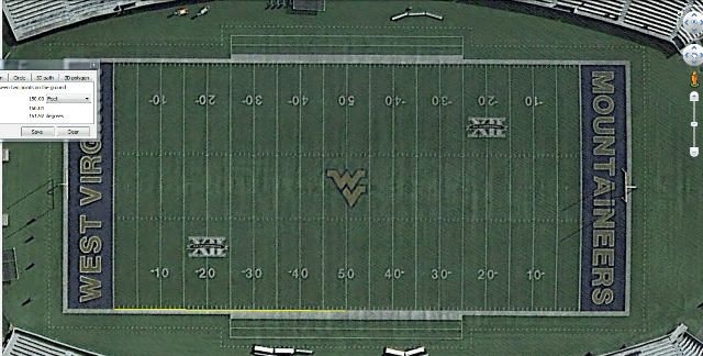
The joke here may be that the Google Earth team uses football fields to check photo geometry? 🙂
John Giles, post: 335637, member: 57 wrote: I use it all the time. I used to use it more when I could import straight into acad but that is broken now and I can't seem to fix it.
You might need to update google earth. sometimes some of its feature go down on me and it is because they released a new version. might work if you are on not the newest version. worth a try.
How/What did you import straight into autocad? Now I'm intrigued....
I have civil 3d 2012 and there is an option in the pulledown menu for it. I can still export my polylines to google earth just can't import images or surfaces anymore.
For some reason it only works on direction now.
Rich., post: 335950, member: 10450 wrote: How/What did you import straight into autocad? Now I'm intrigued....
It WAS a function of C3D. The current version of C3D and Autodesk 360 allows for importing BING maps as backgrounds.
DDSM:beer:


