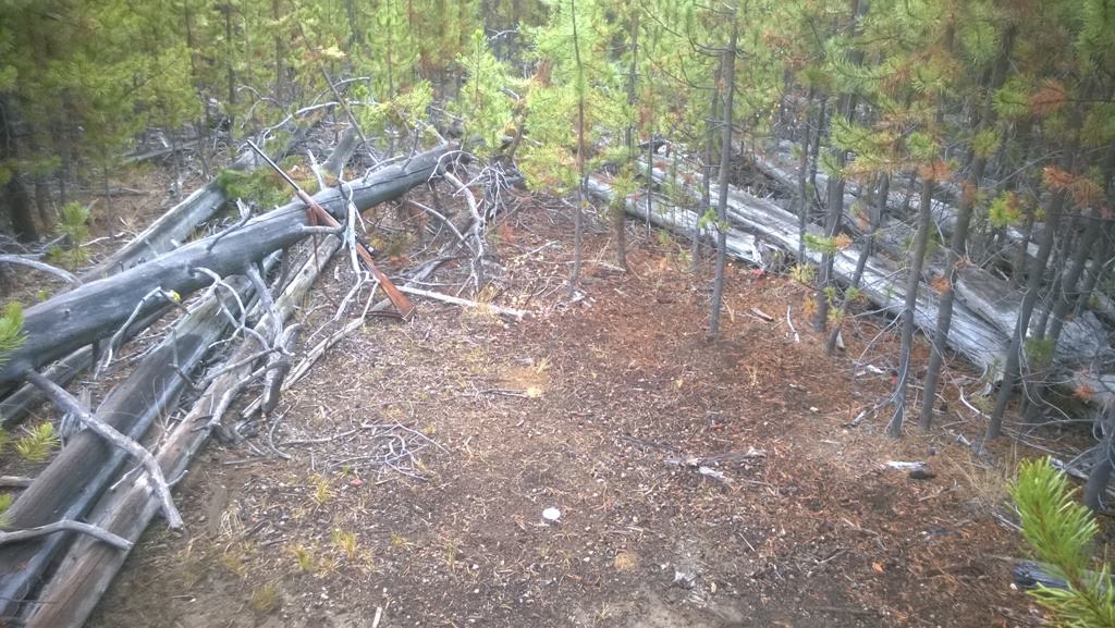
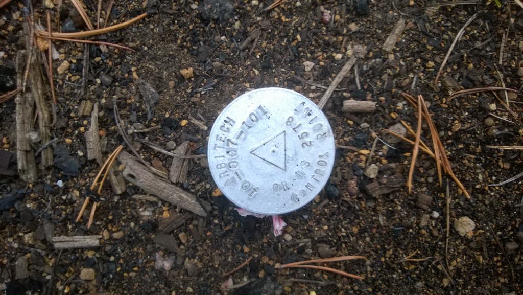
Found the control mon while deer hunting Sat. morning. Wouldn't be great for GPS today as it is in the middle of "dog hair" lodgepole pine thicket. Shelby must have set it some time ago. It is near the west bank of Snow Creek, not far from Deschutes Bridge. 

how high are the trees that a GPS point was established in that spot? Or would it be even useful for future observations if it will be under the canopy?
Knowing Shelby, he probably just stuck it there to make all of us scratch our noggins.
OK, admittedly this wasn't super wide open, sometimes you have to make do in the forest 🙂 This was for an aerial mapping project of some Deschutes NF quarry sites. It served the purpose...
Attached is the datasheet I produced, it shows the repod too, BUT not nearly as tall! Set in 2010, so a good bit of growth in six years.
SHG
I have observed that Lodgepoles can grow up to 13" per year.


