Greetings from Sydney Australia.
I work as a Building Designer, but survey, topo maps and GPS have always held a fascination with me, especially with surveys being part of my drawing sets to local authorities for planning approval. I use a number of different tools for my work, for levels for drawings, be it a laser level as a reference point for building elevations, or site levels, I have an old style theodolite gifted to me, still pretty accurate for setting out as well as a Leica Disto 810, with all its amazing functions, go to love laser.
On the CAD side of things, I use Vectorworks, and for 3D I use Trimble Sketchup Pro, especially for the Shadow study side of things, so much quicker than plotting vertical sun angles and horizontal angles at different times of the day and all that guff.
Part of my work is for a government department, with external building surveys required from time to time, photography a big part of that, a drone is going to be employed for this work. I have looked at 3D point cloud modelling for one of these projects in the past, the imagery from digital photographs, but there is a ways to go to have something that is useful.
A very recent addition to this is the Moasure, tricky to get going, but for what I do will be a useful tool in the box of tricks.
Have a great day, where ever you may be!
Log in to reply.
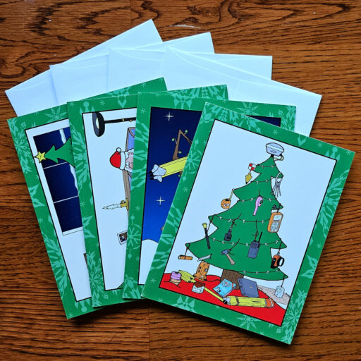
 POB Vintage Christmas Cards - Set of 4