One of the complexities of the project that I'm working on is a classic metes and bounds problem that boils down to the question of whether the Travis County Surveyor in the 1870s correctly identified the senior locations of grants surveyed in 1839 in attempting to identify the limits of the unappropriated public domain remaining eligible for location. The complexity is compounded by the fact that the 1839 surveyor began his series of surveys at a marked corner of a survey that does not exist in the records on file at the GLO. It exists as a crude notation on one later county map, but with no identifying data aside from the number of the survey and the supposed dimensions of its side and rear lines evidently taken from some record somewhere.
It was a brute force solution that actually identified the mystery survey by examining all of the field notes recorded in the Travis County Surveyor's Records with dates before that of the 1839 survey that is the focus of inquiry. That survey turned out to be one of 26 labors (26,000,000 sq. varas) of land fronting on the Colorado River surveyed in February, 1839 along with at least nine others as a series or system, all fronting the river and running back from it to make long tracts with average fronts of 1/2 of the length of the side of a square enclosing 26,000,000 as the laws then required of surveys made fronting on rivers and streams.
The fact that more than 40,000 acres of land were surveyed off for prospective owners, but the field notes were never filed in the GLO and no patent, of course, ever issued is genuinely odd. The field notes of the surveys as filed in the County Surveyor's Records indicate that all were made by virtue of headright certificates issued by various boards of land commissioners and subsequently sold to others who had presented the certificates to the County Surveyor for location. A quick look though the surname index of the GLO strongly suggests that most or all of the certificates were probably forgeries.
So, 1839 Deputy Surveyor spends a week in the Hill Country in February 1839 surveying the meanders of the Colorado River and laying out the various separate tracts to contain about 4605 acres each and I have to marvel that each of them was apparently based upon some flim-flam artist having sold forged land certificates to gullible purchasers, one of whom was one of the Allen Brothers who founded Houston and should have known better.
The next bit of work is to try to figure out where these surveys that never went to patent or even the GLO were most likely run on the ground to see whether the corner that provided the POB for the later work in question was possibly anywhere near where it was later thought to be.
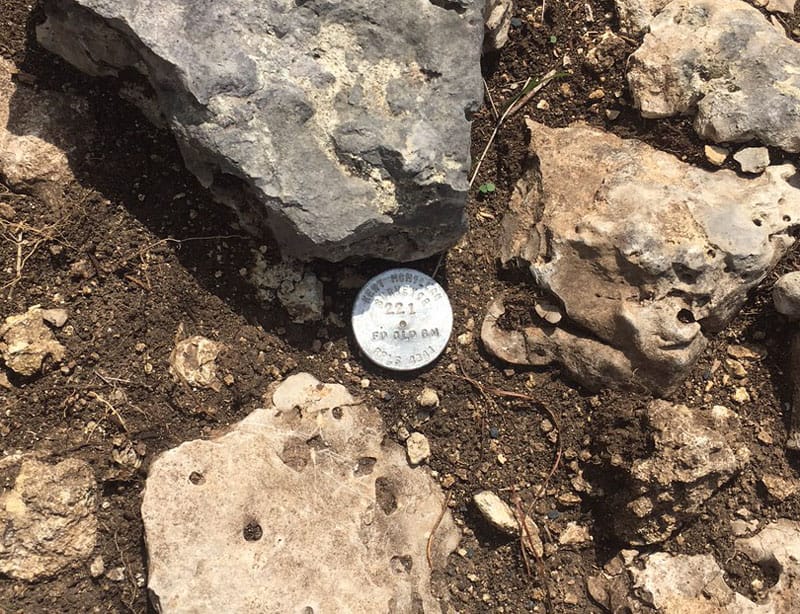
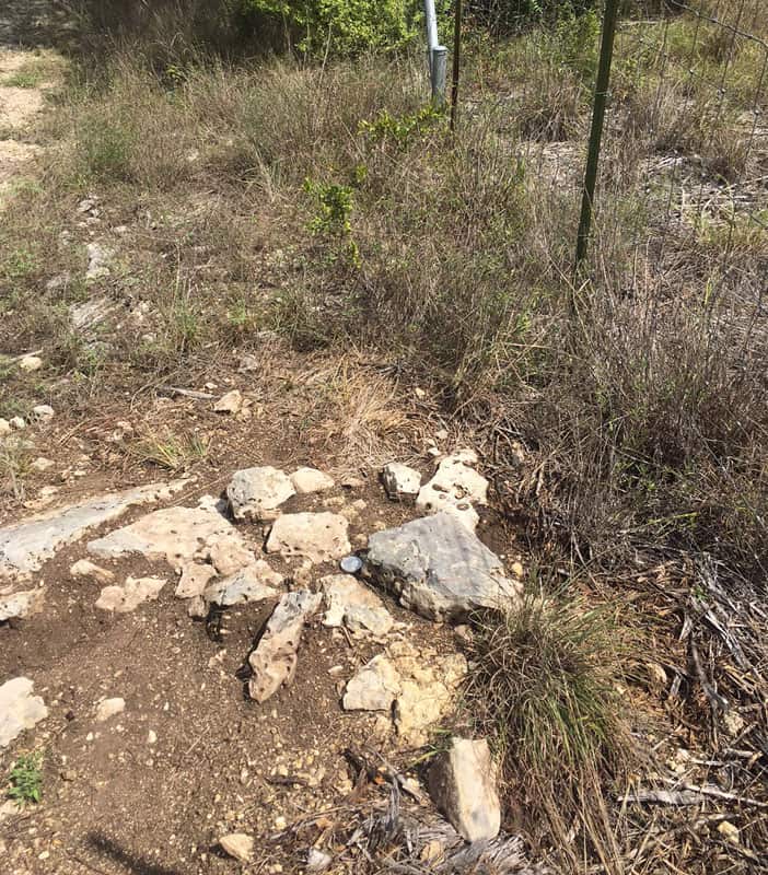
These remains of a stone mound are almost certainly where the County Surveyor reported the corner of the 1839 survey in question to be in 1876. It has taken a fair amount of work just to assemble the facts that prove up this corner to the point that I could add the stamping "FD OLD SM" to the cap. That takes the trail only back to 1876, not to the original surveys in 1839 that are separate and distinct things that take their positions on the ground from the footsteps of the 1839 surveyor who originally located them, if those footsteps can be traced.
Kent McMillan, post: 441390, member: 3 wrote: The fact that more than 40,000 acres of land were surveyed off for prospective owners, but the field notes were never filed in the GLO and no patent, of course, ever issued is genuinely odd. The field notes of the surveys as filed in the County Surveyor's Records indicate that all were made by virtue of headright certificates issued by various boards of land commissioners and subsequently sold to others who had presented the certificates to the County Surveyor for location. A quick look though the surname index of the GLO strongly suggests that most or all of the certificates were probably forgeries.
However, the story took an even stranger twist when I discovered that the headright certificates by virtue of which all roughly 40,000 acres of surveys were made were actually apparently genuine. The certificates were issued by the boards of land commissioners of various counties who kept a register of the certificate numbers and names of the grantees that agrees with the those noted by the 1839 surveyor as the basis of his work. So, the possibility that some great fraudulent land scheme had been detected and had prevented the field notes of the surveys from being returned to the GLO for filing and patent is much more unlikely.
The mystery lies in the fact that if the certificates were valid, then the fact that they went unlocated means is like having a winning lottery ticket and never cashing it. Land was fungible and the certificates could have been lifted or floated for relocation elsewhere if the owner just decided that the actual locations made in 1839 were not to his or her liking. So, why wasn't it?
The Deputy Surveyor who made the surveys in question in February, 1839 is evidently the same person identified as "the gallant Captain John L. Lynch" who got himself killed by Indians on Christmas Day later that year while engaged in trying to do the same to the Indians. At least, this is what Josiah Wilbarger reported in "Indian Depredations in Texas" published in 1890. This is a mystery, quite apart from the very concrete question of where Deputy Lynch located one particular corner in February 1839 that provided the POB of a couple of surveys made by another Deputy Surveyor a few months later that did go to patent.


