AI Assistant
Notifications
Clear all

1940 Rebar Example

23 Posts
14 Users
0 Reactions
1,516 Views
JamesMeis
(@jamesmeis)
Posts: 13
Member
Translate
English
Spanish
French
German
Italian
Portuguese
Russian
Chinese
Japanese
Korean
Arabic
Hindi
Dutch
Polish
Turkish
Vietnamese
Thai
Swedish
Danish
Finnish
Norwegian
Czech
Hungarian
Romanian
Greek
Hebrew
Indonesian
Malay
Ukrainian
Bulgarian
Croatian
Slovak
Slovenian
Serbian
Lithuanian
Latvian
Estonian
 

I live in Hays and I did the staking on Highway 183 from Hays to the Rooks County line a few years back. All of the RCBs were extended so the shoulders could be widened. The marks you are looking for are still there, they are just under several feet of fill. If you really want to find them, get a set of plans from KDOT or just look inside the RCB to see how long the extension was. Then measure back from the new headwall to the old headwall and start digging. Most of the marks would be set in the center of the headwall.

As far as setting up in an intersection to locate a point, well I do that everyday without any issues and I work by myself. In twelve plus years out here, nobody has ever messed with my base station.

If you need assistance shoot me an email. james at meisls dot com


Posted : October 31, 2014 9:27 pm
jhframe
(@jim-frame)
Posts: 7465
Member
Translate
English
Spanish
French
German
Italian
Portuguese
Russian
Chinese
Japanese
Korean
Arabic
Hindi
Dutch
Polish
Turkish
Vietnamese
Thai
Swedish
Danish
Finnish
Norwegian
Czech
Hungarian
Romanian
Greek
Hebrew
Indonesian
Malay
Ukrainian
Bulgarian
Croatian
Slovak
Slovenian
Serbian
Lithuanian
Latvian
Estonian
 

Kent, I'm curious.....

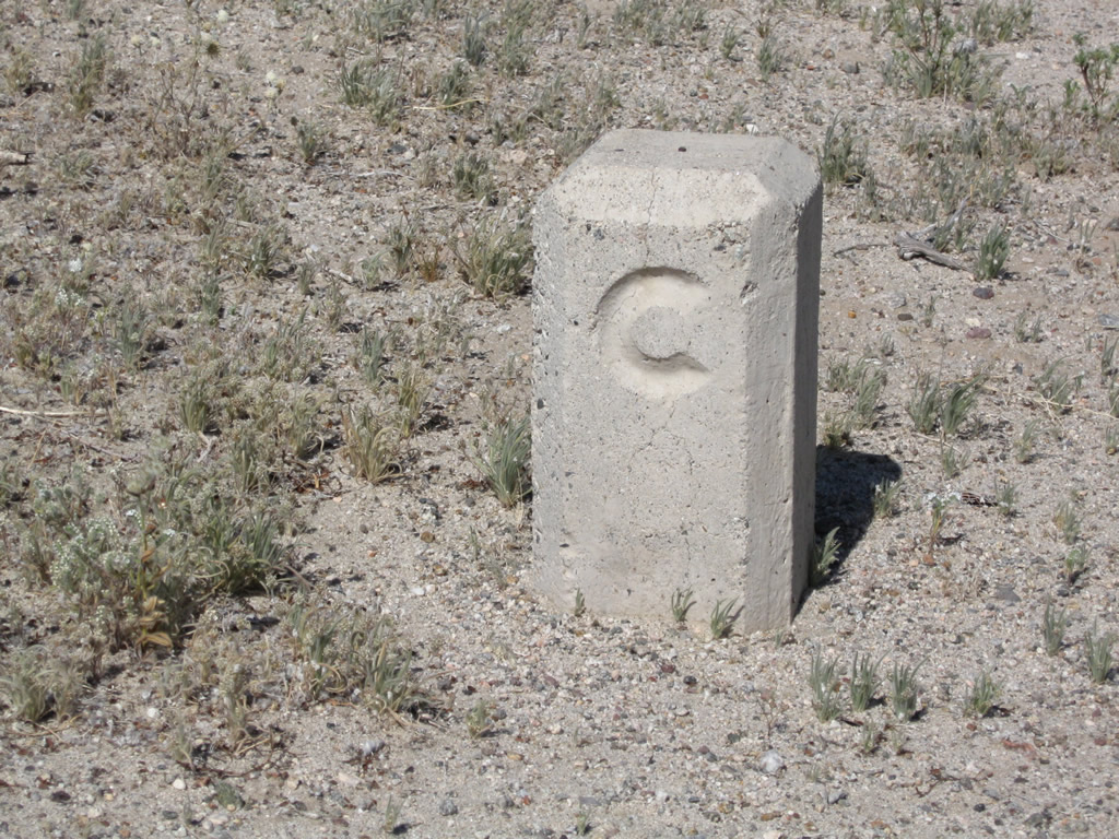
The old 6"x6" concrete California Highway Commission monuments have a brass wire in the center to mark the point.


Posted : October 31, 2014 9:44 pm
Rachael63
(@rachael63)
Posts: 8
Member
Translate
English
Spanish
French
German
Italian
Portuguese
Russian
Chinese
Japanese
Korean
Arabic
Hindi
Dutch
Polish
Turkish
Vietnamese
Thai
Swedish
Danish
Finnish
Norwegian
Czech
Hungarian
Romanian
Greek
Hebrew
Indonesian
Malay
Ukrainian
Bulgarian
Croatian
Slovak
Slovenian
Serbian
Lithuanian
Latvian
Estonian
 

How would I go about the RTK solution? Is that just setting up a base and letting it sit for a while to get coordinates? I'm basically an uber-newbie to surveying. I know GIS and Remote sensing more than surveying.


Posted : November 3, 2014 9:07 am
Page 2 / 2